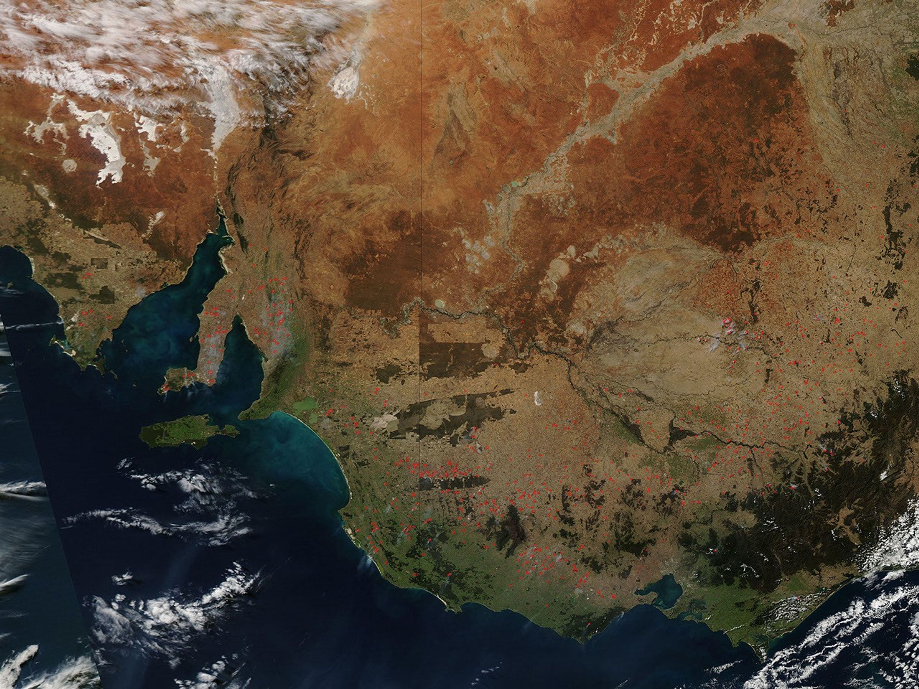
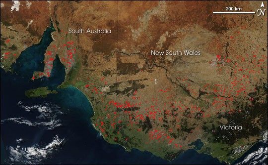
Suggested Searches

1 min read

Fires in Southeastern Australia

Instruments:
Topics:
2006-04-26 00:00:00
April 26, 2006

Scores of fires, most of them probably related to agriculture, were burning in the southeastern part of Australia on April 26, 2006. This image was captured by the Moderate Resolution Imaging Spectroradiometer (MODIS) on NASA’s Aqua satellite. Places where MODIS detected actively burning fires are marked in red.

The high-resolution image provided above has a spatial resolution of 500 meters per pixel. The MODIS Rapid Response Team provides

daily images

of the area in a variety of resolutions and formats, via a clickable map of the continent.

References & Resources

NASA image courtesy the MODIS Rapid Response Team, Goddard Space Flight Center.

You may also be interested in:

Stay up-to-date with the latest content from NASA as we explore the universe and discover more about our home planet.

New Timing for Stubble Burning in India
5 min read

Scientists say the seasonal crop fires are burning later in the day than in previous years.

Article
B.C. Wildfires Send Smoke Skyward
2 min read

Lightning likely ignited several large fires that sent smoke pouring over the Canadian province in early September 2025.

Article
Smoky Skies in the Pacific Northwest
3 min read

Smoke filled river valleys in northeastern Washington and parts of British Columbia.

Article