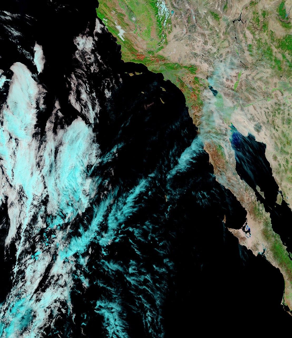
On October 28, 2007, when the Moderate Resolution Imaging Spectroradiometer (MODIS) on NASA’s Terra satellite passed over Southern California, most of the devastating blazes that had ravaged the area in the previous week appeared to have calmed. This image, made using visible and infrared light, shows the extent of the fires over the landscape. Unburned vegetation is bright green, urban areas are gray, burned areas are brick red, and areas where MODIS detected actively burning fire are outlined in red. The bright pink glow within the fire locations is often a sign of open flame in this type of image. Both the Santiago and Poomacha Fires were still active.
The large image provided above is at the sensor’s maximum spatial resolution (level of detail) of 250 meters per pixel. The MODIS Rapid Response Team provides twice-daily images of the region in additional formats, including photo-like natural color.
References & Resources
NASA image courtesy the MODIS Rapid Response Team, Goddard Space Flight Center