March 21, 2007
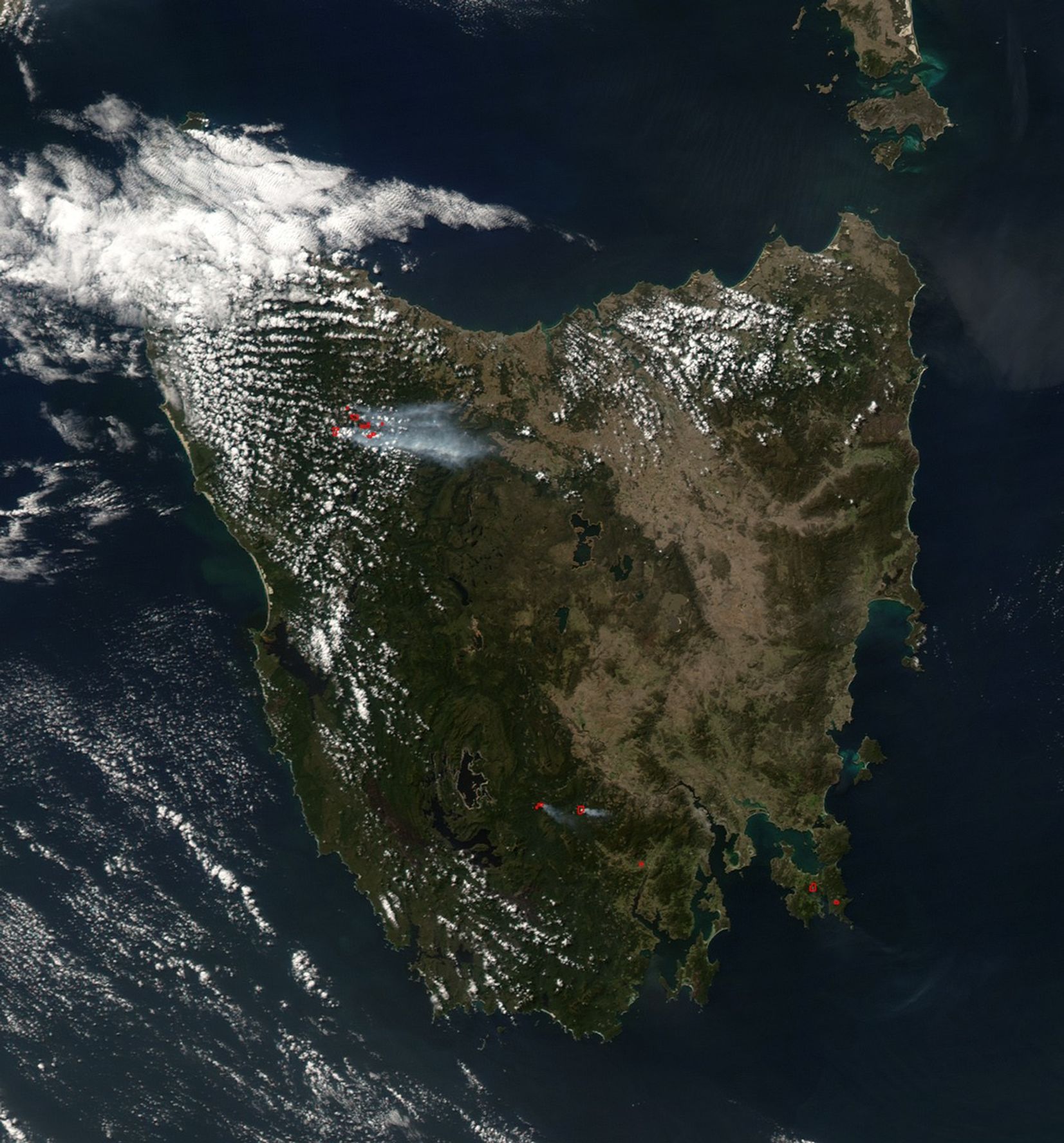
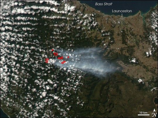
On March 21, 2007, the Moderate Resolution Imaging Spectroradiometer (MODIS) on NASA’s Aqua satellite captured this image of northwestern Tasmania (southeast of Australia) showing a cluster of fires (marked in red). According to reports from the Tasmania Fire Service, fires in the area were triggered by lightning in February and continued to burn over the next month. The area is a natural recreation area, near Cradle Mountain, and various trails were closed off and on as a safety precaution.
You can download 250-meter-resolution KMZ file ot Tasmania for use with Google Earth.
References & Resources
NASA image created by Jesse Allen, using data provided courtesy of the MODIS Rapid Response team.