April 4, 2006
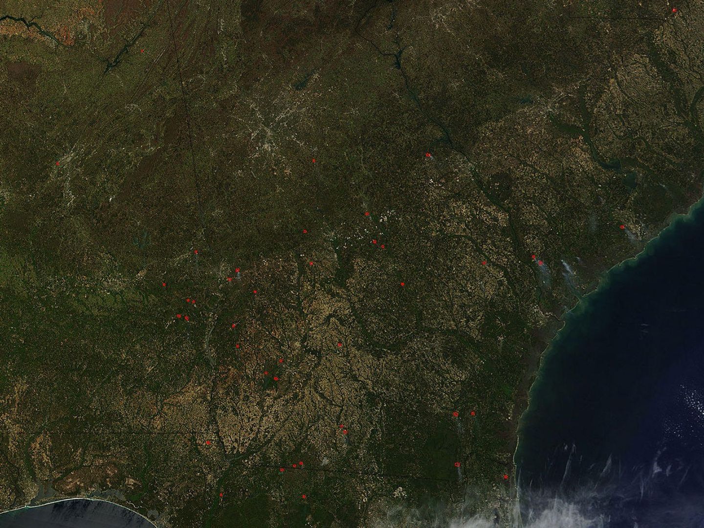
Across the Southeast on April 4, 2006, the Moderate Resolution Imaging Spectroradiometer (MODIS) on NASA’s Terra satellite detected numerous fires (marked in red) burning when it passed over head. As of April 4, 2006, the Southern Area Coordination Center was reporting a year-to-date total of 17,704 human-caused fires and 63 lightning-caused fires. Nearly 1.5 million acres have burned so far in the South this year.
The high-resolution image provided above has a spatial resolution of 500 meters per pixel. The MODIS Rapid Response Team provides daily subsets of the region in a variety of resolutions and formats.
References & Resources
NASA image courtesy the MODIS Rapid Response Team, Goddard Space Flight Center.