


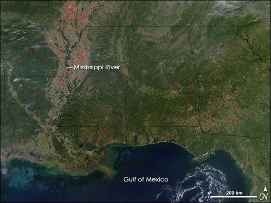
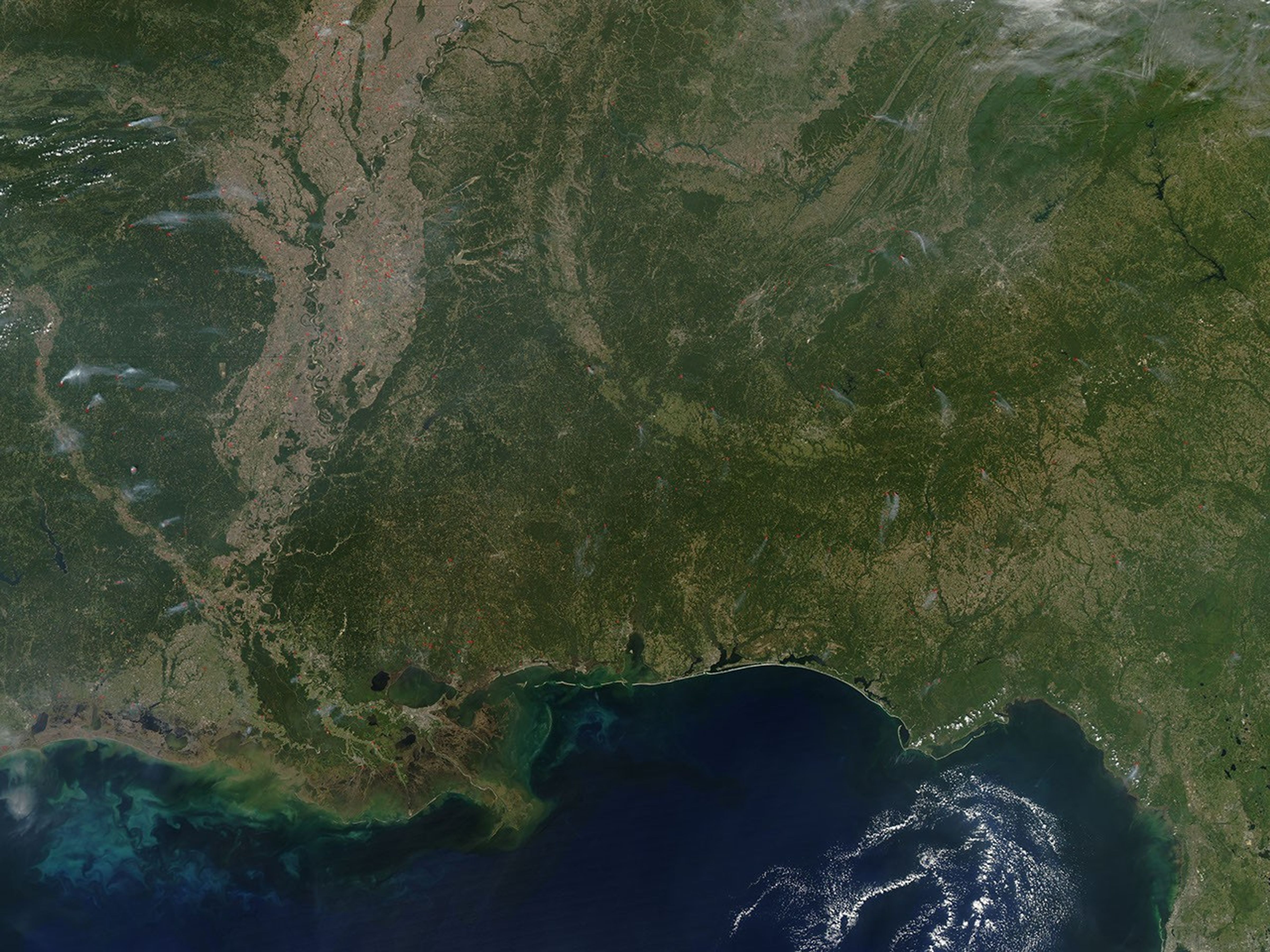
In the Mississippi River floodplain and in states across the South, many fires were burning on October 18, 2005, when the Moderate Resolution Imaging Spectroradiometer (MODIS) on NASA’s Aqua satellite passed over the region and collected this image. Fires that MODIS detected are marked with red dots, and many have small plumes of smoke. According to reports from the Southern Area Coordination Center for October 19, many types of fires were occurring across the region—some caused by lightning, some caused accidentally by people, and others started by land management officials as prescribed, or planned, burns to manage natural resources.
The high-resolution image provided above has a spatial resolution of 250 meters per pixel. The MODIS Rapid Response Team provides this image at additional resolutions.
References & Resources
NASA image courtesy Jeff Schmaltz, MODIS Rapid Response Team, Goddard Space Flight Center


