- February 15, 2006 (Terra MODIS; 2.3 MB)
- February 4, 2006 (Aqua MODIS; 2.0 MB)
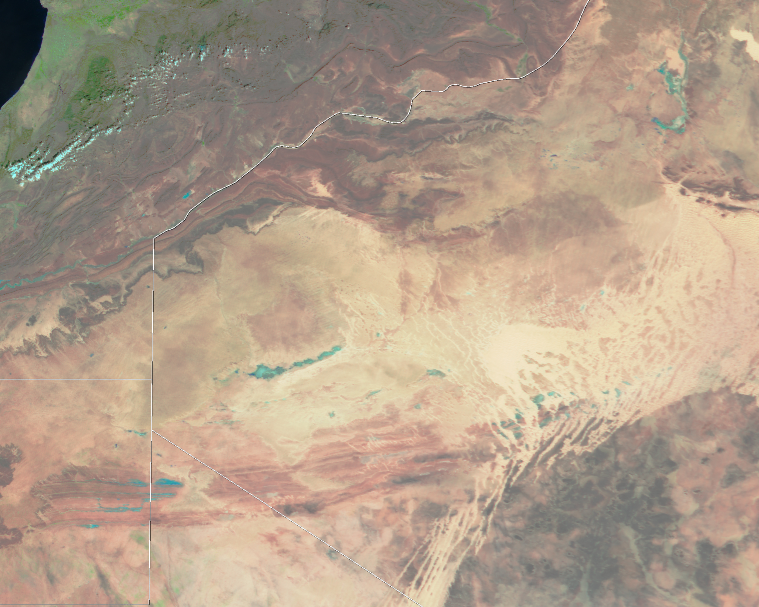
Torrential rain pounded the western Sahara Desert in mid-February 2006, filling wadis and dry lake beds. This pair of false-color Moderate Resolution Imaging Spectroradiometer (MODIS) images, taken by NASA’s Terra satellite, shows the effect of the storm on the desert. Pale blue water puddles on the tan and pink desert of southwestern Algeria in the center of the top image, taken on February 15, 2006. The lower image shows conditions before the storm on February 4, when the desert displayed only small traces of water.
Though the flooding may not seem severe from these images, the rains and floods destroyed parts of several refugee camps in southwestern Algeria, leaving some 60,000 people without food or shelter, the United Nations reported. The refugees are Sahrawis from Western Sahara, seen in the lower left side of the images. Since 1975, Western Sahara has been administered by Morocco but is seeking independence.
References & Resources
NASA images created by Jesse Allen, Earth Observatory, using data obtained courtesy of the Goddard Earth Sciences DAAC.