


- December 19, 2004 (2.1 MB)
- December 1, 2004 (2.7 MB)
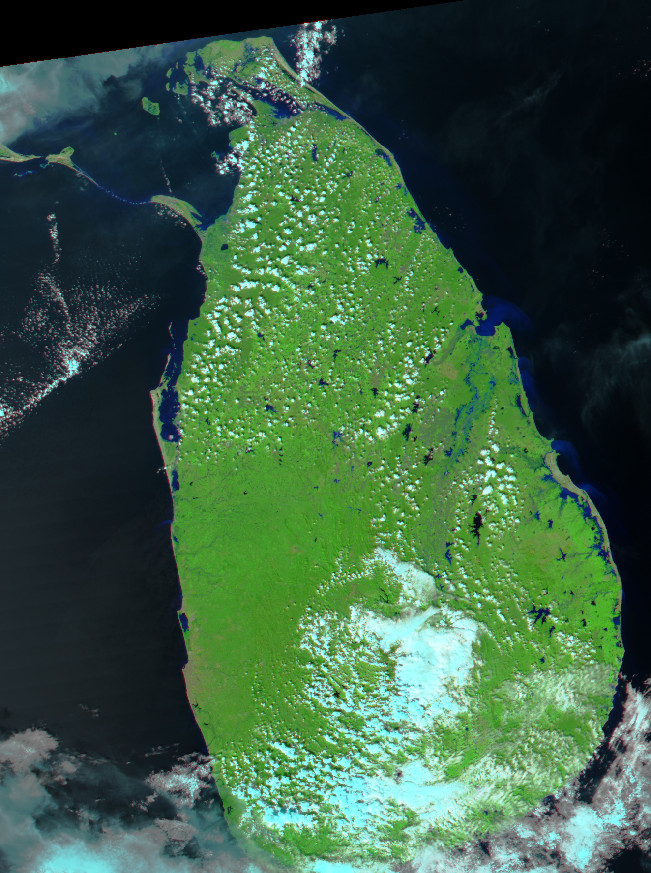
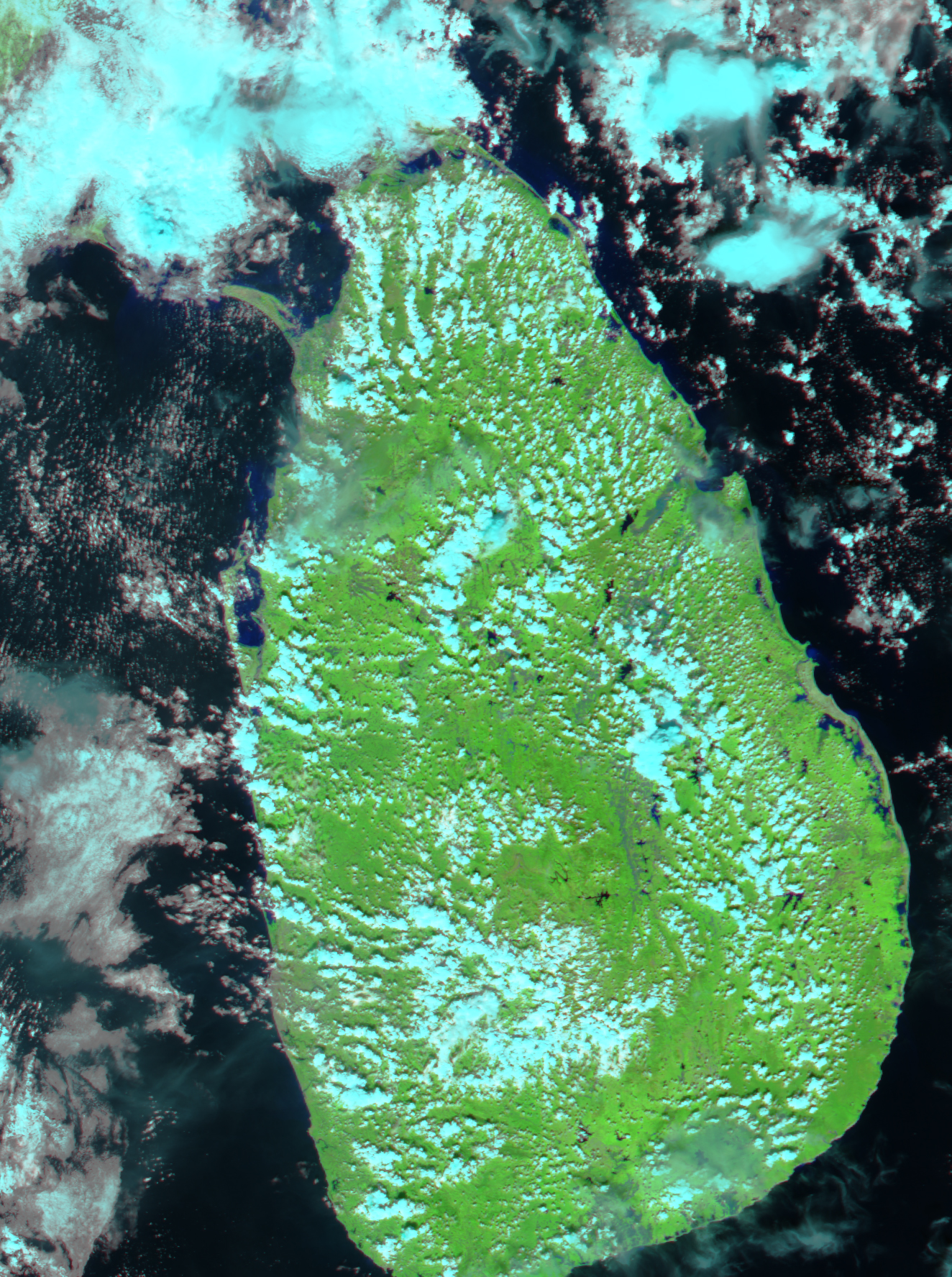
As winter’s chill cools the Asian landmass, air is drawn southwest toward the moist, warm air over the Indian Ocean. The result is the northeast monsoon, which brings heavy rain to the southeastern tip of India and the island nation of Sri Lanka to its east. December and January’s rains often trigger floods. This year, floods have displaced over 120,000 along the Sri Lanka’s eastern coast. Over a million acres of paddy fields and agricultural land have been inundated. The worst affected areas are shown in this false-color image, acquired on December 19, 2004. Here, sediment-laden flood waters are blue, clear water is black, and vegetation is bright green. Clouds are light blue and white. In comparison to an image of the area taken on December 1, before the rains began, the Mahaweli River, flowing northeast from the island’s interior to the Indian Ocean, is swollen. The series of lakes that line the east coast are also much larger than normal, and it is from this coastal area that thousands have fled.
References & Resources
NASA images created by Jesse Allen, Earth Observatory, using data obtained from the Goddard Land Processes DAAC and the MODIS Rapid Response team.


