


![Request for Information – Potential [Placeholder for Prize]](https://assets.science.nasa.gov/dynamicimage/assets/science/psd/solar/2023/09/s/solarsystem_0.jpg?w=1024)


- January 29, 2006 (4.13 MB)
- January 8, 2006 (3.23 MB)
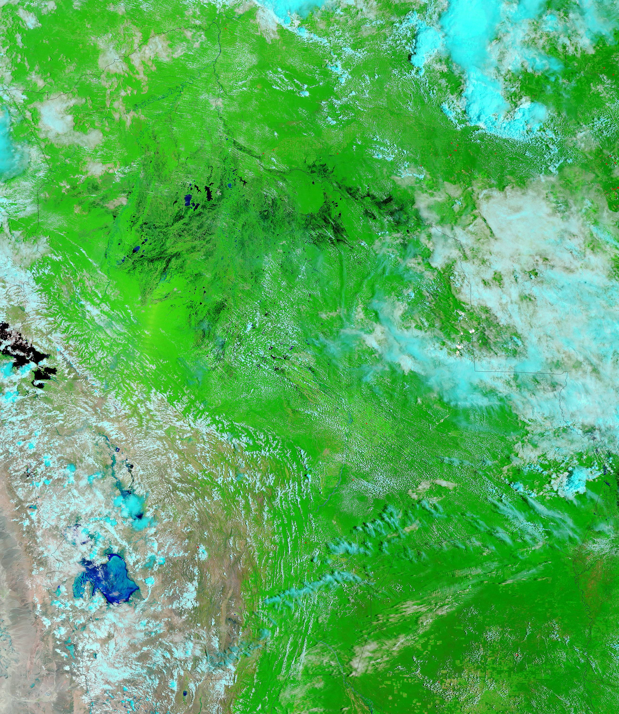
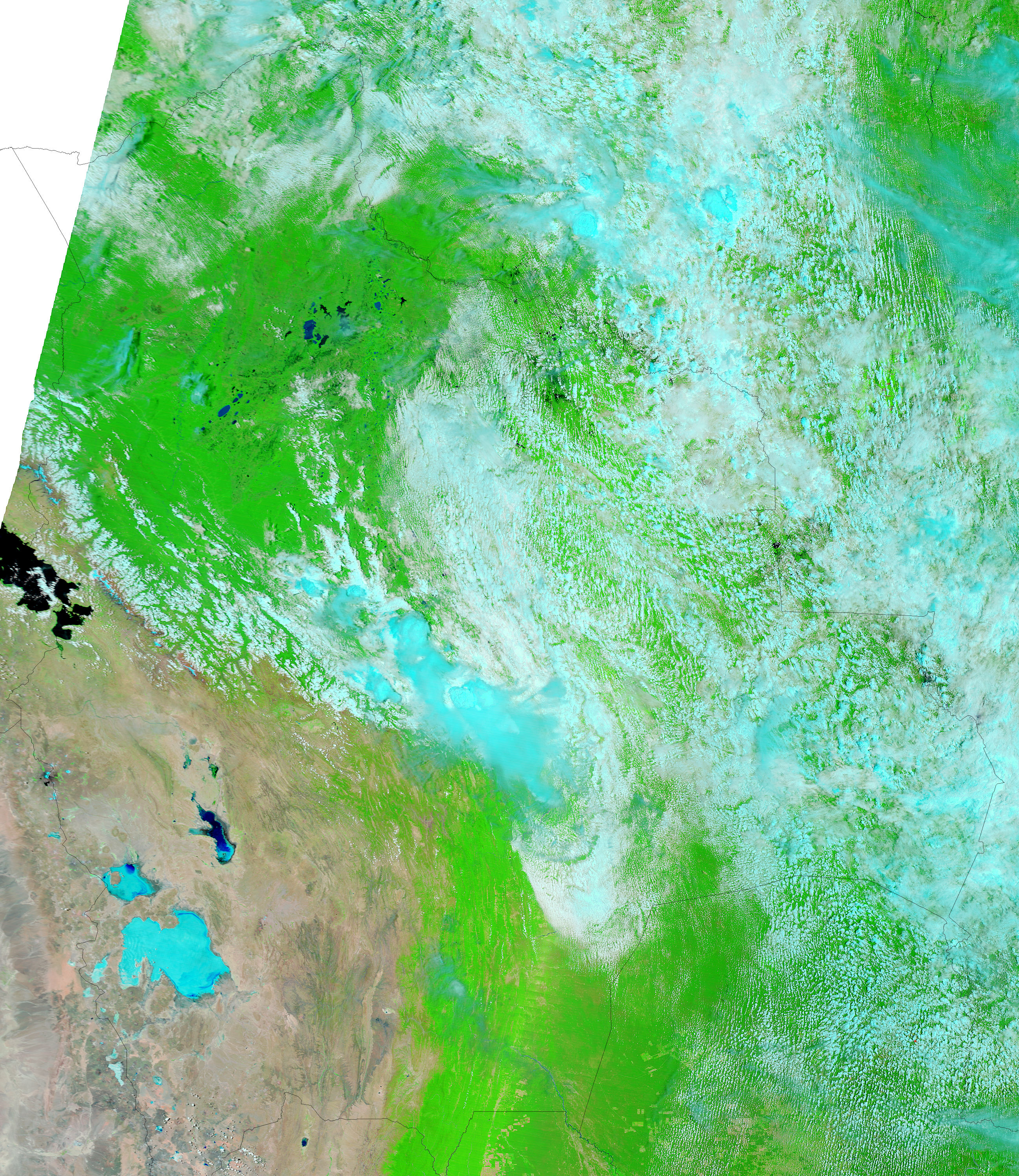
A week of strong thunderstorms in late January 2006 caused widespread destruction across Bolivia. The heavy rains triggered floods, which were clearly visible when the clouds cleared on January 29, to give the Moderate Resolution Imaging Spectroradiometer (MODIS) on NASA’s Terra satellite this view. In the three weeks that elapsed between January 8, when the bottom image was taken, and January 29, when the top image was acquired, the network of rivers and wetlands in central Bolivia filled with water. Water is black or dark blue in these images. According to news reports, 800 families were stranded or lost their homes in the region shown in this image. The area shown here was the most severely impacted, but flooding occurred throughout the South American nation.
The large images provided above have a resolution of 500 meters per pixel. Daily images are available in additional resolutions, including MODIS’ maximum resolution of 250 meters per pixel, from the MODIS Rapid Response Team.
References & Resources
NASA images courtesy the MODIS Rapid Response Team at NASA GSFC.


