


- September 6, 2007 (4.28 MB JPG)
- September 1, 2007 (4.49 MB JPG)
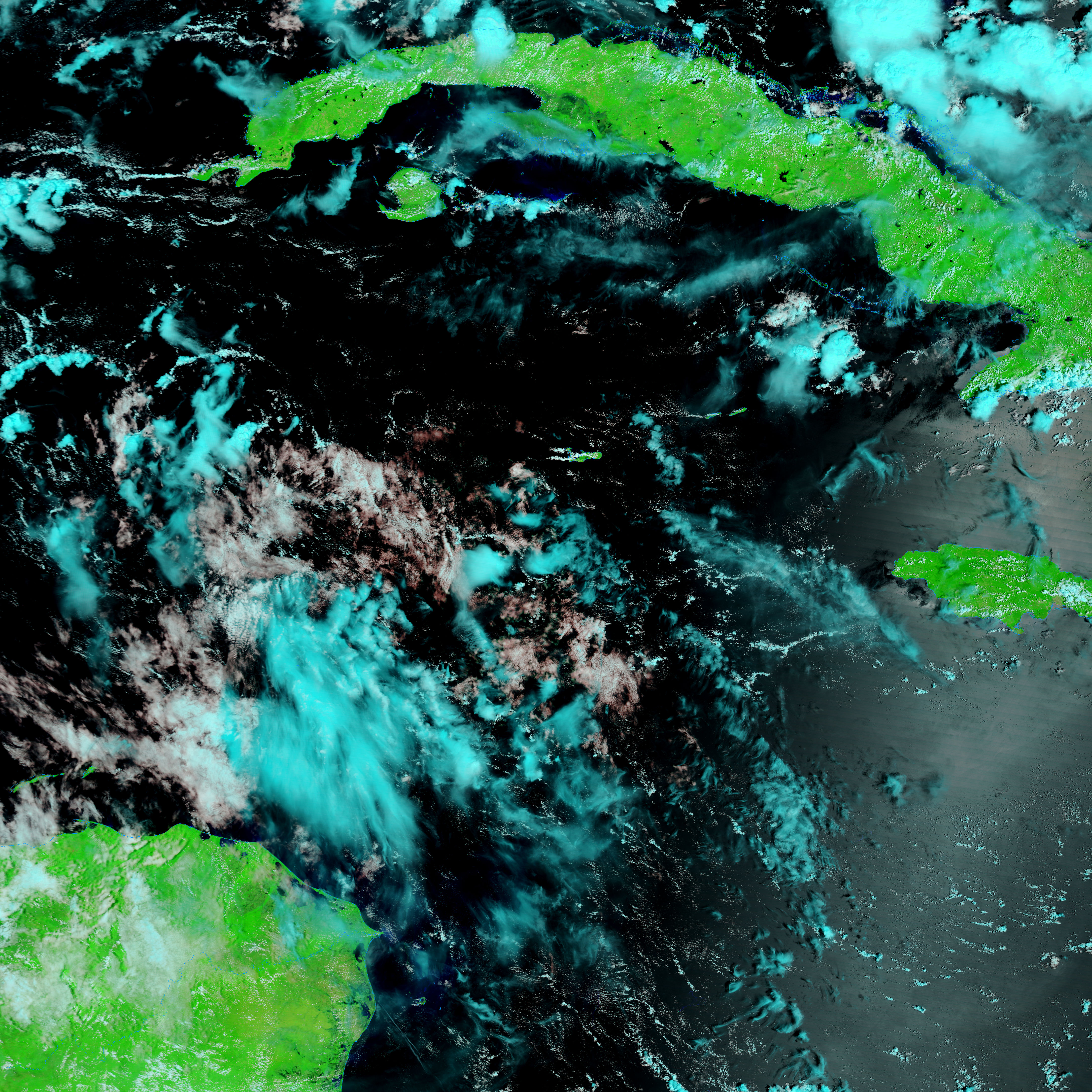
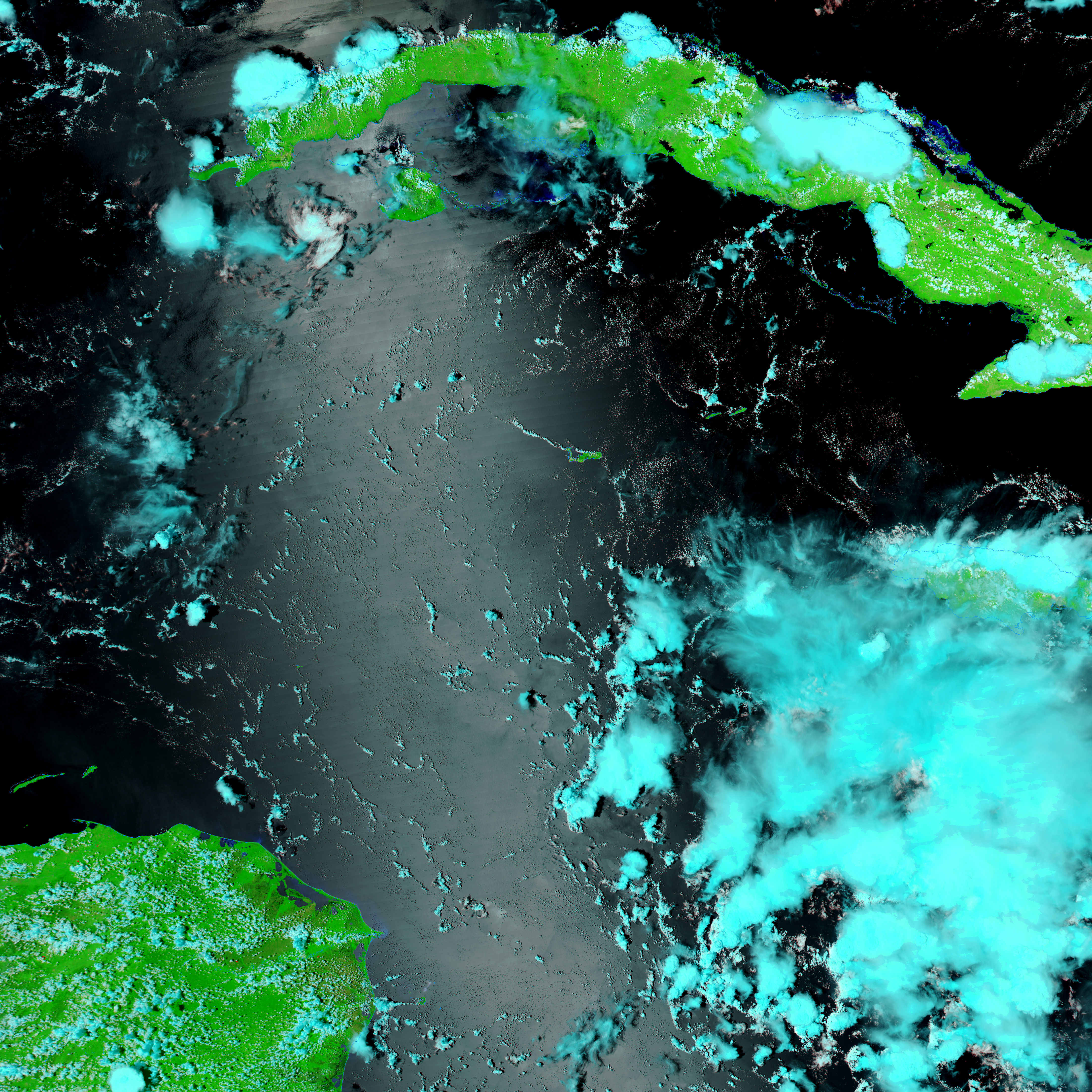
Hurricane Felix came ashore over northern Guatemala as a rare and powerful Category 5 hurricane on September 4, 2007. The storm brought high winds, heavy rains, and a strong storm surge as it made landfall. Some of the impact of the storm is evident in the left image, captured by the Moderate Resolution Imaging Spectroradiometer (MODIS) on NASA’s Terra satellite on September 6. Aqua MODIS captured the right image a few days before the storm came ashore.
In these images, water is black and clouds are pale blue and white. Called the Mosquito Coast, the stretch of the Nicaraguan coast shown here is composed of wetlands. On September 6, the wetlands were dark with large pools of water from Felix’s rainfall and storm surge. Rivers and streams in the region are also notably swollen compared to conditions on September 1.
In addition to the flooding shown here, Hurricane Felix caused extensive damage in both Nicaragua and Honduras. As of September 7, at least 130 people were reported dead in Nicaragua, reported Reuters.
References & Resources
NASA image courtesy the MODIS Rapid Response Team at NASA GSFC, which provides daily images of Central America.


