

March 16, 2005
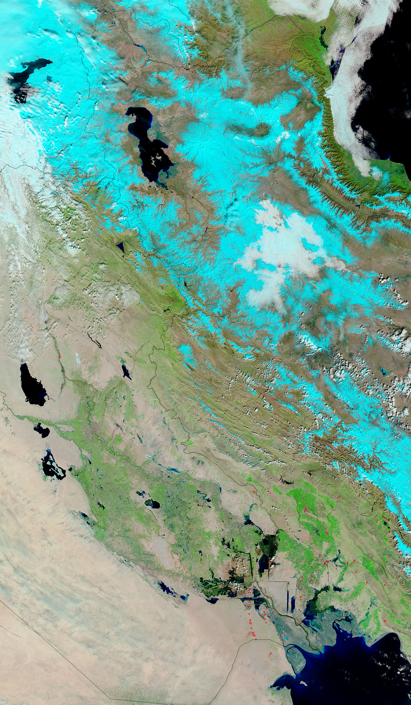
- February 27, 2005 (1.38 Mb)
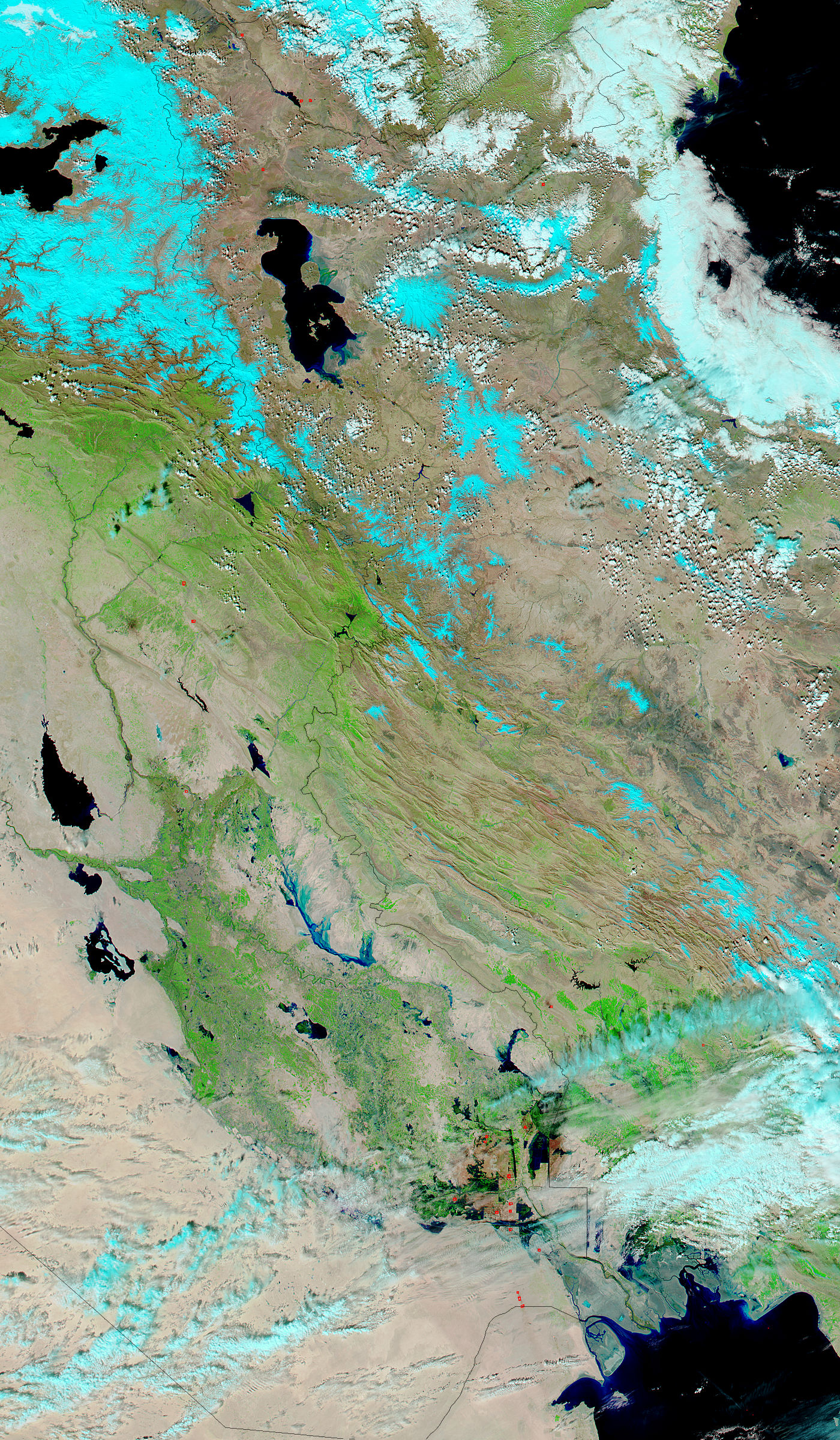
- March 16, 2005 (1.51 Mb)
The Tigris River winds its way from its birthplace in the mountains of eastern Turkey through Iraq to the Shatt al Arab and the Persian Gulf. Fed by mountain snow and rainfall, the river is prone to springtime flooding, and this year is no exception. On March 16, 2005, the Moderate Resolution Imaging Spectroradiometer (MODIS) on NASA's Aqua satellite captured the top image of floods along the Tigris River. The river, which cut a thin blue line across the Iraqi landscape on February 27, has swollen across its flood plain by March 16. The primary cause of these floods is heavy rainfall.
References & Resources
NASA images courtesy the MODIS Rapid Response Team at NASA GSFC. Both images are available in additional resolutions .
None