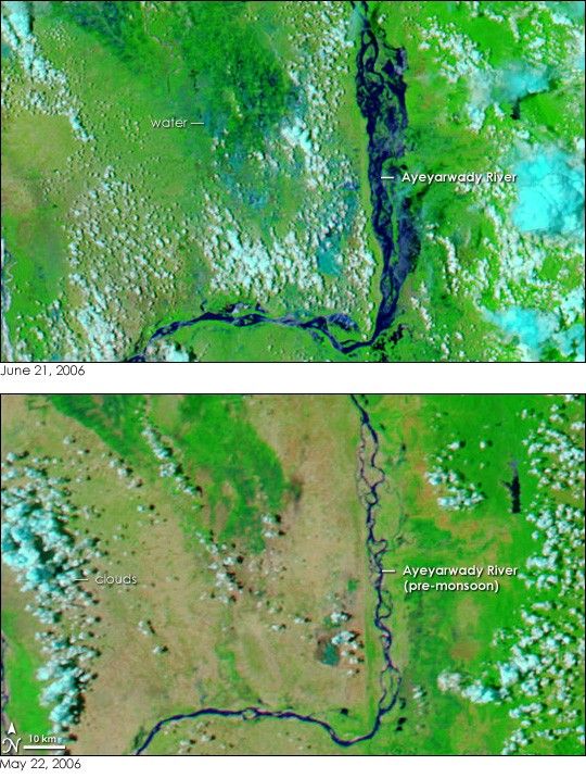
- June 21, 2006 (3.43 MB)
- May 22, 2006 (3.07 MB)
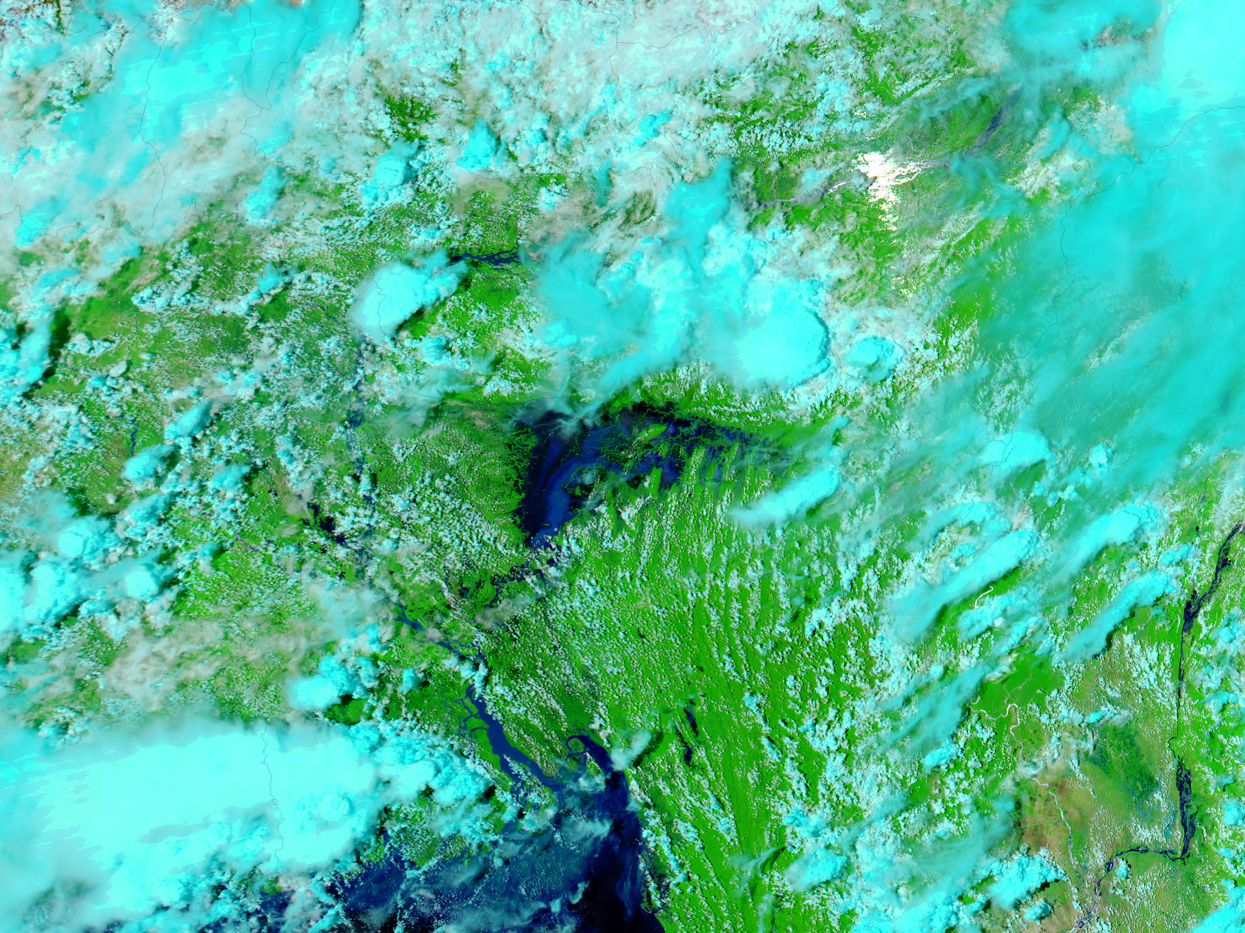
With the onset of monsoon rains, the Ayeyarwady River of Myanmar (Burma) more than doubled in size during June. The Moderate Resolution Imaging Spectroradiometer (MODIS) on NASA’s Aqua satellite captured the top image on June 21, 2006, nearly one month after the lower image was taken on May 22. By June 21, the winding shape of the river is concealed by the monsoon floods. In the large image, similar flooding is visible farther north. To the left of the river, flood water drenches the ground. The region around this stretch of the river is wetland, and the image may be showing normal rainy-season conditions for the wetland.
These images are shown in MODIS’ shortwave and near-infrared bands to highlight the presence of water. Clear water is dark blue or black, while sediment-laden water is lighter blue. Clouds are pale blue and white, plant-covered land is green, and bare earth is tan. The large images provided above have a resolution (level of detail) of 250 meters per pixel. Daily images of the region are available from the MODIS Rapid Response Team in a variety of resolutions.
References & Resources
NASA images courtesy the MODIS Rapid Response Team at NASA GSFC.