


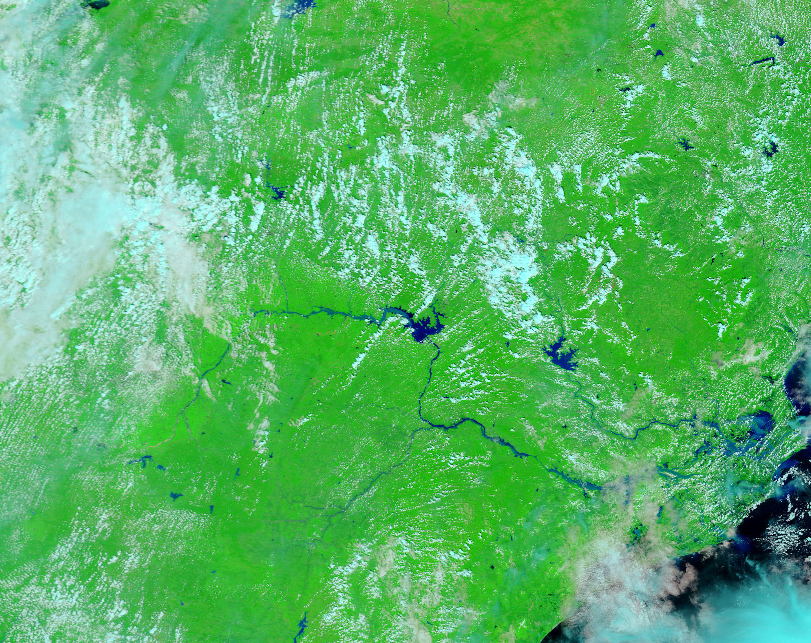
- September 20, 2008 (2.03 MB JPG)
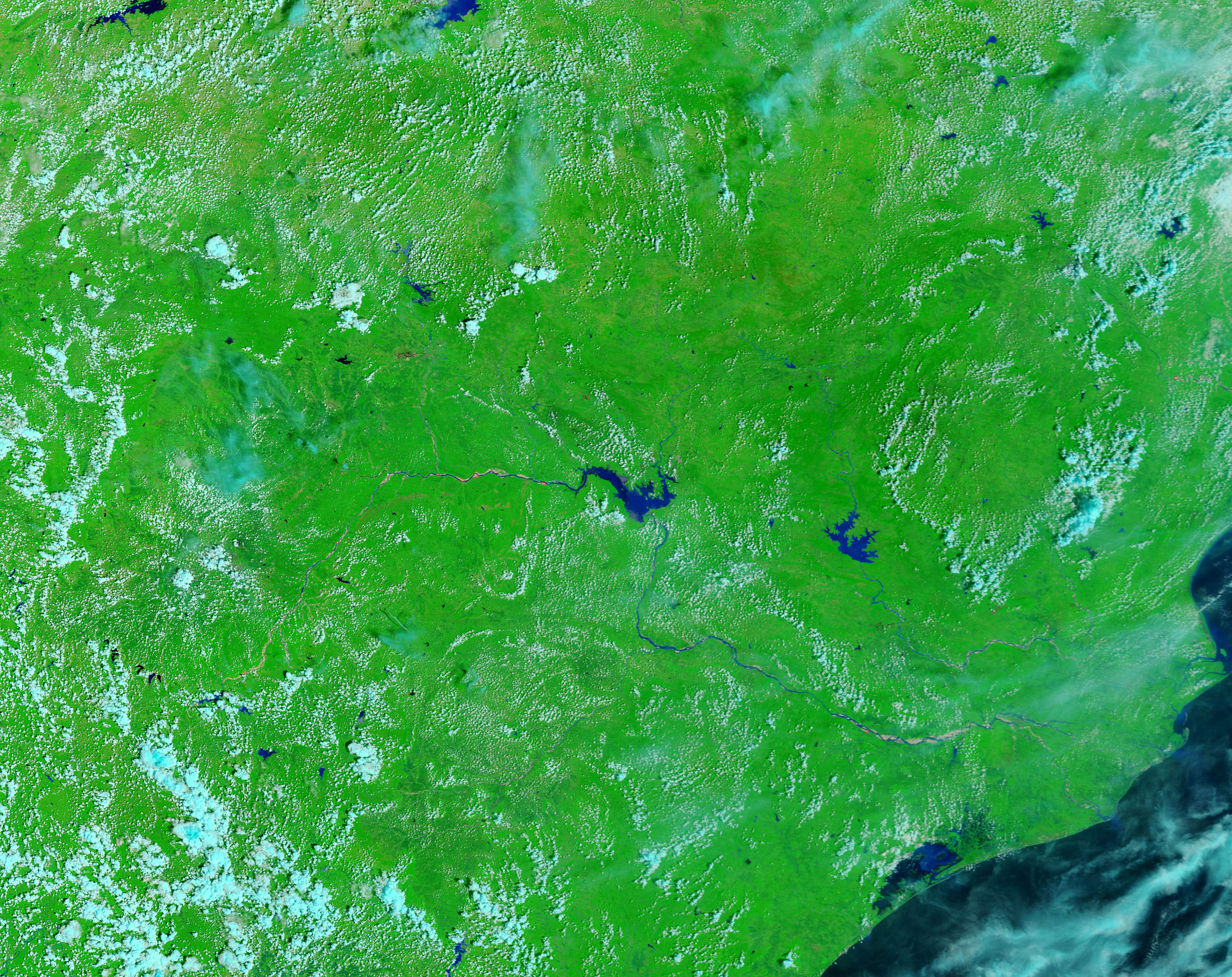
- September 7, 2008 (2.44 MB JPG)
Incessant rain pushed the Mahanadi River in the east Indian state of Orissa over it banks beginning on September 16, 2008. A tropical storm came ashore over the river on September 16, and monsoon rain continued to fall in the storm’s wake, taxing rivers throughout the state. By September 20, when the Moderate Resolution Imaging Spectroradiometer (MODIS) on NASA’s Terra satellite captured the top image, the worst of the flooding had reached the coast. Clear, deep water is black in these false-color images, which were made with infrared and visible light. Sediment lightens the color of the water to a pale blue. The surrounding plant-covered landscape is green, while clouds are turquoise and white.
Not only is the Mahanadi clearly swollen in this image, but its northern neighbor, the Brahmani is also flooded. In addition to covering land that had been dry on September 7 (lower image), the flood is pouring a thick plume of sediment into the Bay of Bengal. The sediment plume is pale blue in contrast to the black bay. The large image, which covers a wider area, shows additional flooding upstream on the Mahanadi.
With nearly 1,850 villages under water, officials called the floods the worst in 50 years, said BBC News. As of September 23, the floods had killed 29 and affected more than four million people and destroyed more than 400,000 hectares of paddy crop in Orissa, reported the Indo-Asia News Service.
References & Resources
- References
- BBC News. (2008, September 21). Death toll rises in Orissa floods. Accessed September 25, 2008.
- Indo Asia News Service. (2008, September 23). Orissa floods hit 400,000 hectares of paddy crop. Published on Yahoo! India News. Accessed September 25, 2008.
NASA images courtesy the MODIS Rapid Response Team at NASA GSFC. Caption by Holli Riebeek.


