


- December 4, 2005 (4.5 MB)
- November 18, 2005 (4.3 MB)
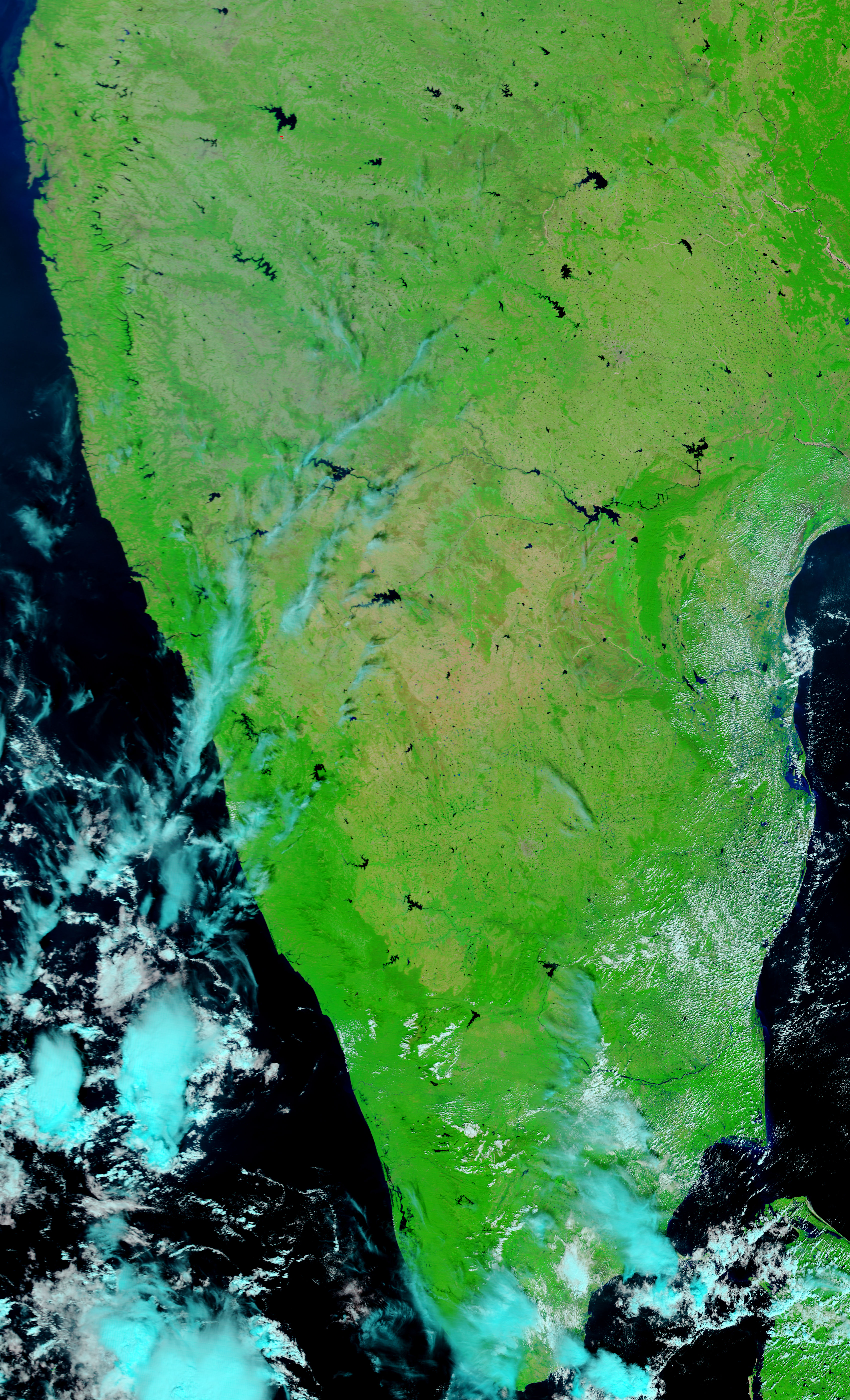
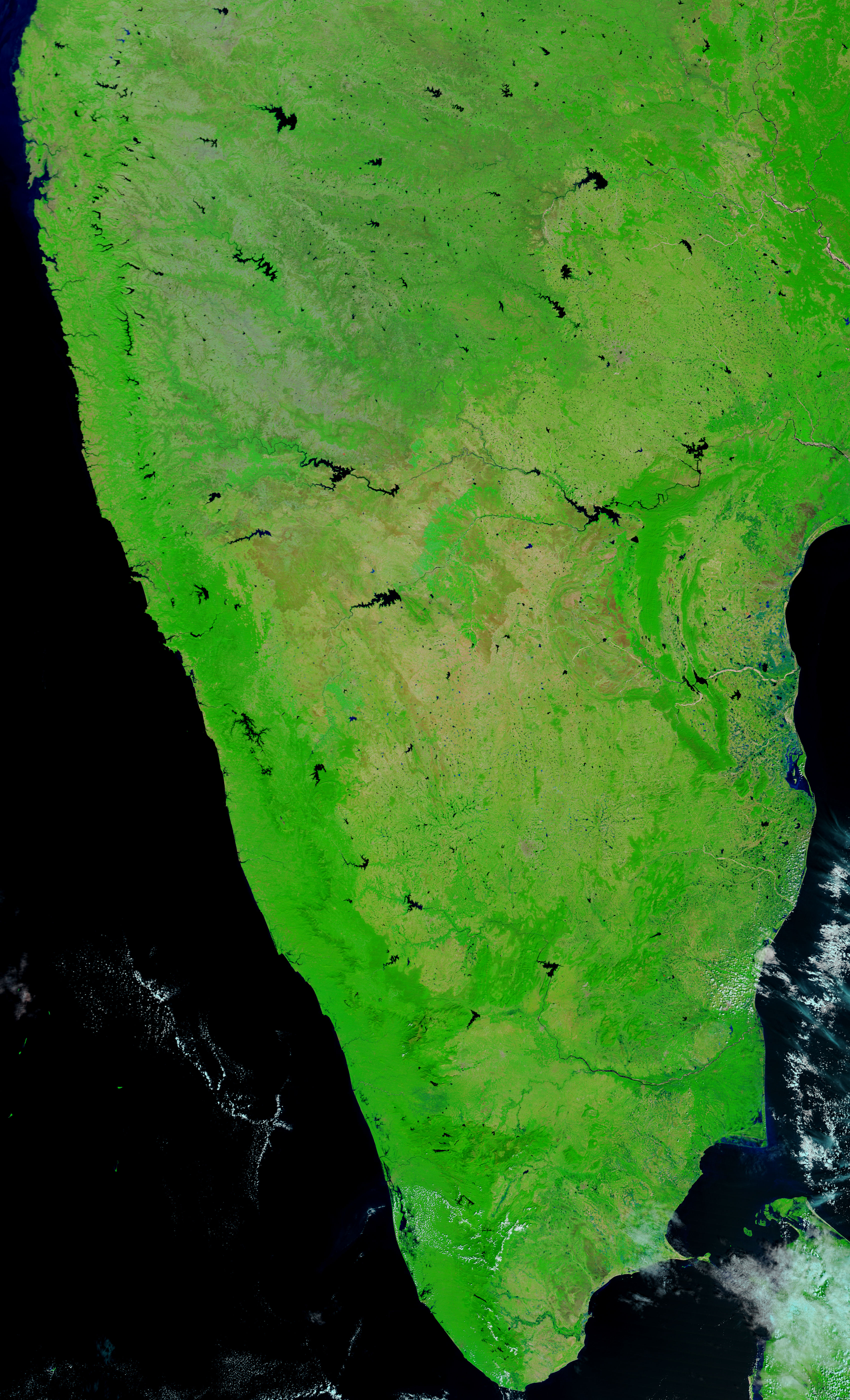
Already soggy from monsoon rains, India’s southeast coast flooded again when heavy rains soaked the region in early December 2005. New reports issued on December 5 say that 15 people died and 300,000 were evacuated in India’s Andhra Pradesh and Tamil Nadu states. The Moderate Resolution Imaging Spectroradiometer (MODIS) on NASA’s Terra satellite captured the top image of flooding in Andhra Pradesh on December 6, 2005. In the lower image, taken on November 18, 2005, blue water still covers much of the region from earlier floods, but flooding has worsened since November 18. Right of the center of the image is a wide blue pool of water that was not present in November. The Penner River, along the top of both images, has also grown. The river was a thin, meandering line within the wide tan strip of the river bed in November, but by December 6, it had swollen to a blue ribbon that filled far more of the river bed.
The MODIS Rapid Response Team provides daily images of southern India.
References & Resources
NASA images courtesy the MODIS Rapid Response Team at NASA GSFC.


