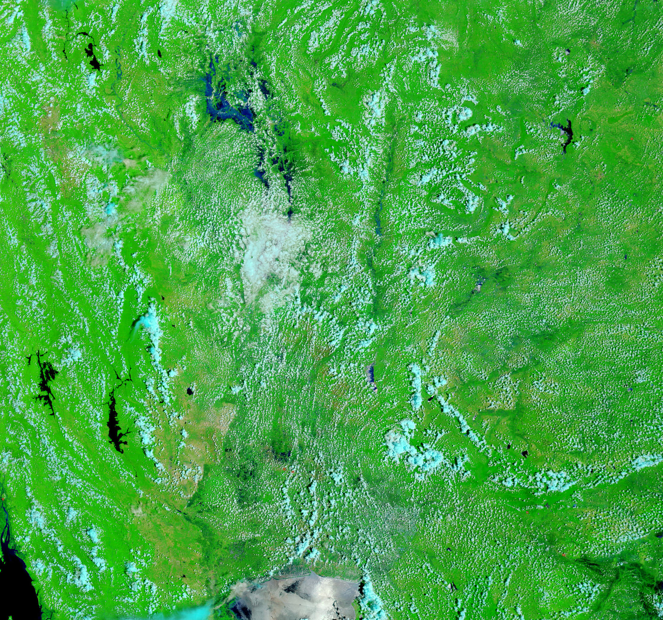



















- September 7, 2006 (2.02 MB)
- July 23, 2006 (1.14 MB)
Though floods are not unusual in Thailand during the summer monsoon season, 2006 brought unusually heavy flooding. In some parts of the country, the floods were the worst they had been in 40 years, said the Dartmouth Flood Observatory. The Moderate Resolution Imaging Spectroradiometer (MODIS) on NASA’s Terra satellite captured the top image of flooding around the cities of Pitsanulok and Phichit on September 7, 2006. The Yom and Nan Rivers were running high, and their surrounding wetlands were dark with water when compared with conditions earlier in the summer on July 23, lower image. In these images, water is dark blue, clouds are pale blue and white, and vegetation is bright green. Sparsely vegetated or bare land, such as cities, is tan. A photo-like, true-color version of these images is available from the MODIS Rapid Response Team.
References & Resources
NASA images courtesy the MODIS Rapid Response Team at NASA GSFC.