


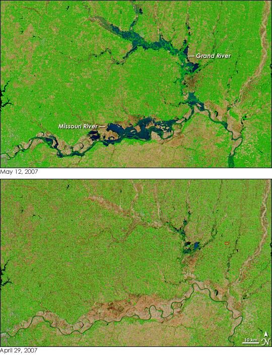
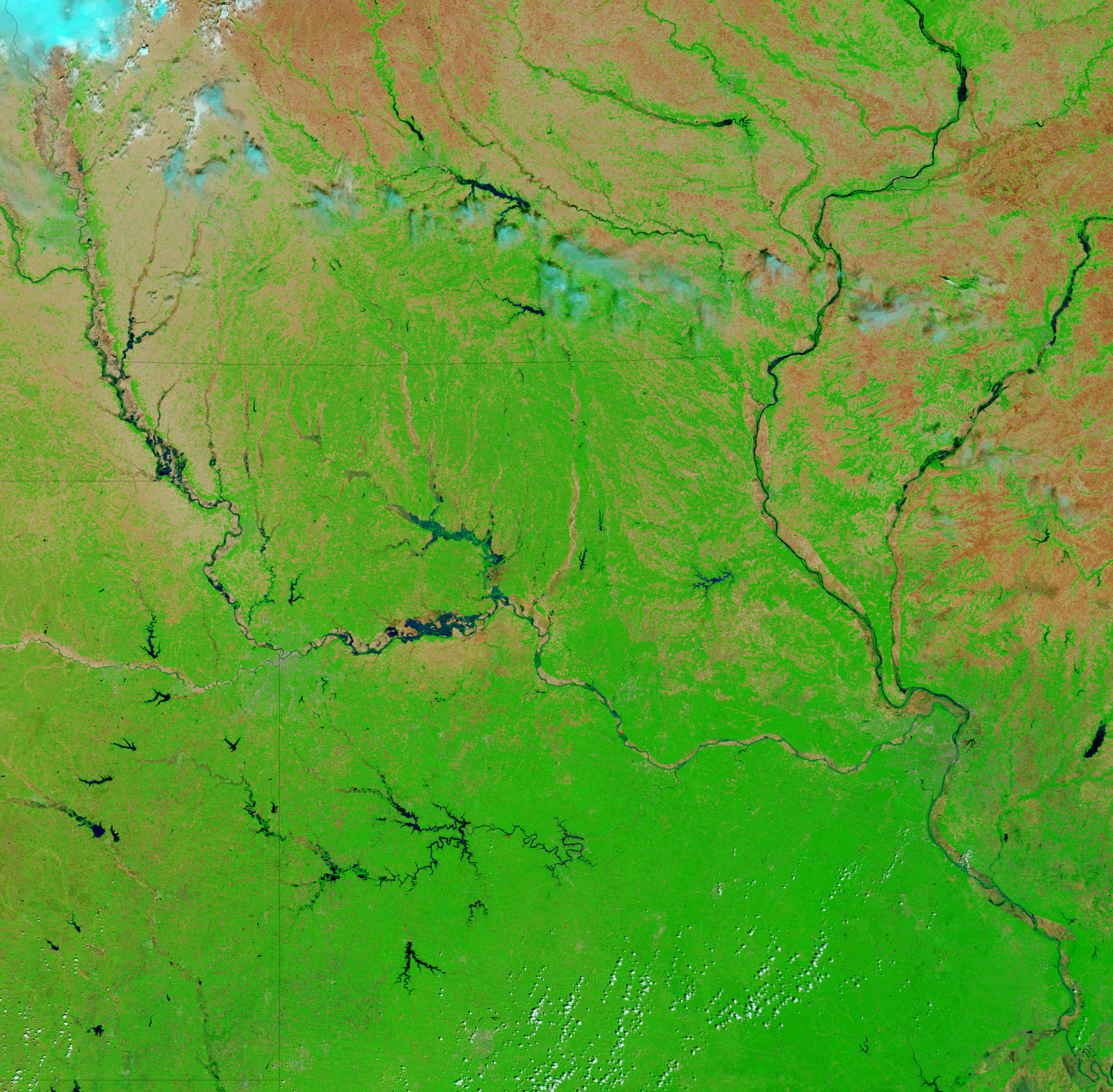
- May 12, 2007 (1.9 MB JPG)
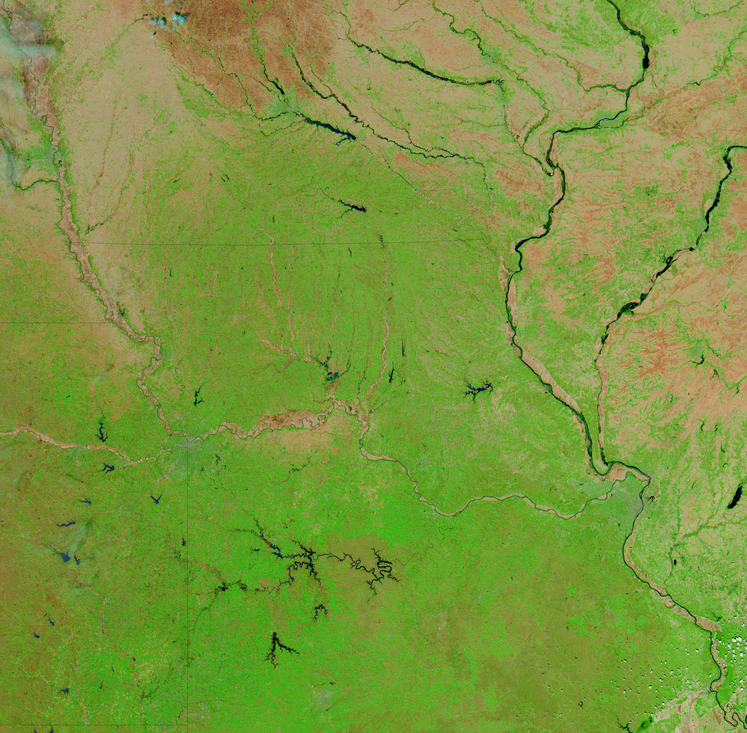
- April 29, 2007 (1.9 MB JPG)
After two weeks of clouds and rain, the Moderate Resolution Imaging Spectroradiometer (MODIS) on NASA’s Terra satellite captured its first clear view of floods in the Missouri River system on May 12, 2007. Though the floods had started to subside by this time, the Missouri and Grand Rivers still stretch kilometers over their banks. Subsequent images, taken on May 13 and May 14, reveal that the rivers are slowly returning to normal as water drains downstream. The lower image, taken on April 29, shows the rivers under normal conditions.
Both images use a combination of visible and infrared light to increase the contrast between mud-laden water and earth. In this type of image, water is dark blue or black. Tiny squares of plant-covered farmland are bright green, and sections of bare earth, such as the Missouri River’s wide flood plain, are tan-pink. A red box outlines a fire in the lower image. The rains that triggered the floods also spurred plant growth. By May 12, an intense green replaced many of the tan squares that were visible on April 29.
References & Resources
NASA images courtesy the MODIS Rapid Response Team at NASA GSFC.


