![Request for Information – Potential [Placeholder for Prize]](https://assets.science.nasa.gov/dynamicimage/assets/science/psd/solar/2023/09/s/solarsystem_0.jpg?w=1024)


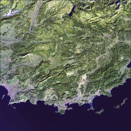
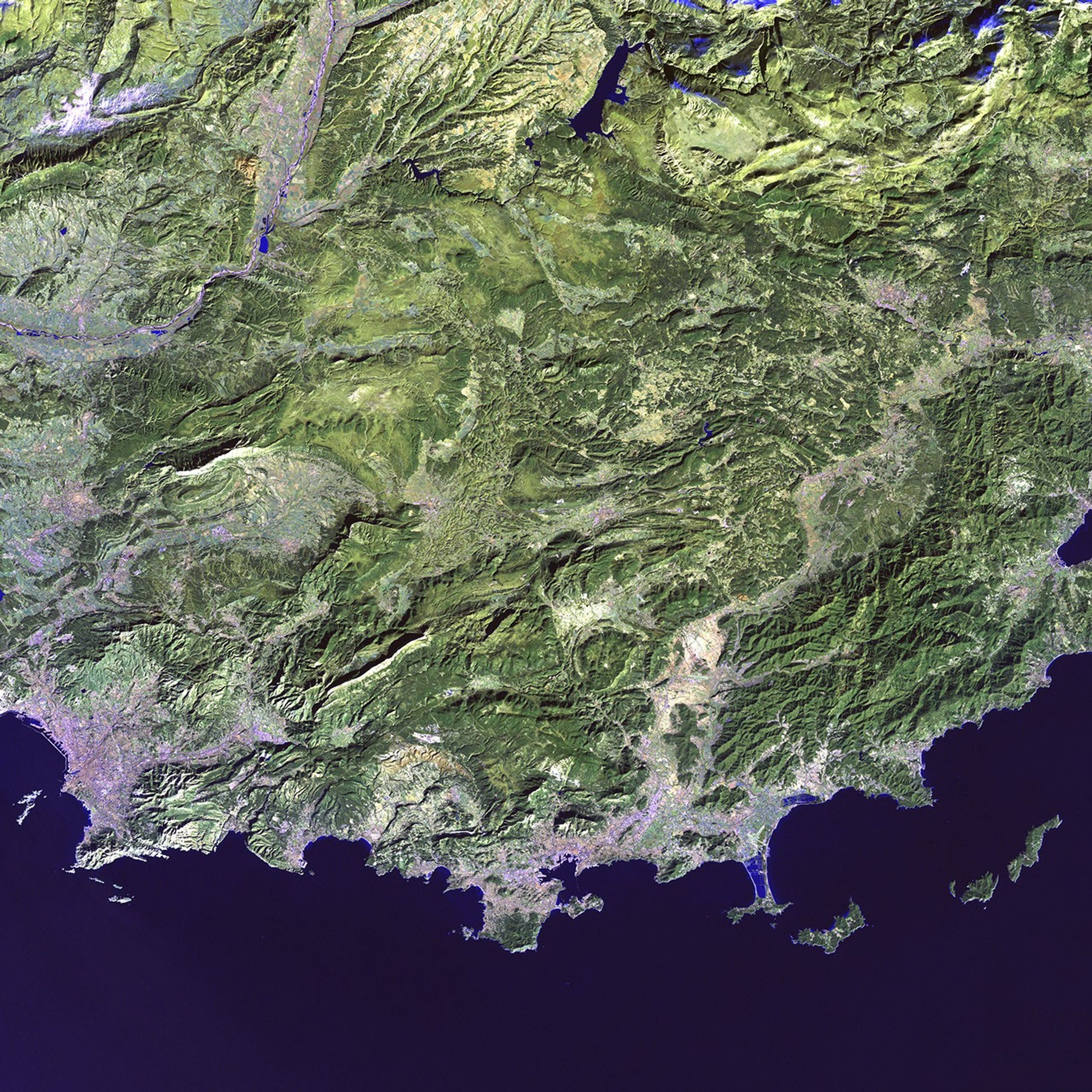
France’s famed Provence region meets the Mediterranean as a gentle curve,intricately sculpted into sheltered bays and fringing peninsulas. Theancient port of Marseilles, the country’s second largest city, nestlesin the large bay at the lower left of the image.
This image was acquired by Landsat 7’sEnhanced Thematic Mapper plus (ETM+) sensor.
References & Resources
Image provided by the USGS EROS Data Center Satellite Systems Branch as part of the Earth as Art II image series