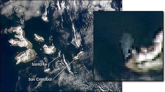
The Sea-viewing Wide Field-of-View Sensor (SeaWiFS) captured this viewof the Galapagos Islands on Sunday, 21 January 2001, several days aftera tanker ran aground off the western coast of San Cristobol Islandreleasing thousands of gallons of oil into the ocean creating a spillthat had grown from 50 to 117 square miles by the time this image was acquired.Aerial photographs show a large discolored patch in the waters that correspondto a feature seen in the SeaWIFS image.
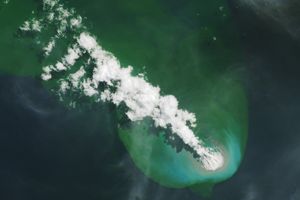
Two days later the slick had spread further, to a size of1,250 square kilometers (488 square miles), and reached the nearby island of Santa Fe.
References & Resources
Image provided by the SeaWiFS Project, NASA/Goddard Space Flight Center, and ORBIMAGE
None