July 11, 2016
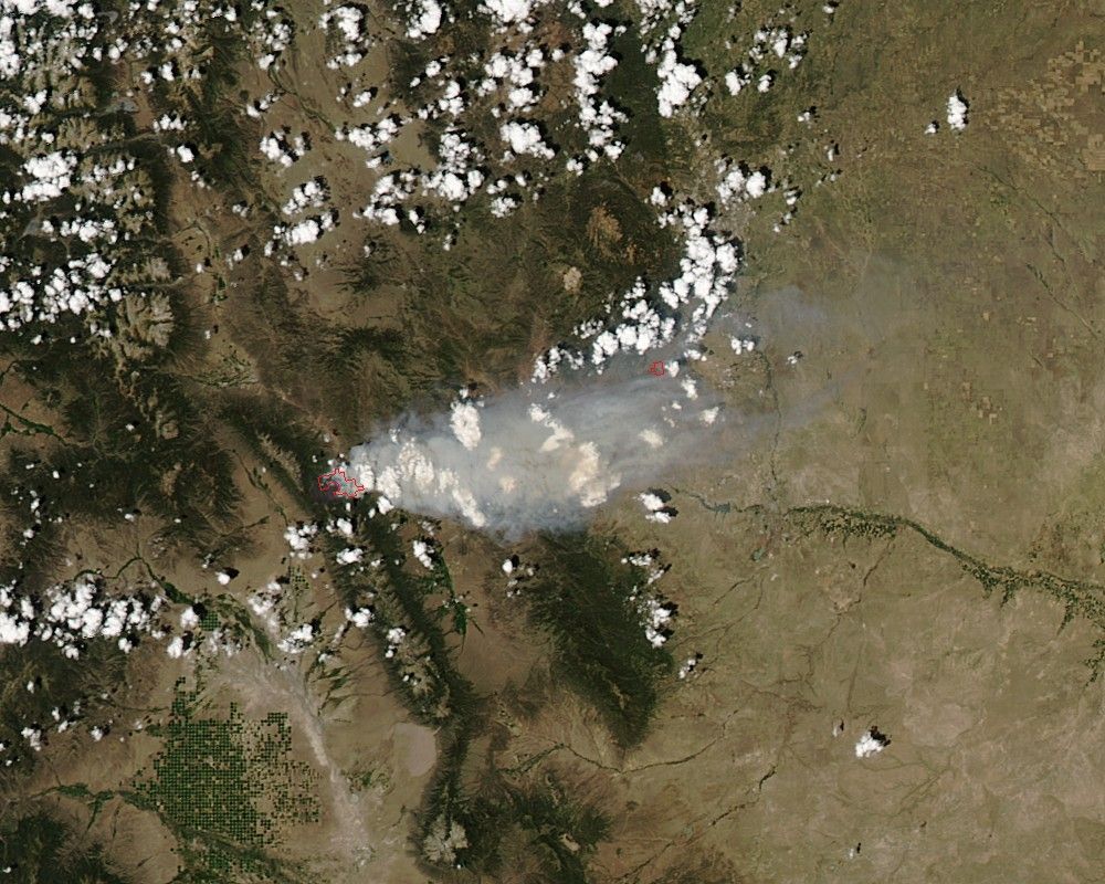
Colorado’s Hayden Pass Fire doubled in size on July 11, 2016, according to local news sources. The blaze spanned more than 12,000 acres when NASA satellites flew overhead.
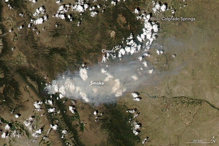
On July 12, 2016, the Moderate Resolution Imaging Spectroradiometer (MODIS) on NASA’s Aqua satellite acquired this natural-color image of the smoke plume near Colorado Springs, Colorado.
The Hayden Pass fire has forced the evacuation of more than 100 homes since it began on July 8. Fire officials said they expect the fire to spread toward the town of Coaldale. Nearby roadways have been closed, but so far, no structures have been lost to the fire, Colorado news station KKTV reported.
References & Resources
- KKTV - 11 News (2016, July 10) LIVE BLOG: Still No Containment on Hayden Pass Fire. Accessed July 12, 2016.
- KOAA 5 (2016, July 12) Officials: Hayden Pass Fire Could Reach Coaldale in 12-24 Hours. Accessed July 12, 2016.
NASA image by Jeff Schmaltz, LANCE/EOSDIS Rapid Response. Caption by Pola Lem.