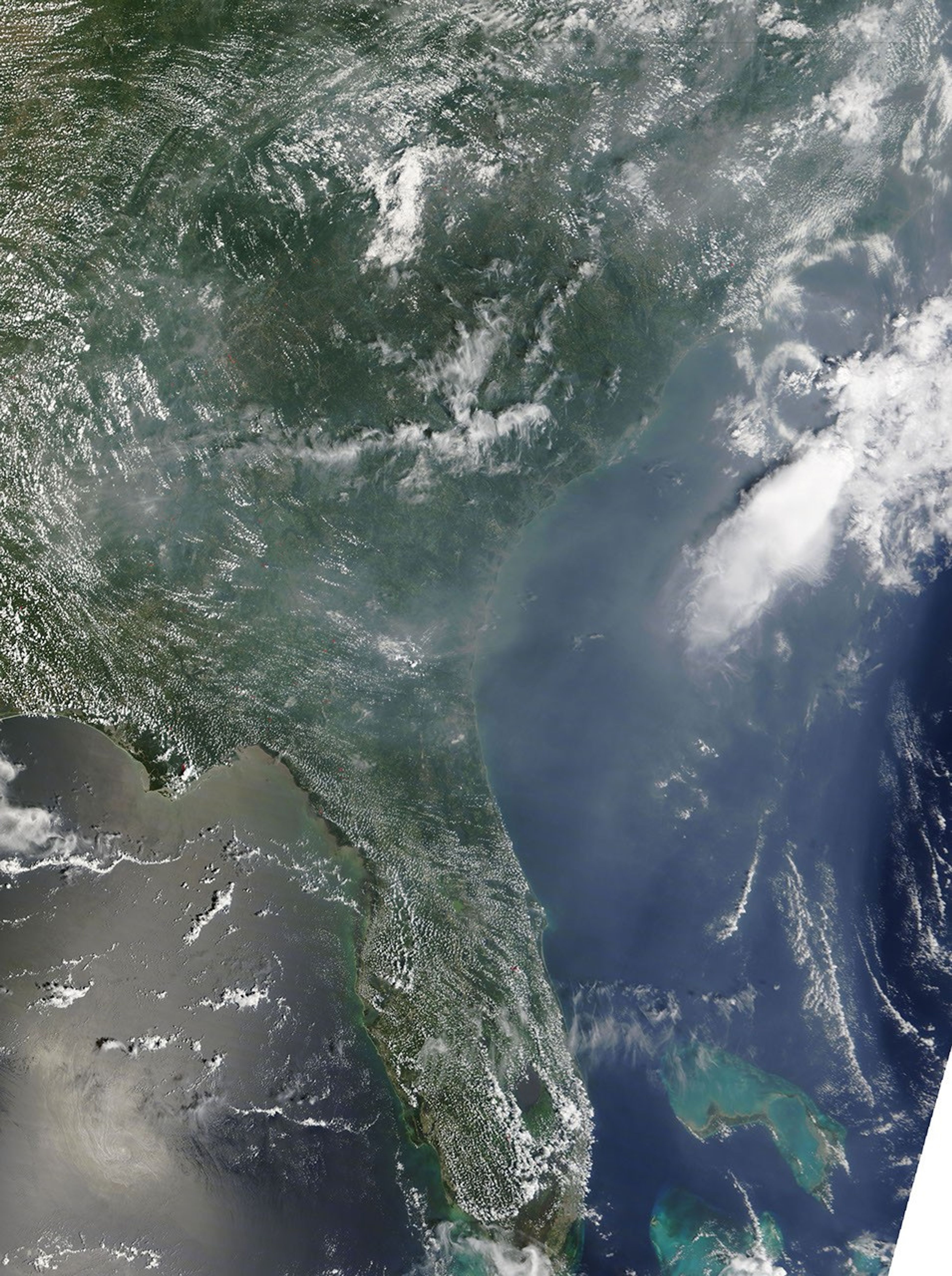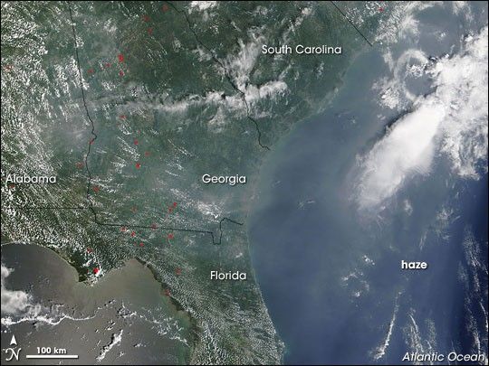
Haze collected off the coasts of South Carolina, Georgia, and Florida on August 6, 2007. The Moderate Resolution Imaging Spectroradiometer (MODIS) flying on NASA’s Terra satellite captured this image the same day. In this image, the haze appears as a blue-gray blur extending toward the Atlantic Ocean. Over land, the haze appears especially thick over Georgia. Although this image shows some wildfires, marked by red dots, the haze likely results from fires farther away, in the U.S. Northwest.
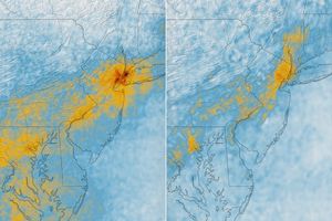
An August 6, 2007, posting on the U.S. Air Quality (Smog Blog) at the University of Maryland, Baltimore County, described poor air quality along the U.S. East Coast, and provided a map of aerosol optical depth measured by Geostationary Operational Environmental Satellites (GOES). Aerosol optical depth indicates how much sunlight is intercepted by tiny suspended particles of solid or liquid in the air column. In the same area where this haze appears, GOES showed high readings, confirming the presence of aerosols.
References & Resources
NASA image courtesy the MODIS Rapid Response Team at NASA GSFC.