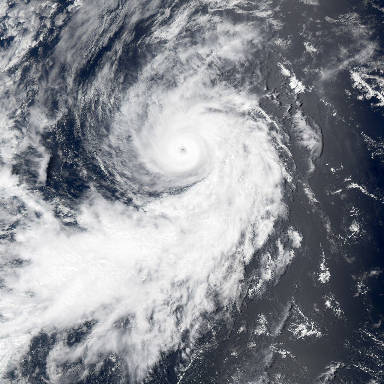
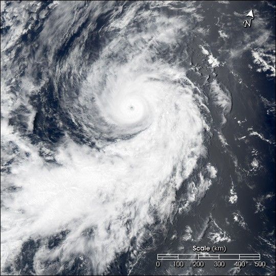
Suggested Searches

1 min read

Hurricane Darby

Instruments:
Hurricane Darby
July 28, 2004

The MODIS instument onboard NASA's Aqua satellite captured this tue-color image of a rapidly intensifying Hurricane Darby in the eastern Pacific Ocean. At the the time this image was taken Darby had maximum sustained winds 90 knots with higher gusts to 110 knots. Darby was moving towards the west-northwest at 11 knots and had a minimum central pressure of 970 millibars. Darby has a well-defined eye surrounded by a central dense overcast and cloud banding features. The image is available from the MODIS Rapid Response Team in multiple resolutions.

References & Resources

Image courtesy Jesse Allen, NASA's Earth Observatory.

You may also be interested in:

Stay up-to-date with the latest content from NASA as we explore the universe and discover more about our home planet.

Arctic Blast Brightened the West Florida Shelf
4 min read

A cold snap in the southern U.S. stirred up a dazzling display of sediment in coastal waters.

Article
A Plume of Bright Blue in Melissa’s Wake
5 min read

The category 5 hurricane stirred up carbonate sediment near Jamaica in what scientists believe is the largest such event in…

Article
Hurricane Kiko Nears Hawaii
2 min read

The storm became a major hurricane while traversing the eastern Pacific but weakened as it approached the islands.

Article