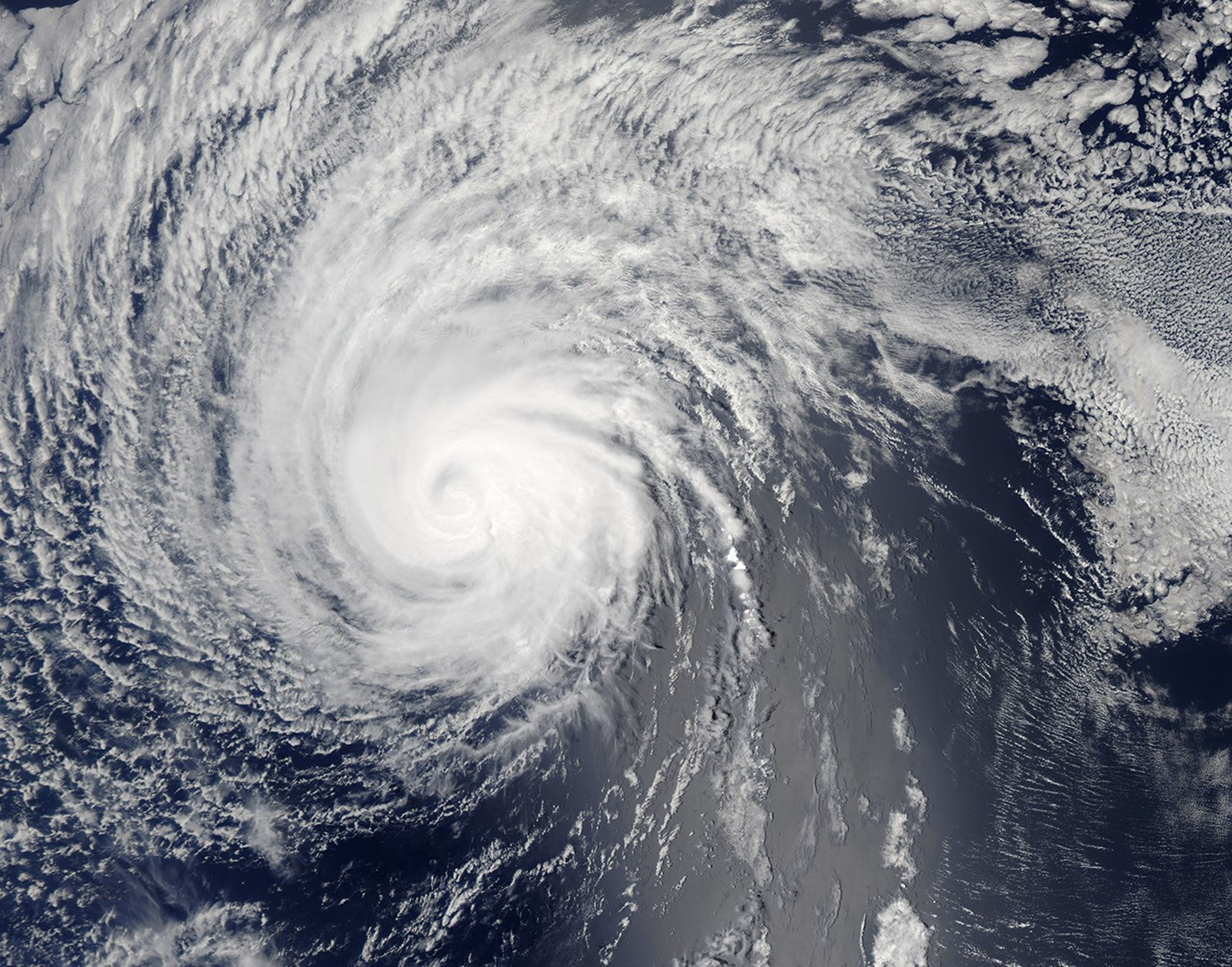
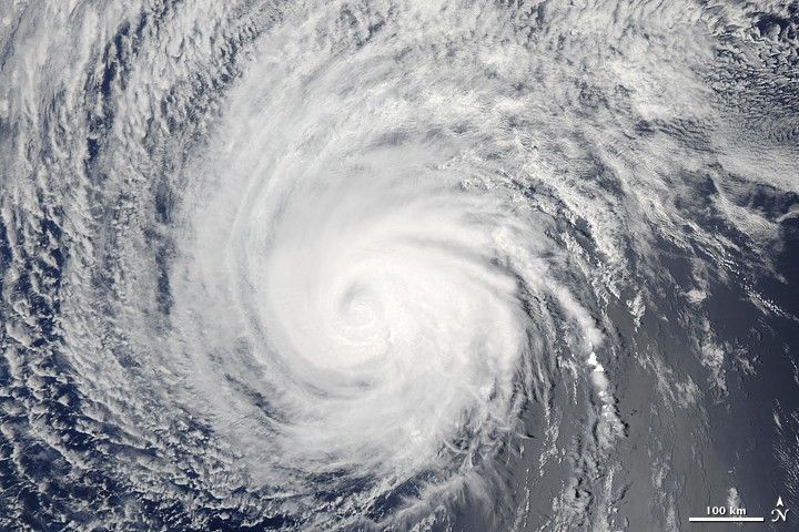
Though it was considerably weakened from its peak strength as a Category 4 hurricane, Felicia remained a strong Category 1 hurricane on August 8, 2009, when the Moderate Resolution Imaging Spectroradiometer (MODIS) on NASA’s Terra satellite captured this image. Sustained wind speeds were estimated to be 80 knots (92 mph), with gusts up to 100 knots. Compared to its appearance on August 5, the storm seemed less tightly wound, and the eye was larger and filled with clouds. Felicia was headed west, toward Hawaii.
The high-resolution image provided above is at MODIS’ full spatial resolution (level of detail) of 250 meters per pixel. The MODIS Rapid Response System provides this image at additional resolutions.
References & Resources
NASA image by Jeff Schmaltz, MODIS Rapid Response Team, Goddard Space Flight Center.