![Request for Information – Potential [Placeholder for Prize]](https://assets.science.nasa.gov/dynamicimage/assets/science/missions/a-step/FFR_Earth_Background_20251120%20.png?w=1024)


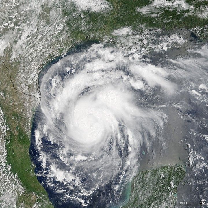
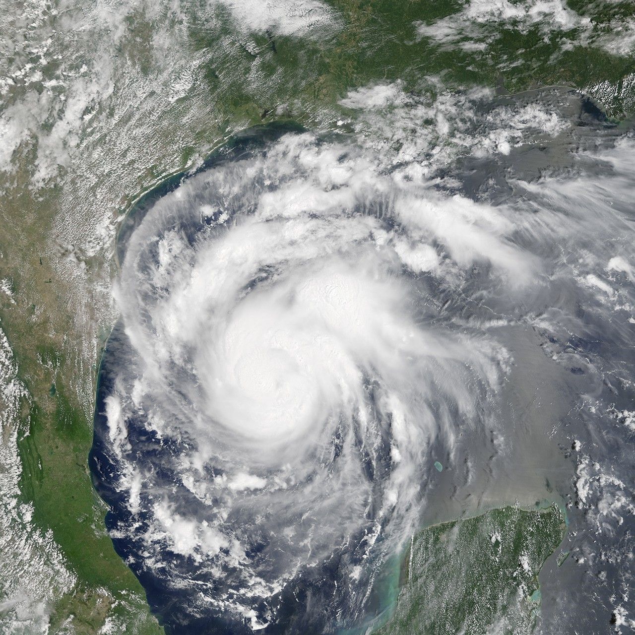
When Hurricane Harvey blows ashore over coastal Texas on Friday night, it will likely be the first major hurricane (category 3 or stronger) to make landfall in the United States since 2005. The Moderate Resolution Imaging Spectroradiometer (MODIS) on NASA’s Terra satellite captured this natural-color image of the rapidly intensifying storm at 11:24 a.m. Central Daylight Time (16:45 Universal Time) on August 24, 2017.
The National Hurricane Center expects Harvey to be a category 3 storm on the Saffir-Simpson scale—with winds exceeding 110 miles (180 kilometers) per hour—when it makes landfall. It will likely produce a storm surge of 6 to 12 feet (2 to 4 meters) and drop between 15 and 25 inches (38 and 63 centimeters) of rain in some areas—enough to produce life-threatening flash floods.
Further Reading
- NASA (2017) Harvey (was TD 09 - Atlantic Ocean). Accessed August 24, 2017.
- NASA Earth Observatory (2013, March 5) In a Warming World, Storms May Be Fewer but Stronger.
References & Resources
- National Hurricane Center (2017, August 24) Hurricane Harvey. Accessed August 24, 2017.
- National Weather Service (2017, August 24) Hurricane Local Statement. Accessed August 24, 2017.
NASA Earth Observatory image by Jesse Allen, using data from the Land Atmosphere Near real-time Capability for EOS (LANCE). Caption by Adam Voiland.