Suggested Searches

1 min read

Hurricane Ivan

Instruments:
2004-09-09 00:00:00
September 9, 2004

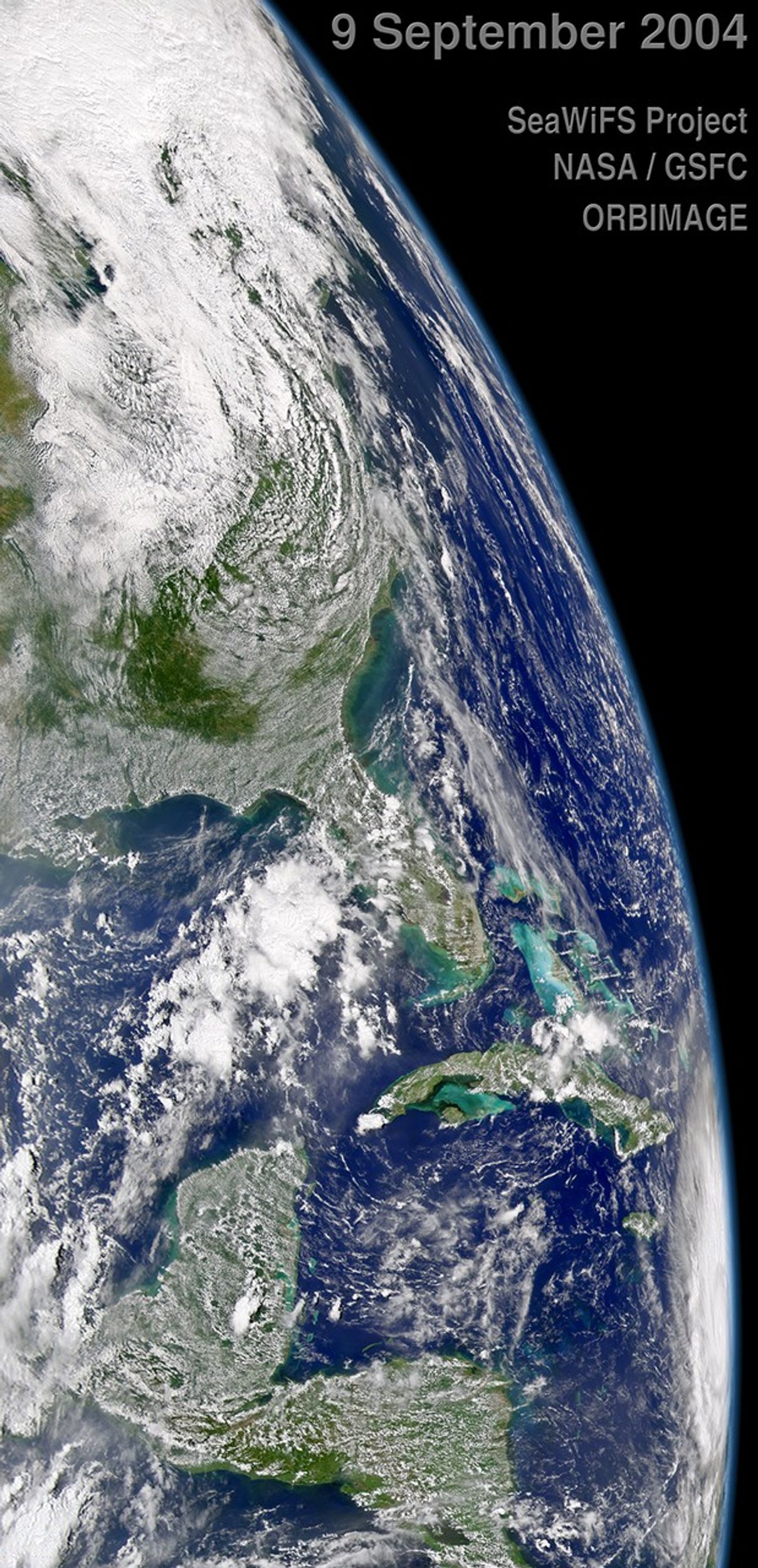
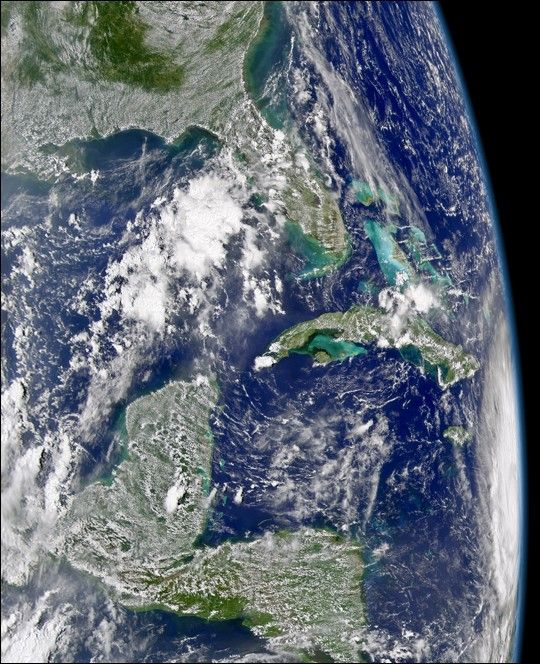
The SeaWiFS sensor aboard the OrbView-2 satellite captured this true-color, oblique view of Hurricane Ivan on September 9, 2004 at 18:00 UTC (2:00 PM EDT). At the time this image was taken Ivan was located 580 km (360 miles) southeast of Kingston, Jamaica and was moving towards the west-northwest at 24 km/hr (15 mph). Maximum sustained winds were near 260 km/hr (160 mph) making Ivan a Category 5 storm on the Saffir/Simpson Scale.

References & Resources

Image provided by the SeaWiFS Project, NASA/Goddard Space Flight Center, and ORBIMAGE

You may also be interested in:

Stay up-to-date with the latest content from NASA as we explore the universe and discover more about our home planet.

Hurricane Erin Roils in the Atlantic
3 min read

The major hurricane steered clear of land but delivered tropical storm conditions to coastal areas along its path.

Article
Hurricane Kiko Nears Hawaii
2 min read

The storm became a major hurricane while traversing the eastern Pacific but weakened as it approached the islands.

Article
Imelda and Humberto Crowd the Atlantic
3 min read

The tropical cyclones are close enough in proximity that they may influence one another.

Article