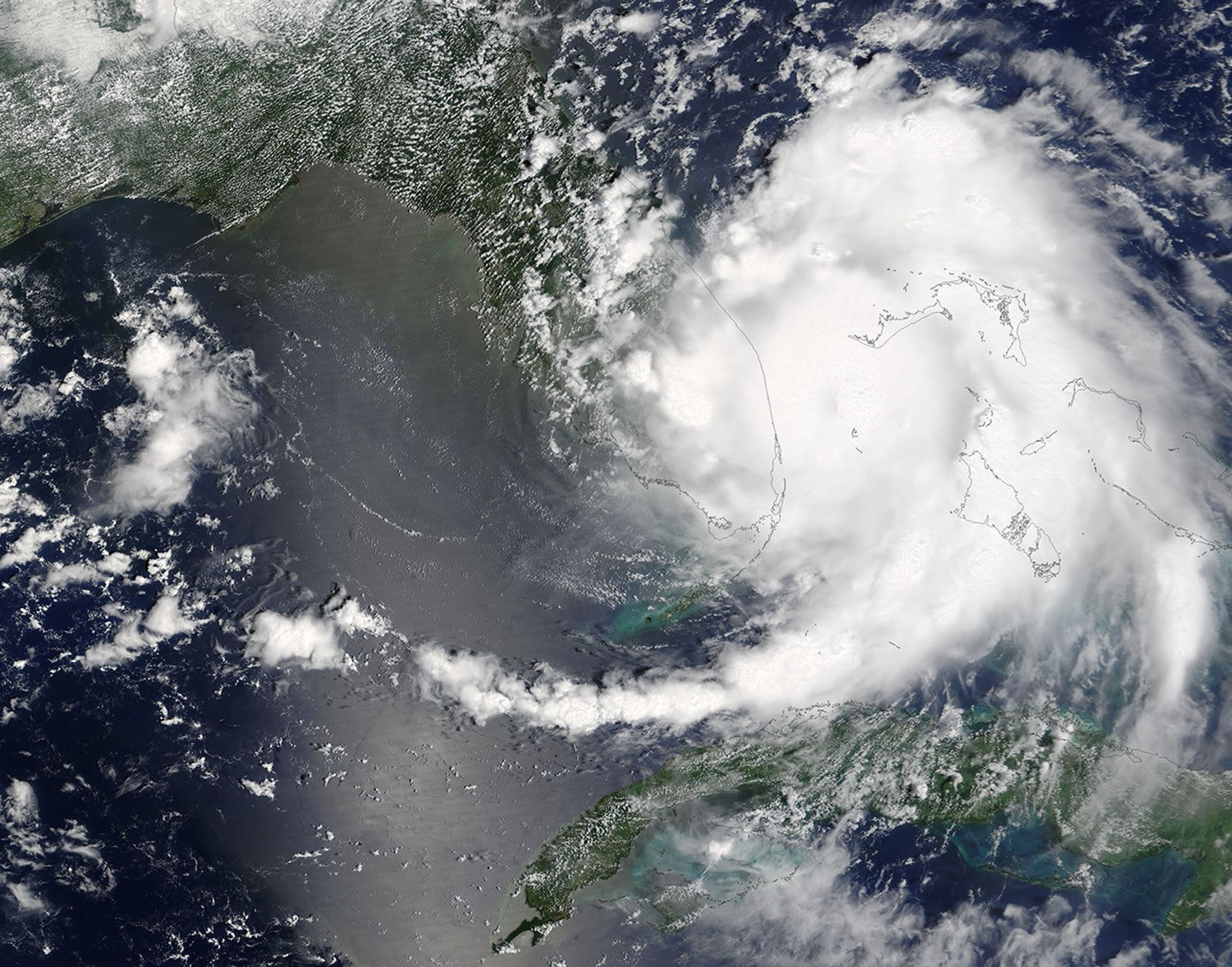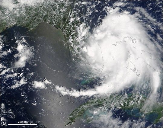
Hurricane Katrina had just become a category 1 hurricane when the Moderate ResolutionImaging Spectroradiometer (MODIS) on NASA’s Terra satellite captured this image on August 25, 2005, at 12:30 p.m., Eastern Daylight Savings Time. The hurricane formed as a tropical depression late on August 23 and developed quickly into a tropical storm by 11 a.m. the next morning. By the time MODIS acquired this image, the storm had developed into a category 1 hurricane, the lowest category in the hurricane-strength scale. Katrina had winds of 120 kilometers per hour (75 miles per hour).
A more serious danger is Katrina’s rains. The storm was moving quite slowly as of August 26, just 10 km/hr (6 mph). This means that Katrina’s heavy rains willlinger longer over one area, dumping 15-25 centimeters (6-10inches) of rain over Florida and the Bahamas and possibly up to 38cm (15 inches) in some regions, the National Hurricane Centerwarns.
For more information about the storm, please visit the National Hurricane Center. Thisimage is available in multiple resolutions from the MODIS Rapid Response Team.
References & Resources
NASA image courtesy Jeff Schmaltz, MODIS Land Rapid Response Team at NASA GSFC