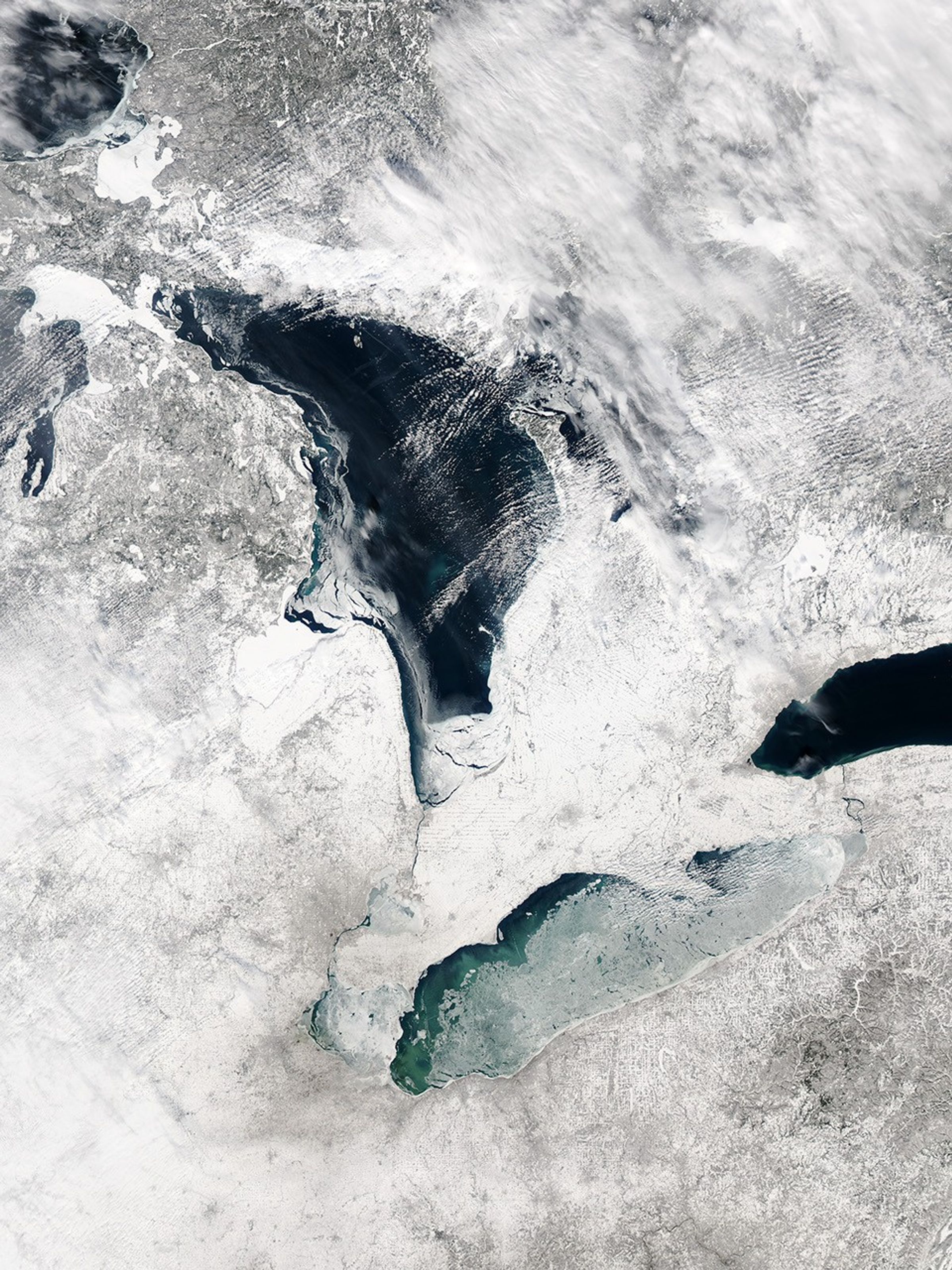
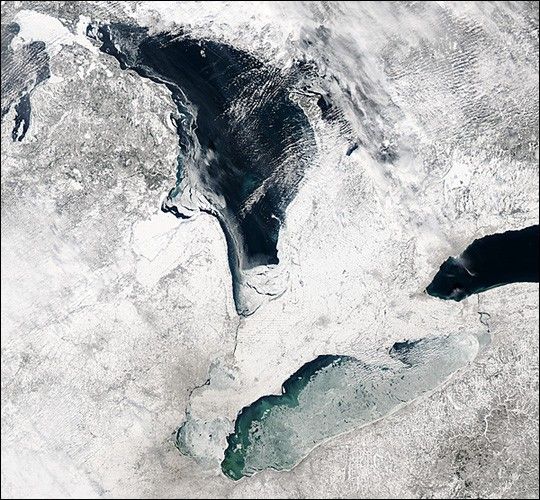
It is not unusual for the surface of Lake Erie to be covered by ice this time of year. This true-color image was taken on February 8, 2004, by the Moderate Resolution Imaging Spectroradiometer (MODIS) aboard NASA’s Terra satellite. The scene shows ice covers most of Lake Erie, with the exception of a long narrow swath of surface water visible along its northern coastline. The opening in the ice reveals light blue and turquoise patterns in the water, probably the result of sediments. Ice has also formed along most of the western coastline of Lake Huron, to the north. (This false-color image, produced using a different MODIS band combination, can help in distinguishing snow and ice from clouds.)
Thus far, the Great Lakes do not have as much ice cover this winter as compared to last winter. For comparison, refer to this MODIS image acquired on January 27, 2003.
References & Resources
Image courtesy Jacques Descloitres, MODIS Land Rapid Response Team at NASA GSFC