






Suggested Searches

1 min read

Kilimanjaro

Topics:
 

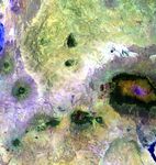
Portions of Kenya and Tanzania, Africa, can be seen in this image. The peak of Kilimanjarois on the right; the mountain is flanked by the plains of Amboseli National Park to the northand the rugged Arusha National Park to the south and west.

This image was acquired byLandsat 7’s Enhanced Thematic Mapper plus(ETM+) sensor on February 21, 2000. This is a false-color composite image made using shortwave infrared,infrared, and green wavelengths.

References & Resources

Image provided by the USGS EROS Data Center Satellite Systems Branch. This image is part of the ongoing Landsat Earth as Art series.
You may also be interested in:

Stay up-to-date with the latest content from NASA as we explore the universe and discover more about our home planet.

Minute Man National Historical Park
3 min read

Sites relevant to the start of the American Revolutionary War are interspersed throughout the modern-day Boston metropolitan region.

Article
Colonial National Historical Park
2 min read

The colonial communities of “America’s historic triangle” played defining roles in the road to American independence.

Article
Belts of Green in the Washington Suburbs
3 min read

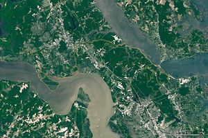
Along the northeast side of the Capital Beltway in Maryland, green spaces weave through the developed landscape.

Article