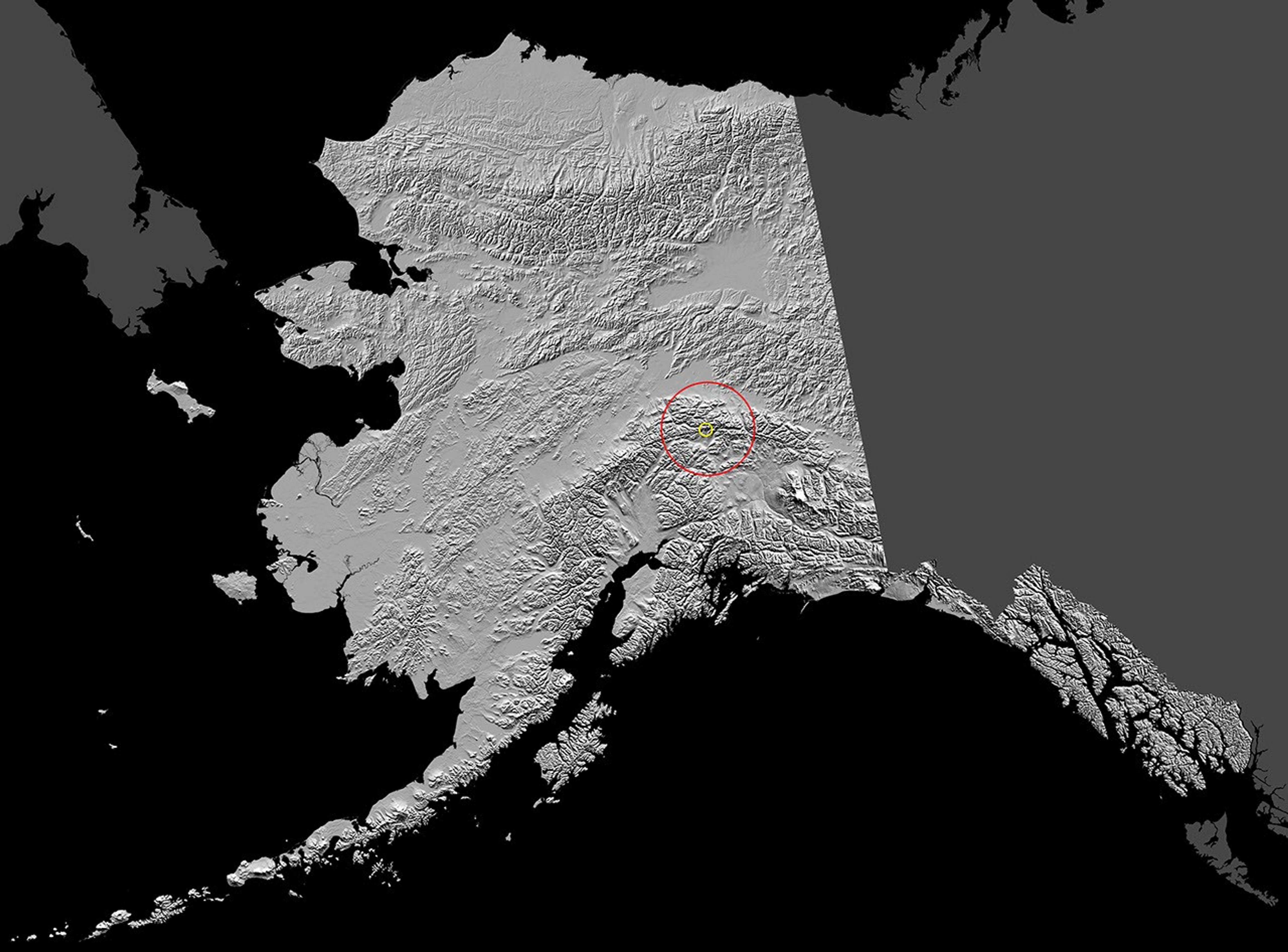
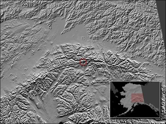
An intense earthquake struck central Alaska about 90 miles south of Fairbanks at 1:12 p.m. local time on November 3, 2002. With a magnitude of 7.9, the quake was the ninth largest to be recorded in the United States. The shaded-relief image above shows the location of the earthquake, which occurred on the Denali fault alongside the Alaska Range. The fault appears as a dark arch running across the image.
The powerful quake knocked sections of the trans-Alaska oil pipeline off its supports, cracked nearby roads, triggered smaller earthquakes in California and Montana, and even rocked houseboats in Louisiana lakes. A six mile stretch of the main highway running between Anchorage and Fairbanks had to be closed after a three-foot-wide fissure opened up in the road. At some places along the fault, the quake caused the ground on one side of the fault to slide horizontally a full 2.5 meters (8.2 feet) past the other side. Only one relatively minor injury was reported when a 76-year-old woman broke her arm after losing her balance on the stairs of her home.
For more information, visit the USGS National Earthquake Information Center Earthquake Bulletin.
References & Resources
Image courtesy USGS Alaska Science Center