![Request for Information – Potential [Placeholder for Prize]](https://assets.science.nasa.gov/dynamicimage/assets/science/psd/solar/2023/09/s/solarsystem_0.jpg?w=1024)


Although it was about 97 percent contained, according to the morning report from the National Interagency Fire Center on July 19, 2007, Utah’s Milford Flat Fire continued to creep through grass and brush in the south-central part of the state, its slow crawl occasionally punctuated by isolated patches of brush bursting into flames like a lighted torch.
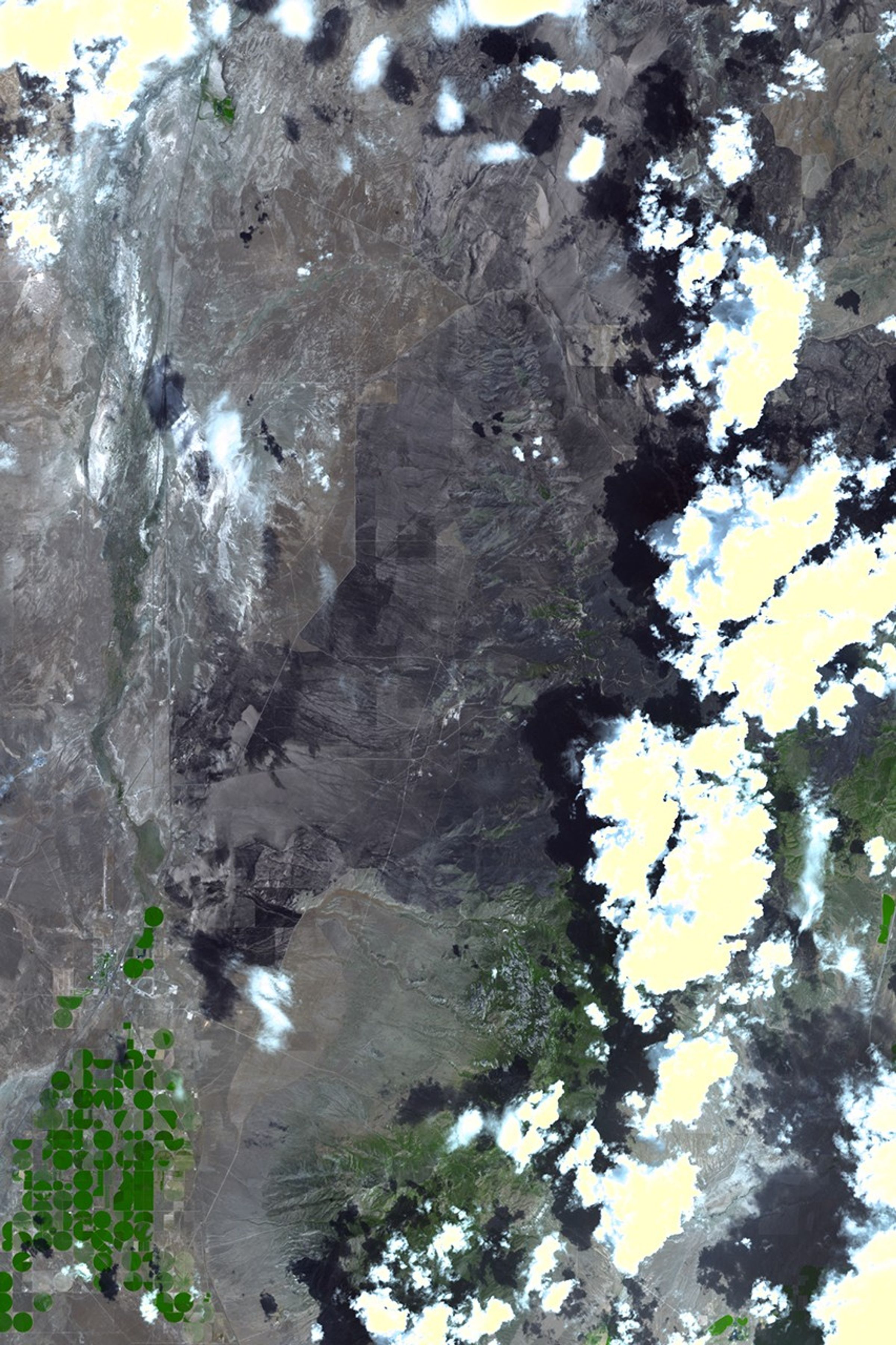
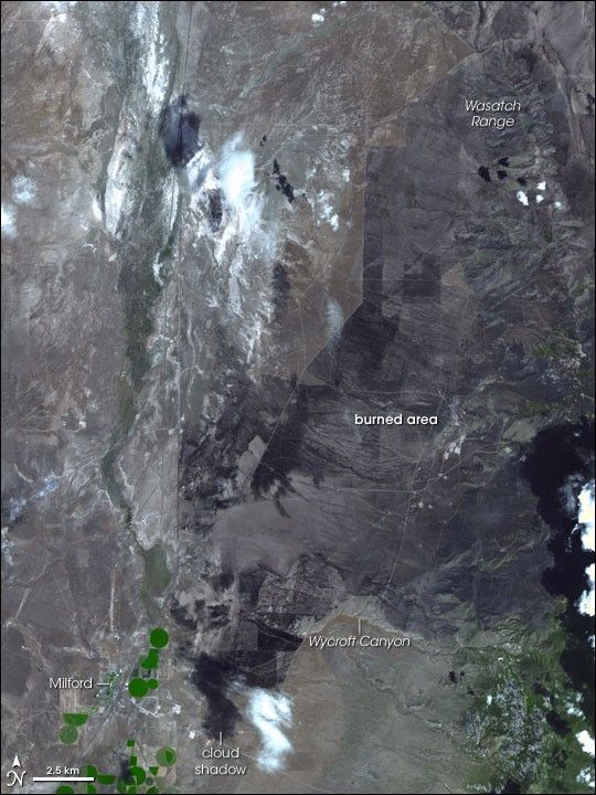
In this image of the area captured by the Advanced Spaceborne Thermal Emission and Reflection Radiometer (ASTER) on NASA’s Terra satellite on July 17, part of the burned area is visible north of the small town of Milford in southwestern Utah. The burn scar (charcoal-colored area) dwarfs the size of the town. Roads (pale lines) crisscross the burned area, which covers much of the plain to the west of the southern mountains in the Wasatch Range. Some roads appear to have served as fire breaks, giving the burn scar sharply defined edges in places. Irrigated vegetation appears bright green, forests appear dull green, and dry grassland and sagebrush terrain appear tan or faintly green.
The blaze was started by lightning on July 6, and it was estimated to have consumed more than 363,000 acres (about 567 square miles), making it the largest known fire in Utah’s history. Much of the area burned was rangeland, and the loss of such a large grazing area will have a major impact on the area’s ranchers. According to local news reports, ongoing drought had already reduced forage and hay production, and the burned rangeland will be off-limits for several years until the vegetation in the area recovers from the fire.
You can download a 15-meter-resolution KMZ file of Milford Flat suitable for use with Google Earth.
References & Resources
- Smart, C. (2007, July 11). Central Utah cattlemen worry about how to feed livestock now that fire has ravaged the range, The Salt Lake Tribune Online. Accessed July 18, 2007.
- Winslow, B. and Palmer, R. (2007, July 17). Milford fire contained, ranch lands devastated, deseretnews.com. Accessed July 18, 2007.
NASA image by Jesse Allen, using data provided courtesy of the NASA/GSFC/MITI/ERSDAC/JAROS, and U.S./Japan ASTER Science Team.