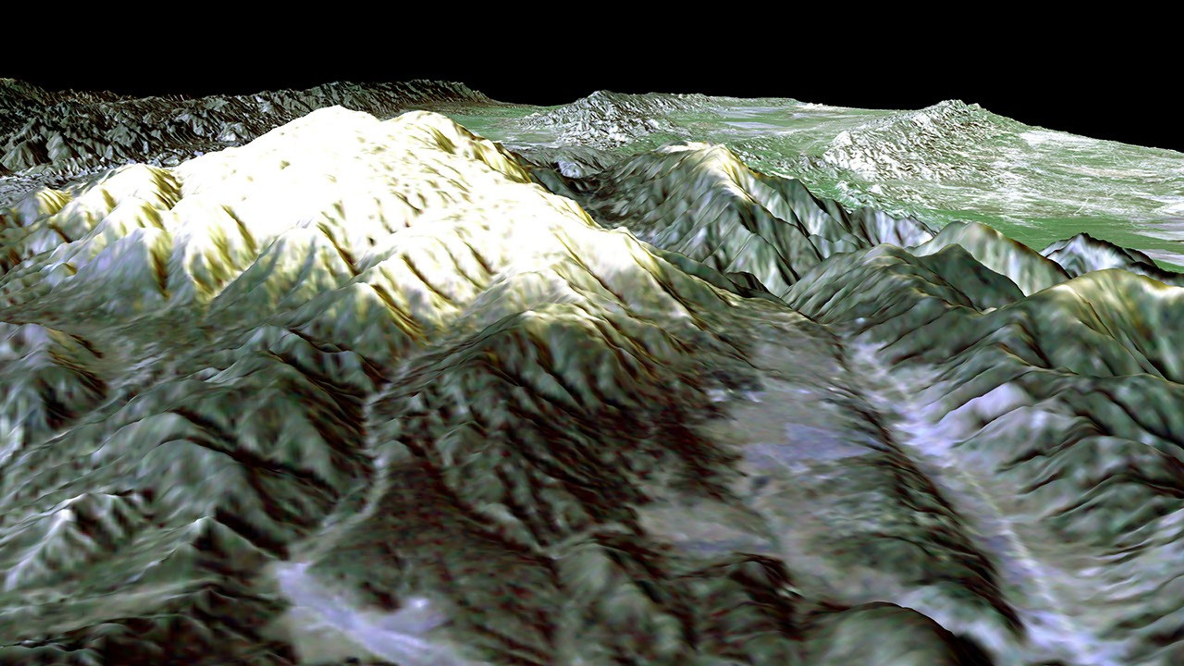
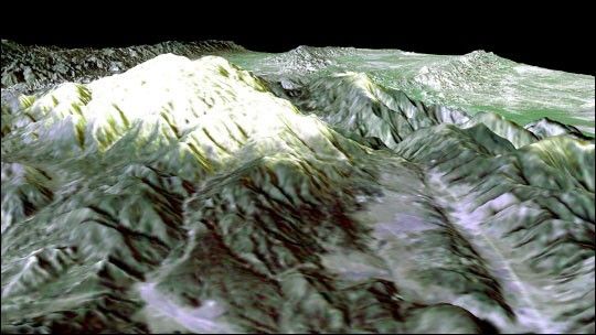
Prominently displayed in this image, Mt. Pinos, at 2,692 meters (8,831 feet) is the highest peak in the Los Padres National Forest. Named for the mantle of pine trees covering its slopes and summit, it offers one of the best stargazing sites in Southern California. Shuttle Radar Topography Mission (SRTM) elevation data were combined with Landsat data to generate this perspective view looking toward the northwest. Not only is the mountain popular with astronomers and astro-photographers, it is also popular for hiking trails and winter sports.
The broad low relief area in the right foreground is Cuddy Valley. Cuddy Valley Road is the bright line on the right (north) side of the valley. Just to the left and paralleling the road is a scarp (cliff) formed by the San Andreas fault. The fault slices through the mountains here and then bends and continues onto the Carrizo Plain (right center horizon). This entire segment of the San Andreas fault broke in a major earthquake in 1857.
Landsat has been providing visible and infrared views of the Earth since 1972. SRTM elevation data match the 30-meter (98-foot) resolution of most Landsat images and will substantially help in analyses of the large and growing Landsat image archive. For visualization purposes, topographic heights displayed in this image are exaggerated two times. Colors approximate natural colors.
Distance to Horizon: 176 kilometers (109 miles)
Location: 34.8 deg. North lat., 119.1 deg. West lon.
View: Toward the Northwest
Date Acquired: February 16, 2000 SRTM, December 14, 1984 Landsat
References & Resources
Image courtesy NASA/JPL/NIMA/USGS