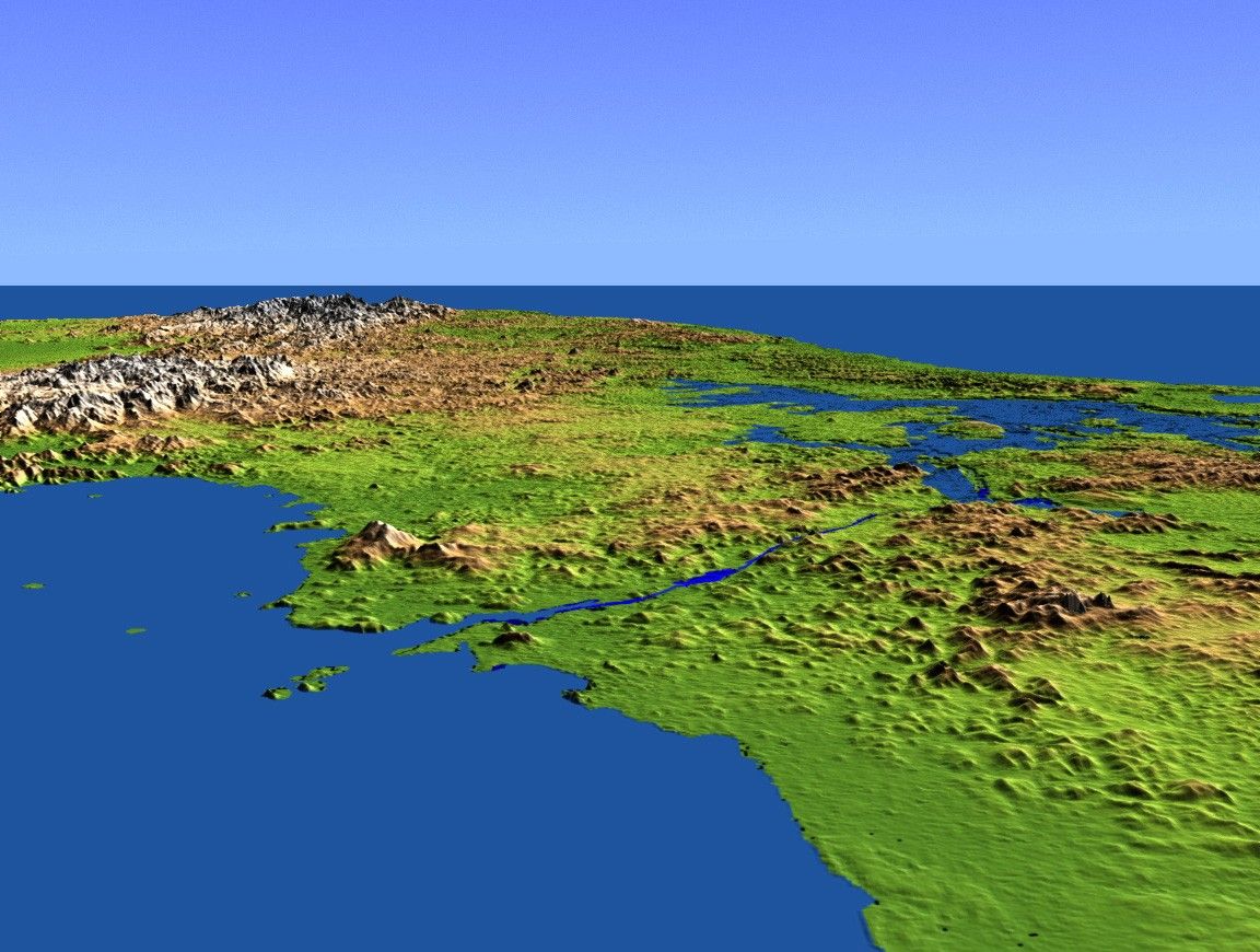

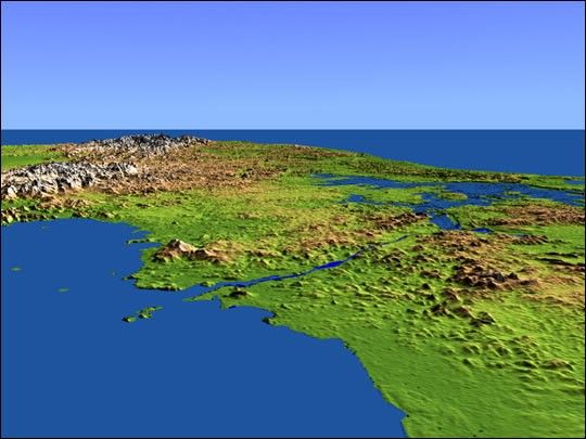
This perspective view shows the Panama Canal with the Gulf of Panamain the foreground and the Caribbean Sea in the distance. The canal runsnorthwest-southeast from the city of Colon on the Atlantic side toPanama City on the Pacific side. Water levels are maintained along itslength by three reservoirs, the largest of which is Lake Gatun, visibleat the right center of the image. Built by the U.S. Army Corps ofEngineers between 1904 and 1914, the canal extends for approximately 50miles, and is widely considered to be one of the world’s greatengineering achievements.
This shaded relief perspective view was generated using topographicdata from the Shuttle Radar Topography Mission (SRTM). Acomputer-generated artificial light source illuminates the elevationdata to produce a pattern of light and shadows. Slopes facing the lightappear bright, while those facing away are shaded. On flatter surfaces,the pattern of light and shadows can reveal subtle features in theterrain. Colors show the elevation as measured by SRTM, and range fromgreen at the lowest elevations to white at the highest elevations.
Size: scale varies in this perspective image
Location: 9.0 degrees North latitude, 79.8 degrees West longitude
Orientation: looking West
Original Data Resolution: SRTM 30 meters (99 feet)
References & Resources
Image Courtesy SRTM Team NASA/JPL/NIMA