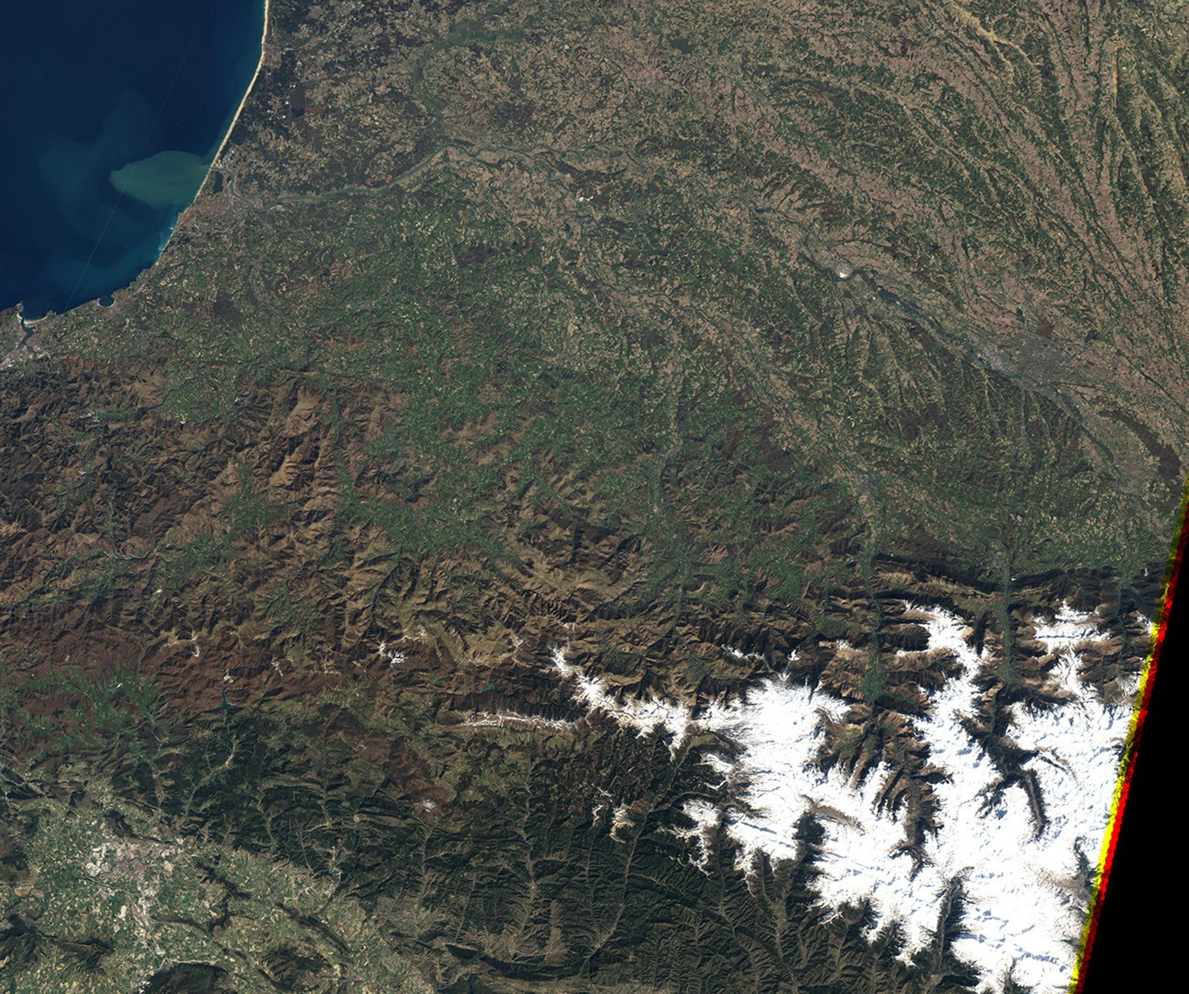
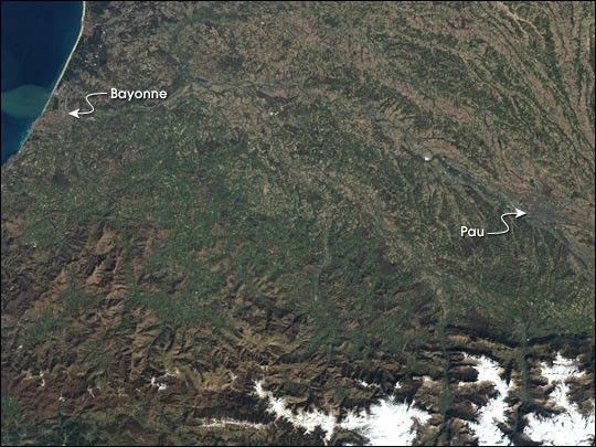
The 16th stage of the Tour de France—the world’s toughest bike race—travels across the Pyrénées Atlantiques region from Pau to Bayonne. Instead of traveling the gentle gradient along the Gave de Pau and Adour rivers, the race heads south for a final 197 km (122.4 mile) trip through the mountains. The riders must surmount five climbs during the day, totalling more than 2,800 meters (9,200 feet) of elevation gain. The average speed of the race will likely be 35 km per hour (22 miles per hour). In contrast flat stages are raced at about 42 km per hour (26 miles per hour).
This scene was acquired by NASA’s Landsat 7 satellite on March 17, 2003.
References & Resources
Image courtesy Landsat 7 Science Team