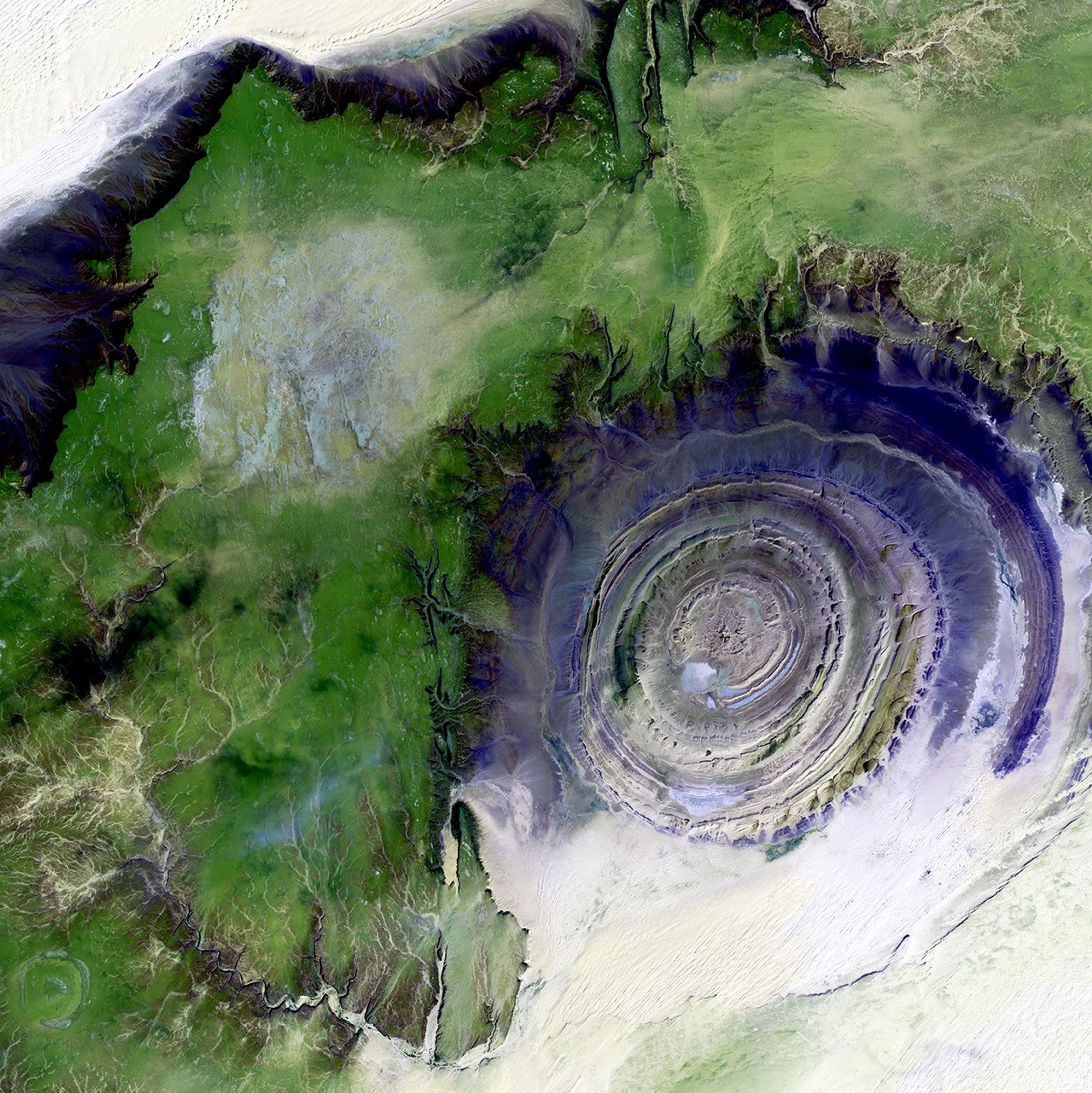
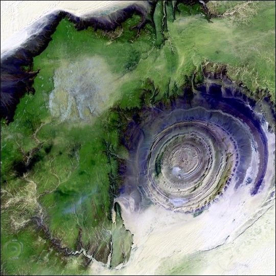
The so-called Richat Structure is a geological formation in the Maur Adrar Desert inthe African country of Mauritania. Although it resembles an impact crater, the RichatStructure formed when a volcanic dome hardened and gradually eroded, exposing theonion-like layers of rock.
This image was acquired byLandsat 7's Enhanced Thematic Mapper plus(ETM+) sensor on January 11, 2001. This is a false-color composite image made using shortwaveinfrared, infrared, and green wavelengths. The image has also been sharpened using the sensor'spanchromatic band.
References & Resources
Image provided by the USGS EROS Data Center Satellite Systems Branch. This image is part of the ongoing Landsat Earth as Art series.