


December 8, 2016
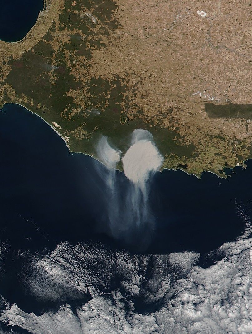
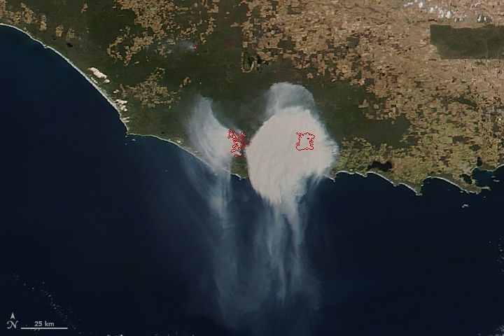
A thick plume of smoke billowed over the Western Australia coast and the Great Australian Bight on December 8, 2016. The Visible Infrared Imaging Radiometer Suite (VIIRS) on the Suomi NPP satellite passed overhead the same day and captured this natural-color image. Red outlines indicate hot land surface temperatures, usually a sign of fire.
The blaze—likely a bush fire—comes amid a stretch of extreme summer heat in parts of Australia.
References & Resources
- NASA Earth Observatory (2016, December 8) A Zigzagging Smoke Plume Over Western Australia.
- The Guardian (2016, November 30) Australia Braces for Extreme Weather as Summer Gets Off to a Sweltering Start. Accessed December 8, 2016.
NASA image by Jeff Schmaltz, LANCE/EOSDIS Rapid Response . Caption by Pola Lem.