













Suggested Searches

1 min read

Saharan Dust Across West Africa

Instruments:
2004-03-04 00:00:00
March 4, 2004

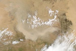
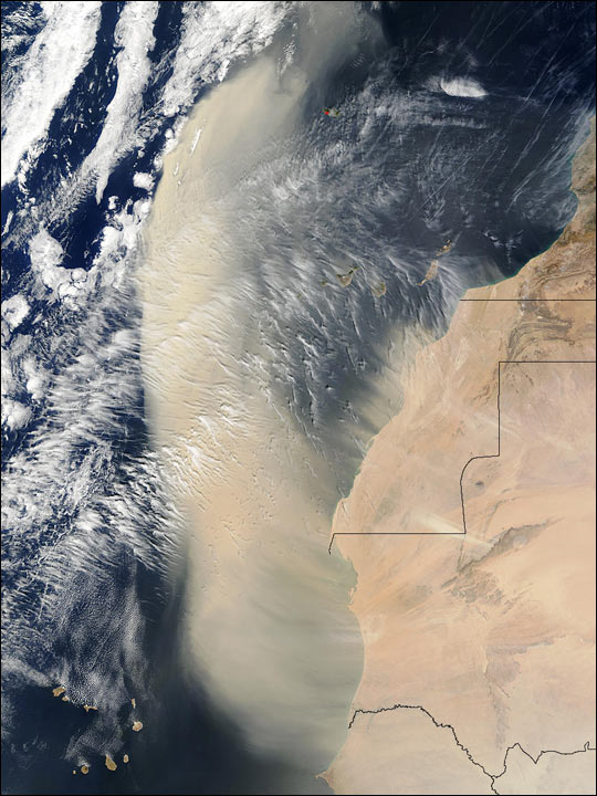
A wall of Saharan dust that was captured in an image from March 3, 2004, had billowed out over the Atlantic and begun to spread northward by the next day. This image of the massive plume of dust was captured by the Moderate Resolution Imaging Spectroradiometer (MODIS) on the Terra satellite on March 4, 2004. Countries pictured are (top to bottom) Morocco, Western Sahara, Mauritania, Senegal (left), and Mali (right). At bottom left are the Cape Verde Islands, and west of Morocco are the Canary Islands, veiled by the blowing dust.

The high-resolution image provided above is 1 kilometer per pixel. The MODIS Rapid Response System provides this image at

additional resolutions.

References & Resources

Image courtesy Jeff Schmaltz, MODIS Rapid Response Team, NASA-GSFC
You may also be interested in:

Stay up-to-date with the latest content from NASA as we explore the universe and discover more about our home planet.

Michigan’s Les Cheneaux Islands
3 min read

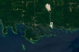
These glacial landforms jut into northern Lake Huron, surrounded by sheltered channels and coves frequented by fish and small watercraft.

Article
Sizing Up the Sargassum Belt
6 min read

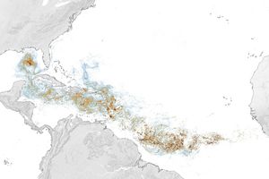
Seaweed composing the Great Atlantic Sargassum Belt hit near-record levels in June 2026, with the Caribbean Sea and Gulf of…

Article
A Tide-Fueled Trove of Biodiversity in Guinea-Bissau
3 min read

The expansive mudflats, sandy beaches, and mangrove forests of the Bijagós archipelago support an array of migratory shorebirds and large…

Article