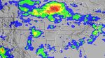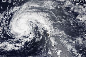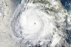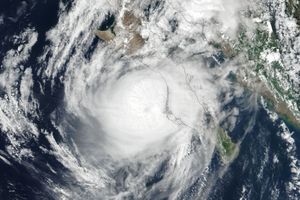


















A line of powerful, drenching storms snaked across the upper Great Plains of the United States in the third full week of August 2007, while the remnants of Tropical Storm Erin drenched the already-sodden Southern Plains.
This image from the near-real-time, Multi-satellite Precipitation Analysis (MPA) project at NASA’s Goddard Space Flight Center shows rain accumulations between August 10 and August 20, 2007, across the central and eastern United States. Based in part on observations form the Tropical Rainfall Measuring Mission (TRMM) satellite, the MPA shows that some areas of Wisconsin and Minnesota received more than 500 millimeters of rain (dark red) during the stormy period—even more rain than Texas and Oklahoma received from the passage of Tropical Storm Erin.
Between August 21-22, these two storm systems collided in the Great Lakes and Ohio Valley areas and unleashed huge amount of rain. Flash flooding, strong winds, and tornadoes also occurred in many states, and more than 20 people were killed, according to news reports.
TRMM is a joint mission between NASA and the Japanese Space Agency, JAXA.
References & Resources
NASA image by Hal Pierce.