

















March 18, 2017
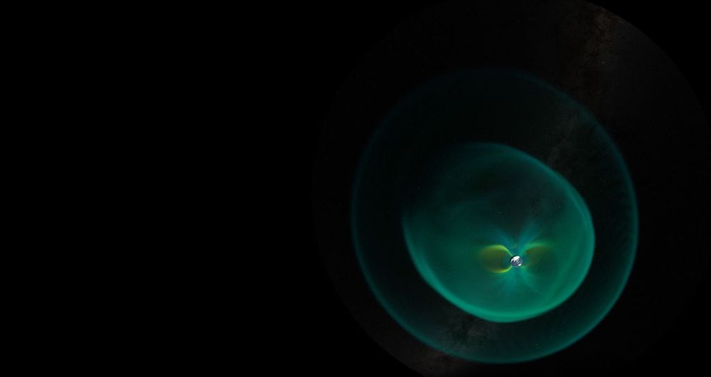
On March 18, 2017, auroras drew an arc across the sky over Mac Robertson Land in East Antarctica. The Visible Infrared Imaging Radiometer Suite (VIIRS) on the Suomi NPP satellite captured this view of the aurora australis, or “southern lights,” that night.
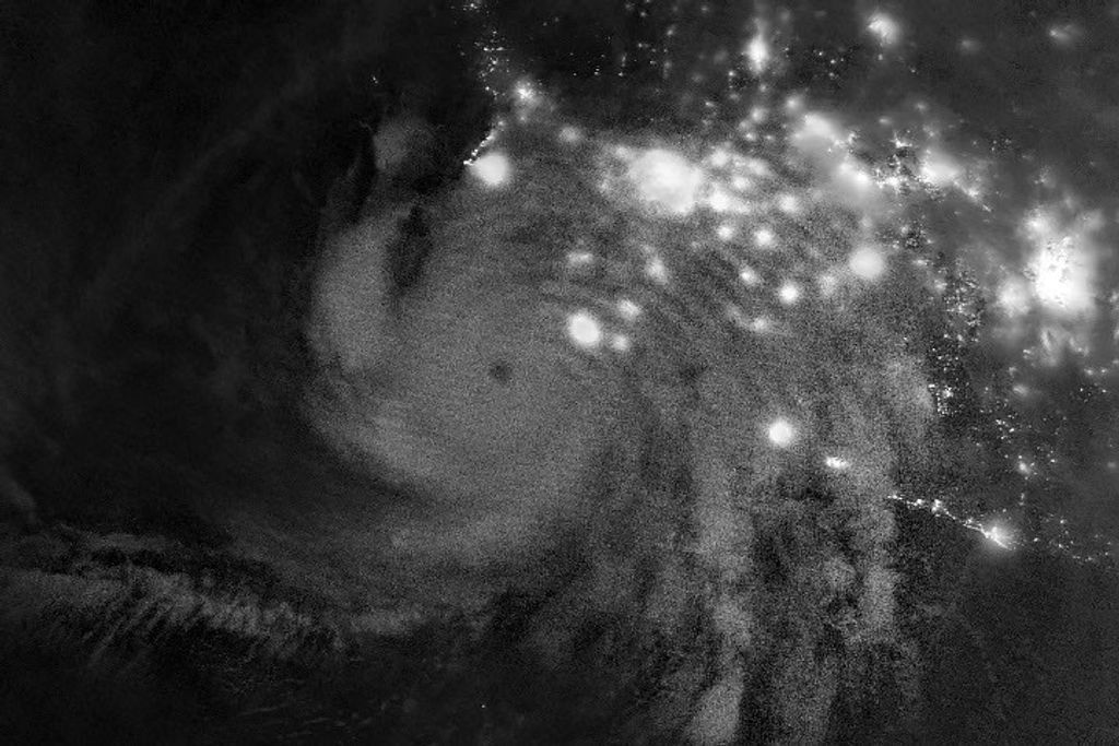
The VIIRS “day-night band” detects light in a range of wavelengths from green to near-infrared and uses filtering techniques to observe signals such as gas flares, auroras, wildfires, city lights, and reflected moonlight.
References & Resources
- NASA Earth Observatory (2012, October 10) Auroras over North America.
- NASA Earth Observatory (2012, July 15) Auroras Light Up the Antarctic Night.
- Goddard Space Flight Center (2002, September 13) Aurora. Accessed March 22, 2017.
NASA Earth Observatory image by Jesse Allen, using VIIRS day-night band data from the Suomi National Polar-orbiting Partnership. Caption by Pola Lem and Mike Carlowicz.