![Request for Information – Potential [Placeholder for Prize]](https://assets.science.nasa.gov/dynamicimage/assets/science/missions/a-step/FFR_Earth_Background_20251120%20.png?w=1024)


July 18, 2004
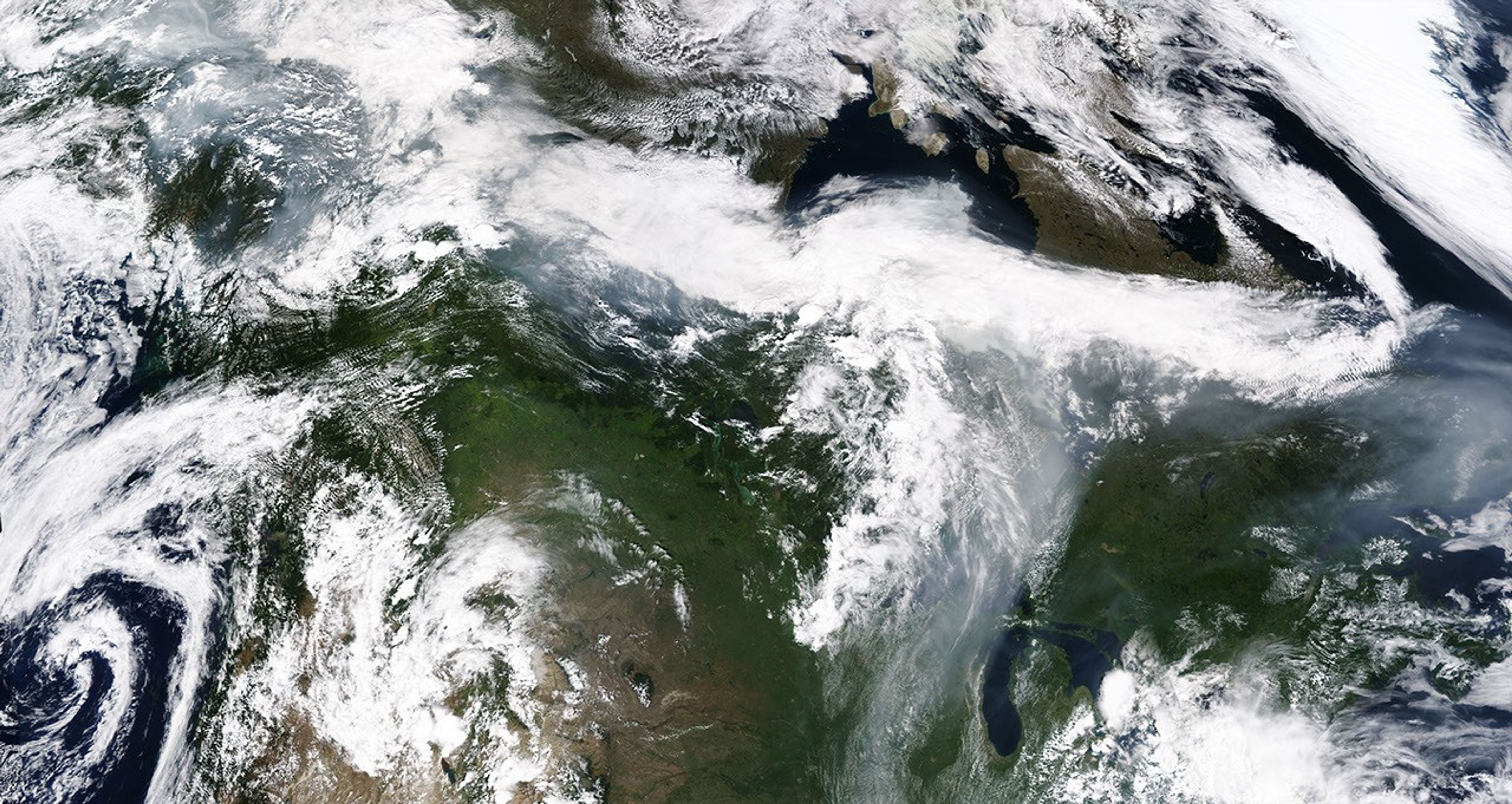
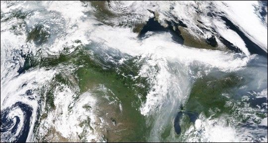
This large-scale image was made by stitching together four images collected by the Moderate Resolution Imaging Spectroradiometer (MODIS) instruments aboard both the Terra and Aqua satellites. The mosaic shows the extent to which smoke from fires burning in Alaska has spread all the way across Canada and into the Great Lakes region of the United States.
The high-resolution version available here is 1 kilometer per pixel.
References & Resources
NASA image by Jesse Allen, Earth Observatory, using data courtesy MODIS Rapid Response