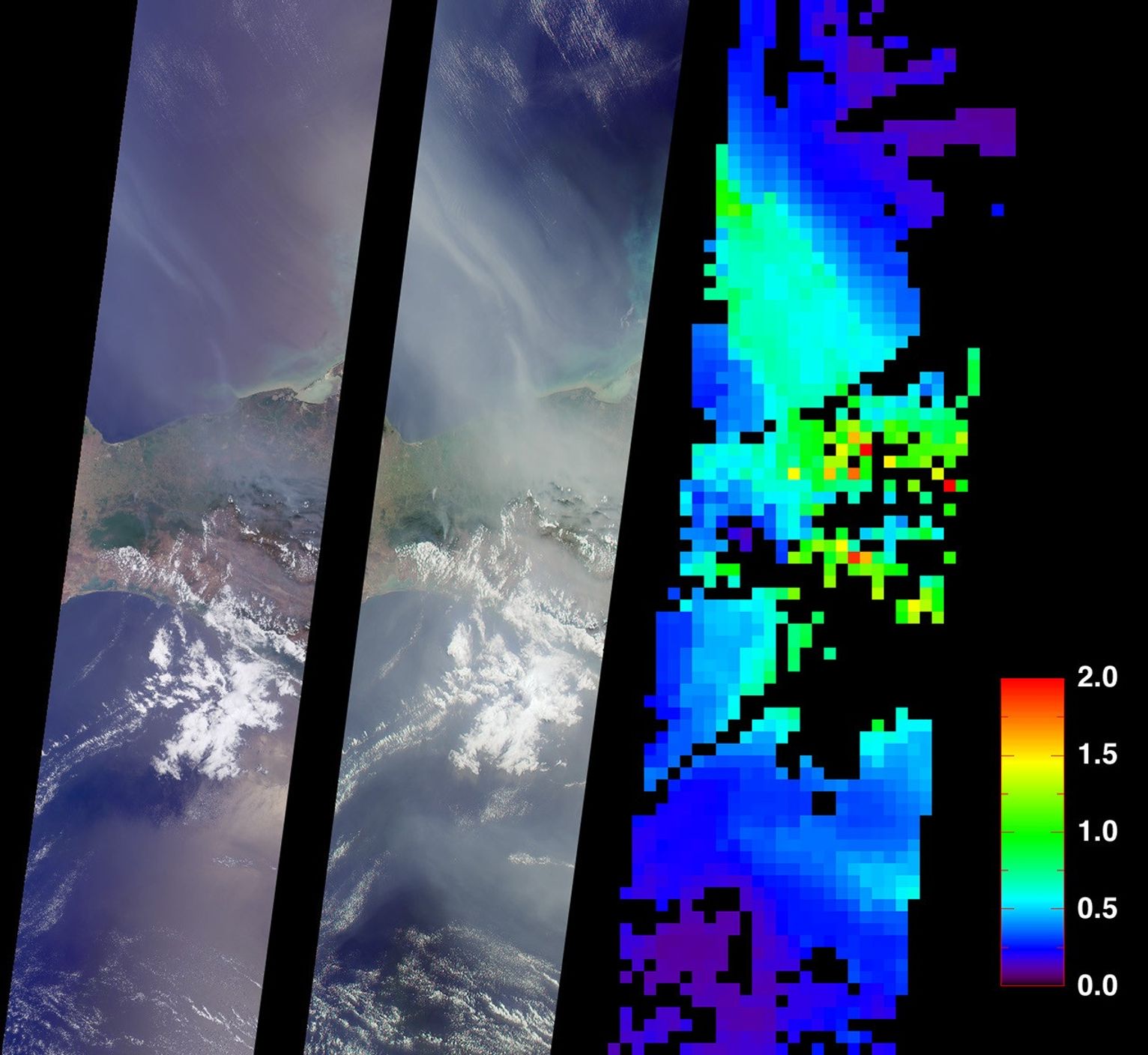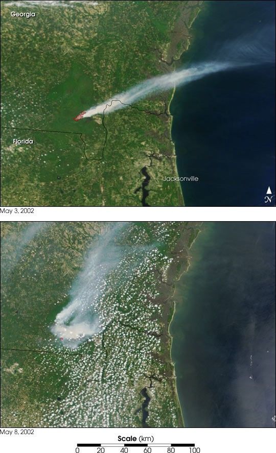
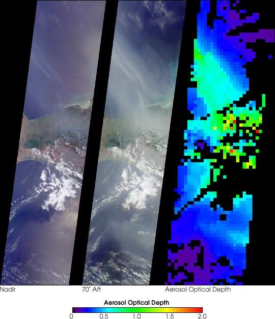
On May 2, 2002, numerous fires in southern Mexico sent smoke driftingnorthward over the Gulf of Mexico. These views from the Multi-angle ImagingSpectroRadiometer (MISR) illustrate the smoke extent over parts of the Gulf and thesouthern Mexican states of Tabasco, Campeche and Chiapas. At the same time,dozens of other fires were also burning in the Yucatan Peninsula and acrossCentral America. A similar situation occurred in May and June of 1998, whenCentral American fires resulted in air quality warnings for several U.S. States.
The image on the left is a natural color view acquired by MISR’svertical-viewing (nadir) camera. Smoke is visible, but sunglint in some oceanareas makes detection difficult. The middle image, on the other hand, is anatural color view acquired by MISR’s 70-degree backward-viewing camera; itsoblique view angle simultaneously suppresses sunglint and enhances the smoke. Amap of aerosol optical depth, a measurement of the abundance of atmosphericparticulates, is provided on the right. This quantity is retrieved using anautomated computer algorithm that takes advantage of MISR’s multi-anglecapability. Areas where no retrieval occurred are shown in black.
The images each represent an area of about 380 kilometers x 1550 kilometers.
References & Resources
Image courtesy NASA/GSFC/LaRC/JPL, MISR Team.