


September 6, 2003
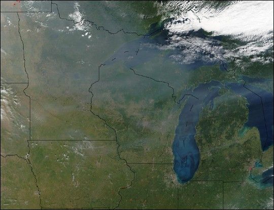
This true-color image shows smoke spreading eastward over a large area over central North America, extending from the Pacific Northwest all the way over the Great Lakes region. The smoke was generated from a number of intense wildfires burning in the western United States and Canada. This scene was acquired by the Moderate Resolution Imaging Spectroradiometer (MODIS), aboard NASAâs Terra satellite, on Sept. 6, 2003.
The high-resolution image provided above is 500 meters per pixel. The MODIS Rapid Response System provides this image at MODISâ maximum spatial resolution of 250 meters.
References & Resources
Image courtesy Jeff Schmaltz, MODIS Rapid Response Team, NASA GSFC


