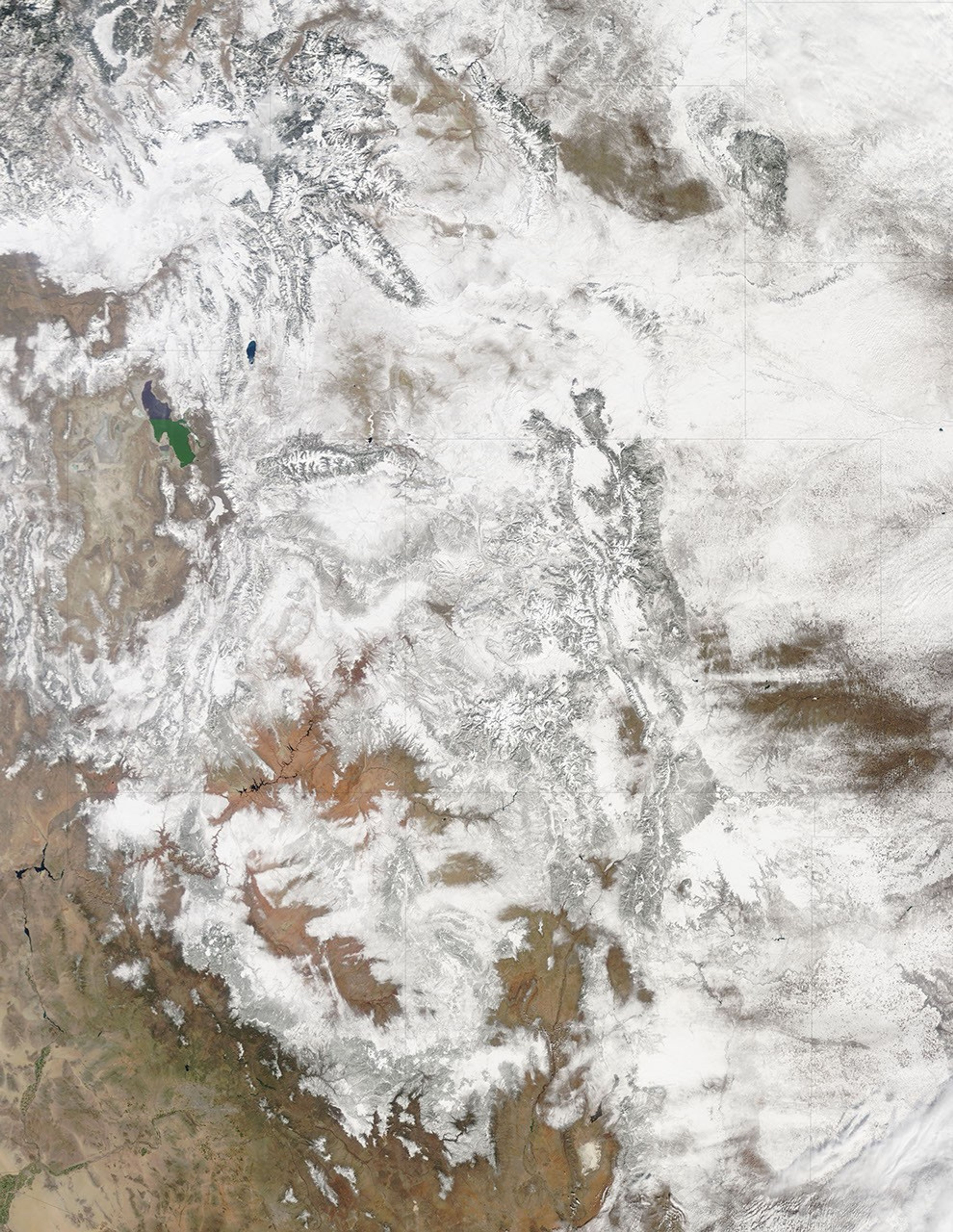
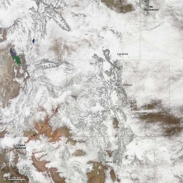
Snow cover stretched from South Dakota’s Mt. Rushmore to Arizona’s Grand Canyon in late February 2010, after snowstorms blanketed the Rocky Mountains. Mostly cloud-free skies allowed the Moderate Resolution Imaging Spectroradiometer (MODIS) on NASA’s Terra satellite this largely unobstructed view of the western continental United States on February 23, 2010.
From northern New Mexico, the Rocky Mountains stretch northward through Colorado and Wyoming. Along the eastern face of this mountain range, rugged terrain gives way to prairie, including the flat topography of eastern Wyoming and Colorado. Mountains extend far westward, however, with snow cover accentuating mountain peaks all the way to Salt Lake City. The snow-free Grand Canyon snakes a serpentine path in the southwest, but the land surrounding that park is snow covered, as is much of northern Arizona and New Mexico.
References & Resources
NASA image by Jeff Schmaltz, MODIS Rapid Response Team, Goddard Space Flight Center. Caption by Michon Scott.