February 10, 2016
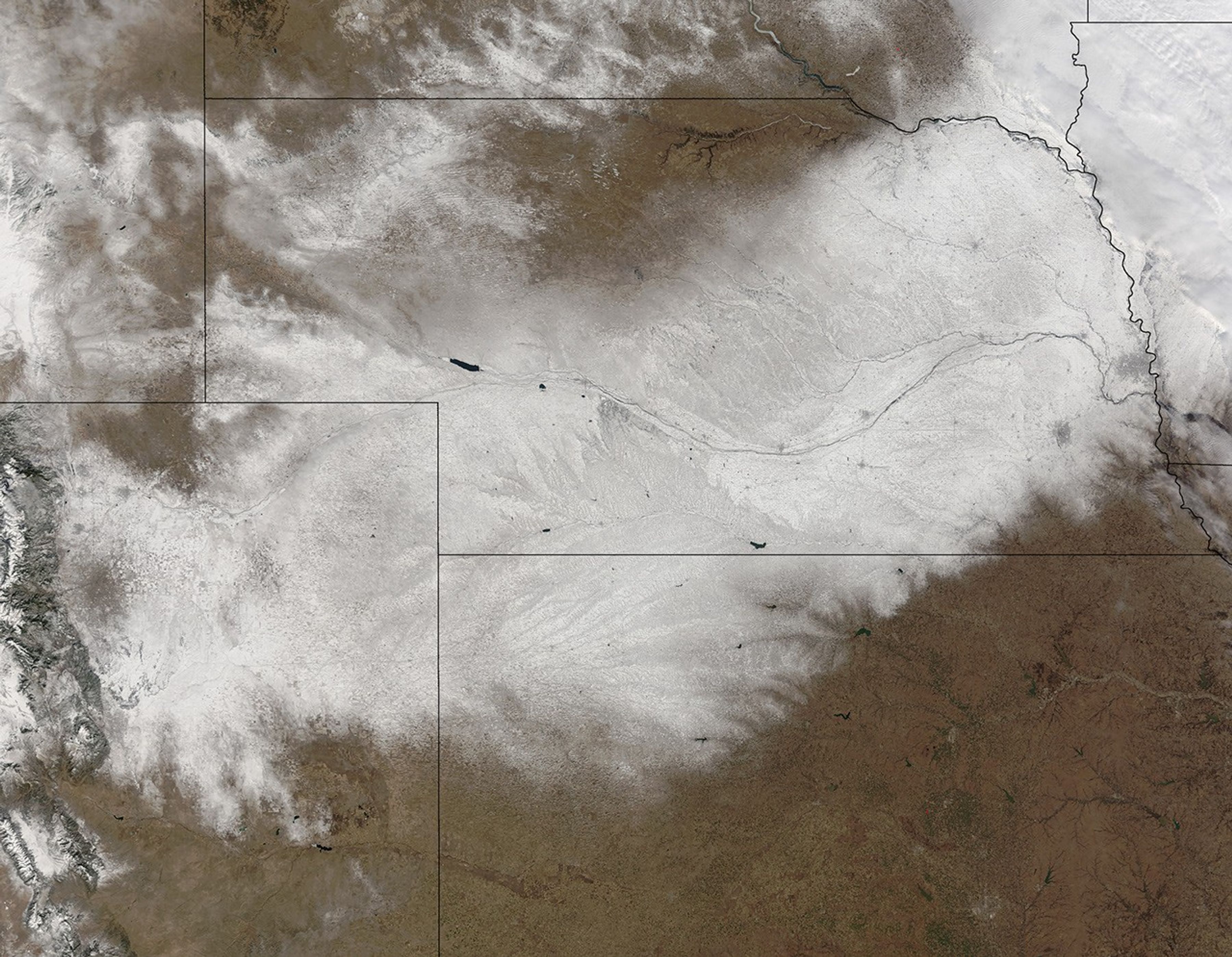
In early February 2016, a winter storm brought heavy snow and blizzard conditions to parts of the central United States. According to news reports, up to 50 centimeters (20 inches) fell on parts of Nebraska and wind gusts reached 80 kilometers (50 miles) per hour. Officials closed more than 200 miles of Interstate 80, which runs east-west across the state.
When the clouds cleared on February 10, 2016, the Moderate Resolution Imaging Spectroradiometer on NASA’s Terra satellite acquired this image of the snow that remained.
References & Resources
- KETV Omaha (2016, February 2) Officials close more than 200 miles of I-80 in Nebraska. Accessed February 11, 2016.
- NBC News (2016, February 2) Winter Storm Blasts Plains and Midwest. Accessed February 11, 2016.
NASA image by Jeff Schmaltz, LANCE/EOSDIS Rapid Response. Caption by Kathryn Hansen.