


![Request for Information – Potential [Placeholder for Prize]](https://assets.science.nasa.gov/dynamicimage/assets/science/psd/solar/2023/09/s/solarsystem_0.jpg?w=1024)


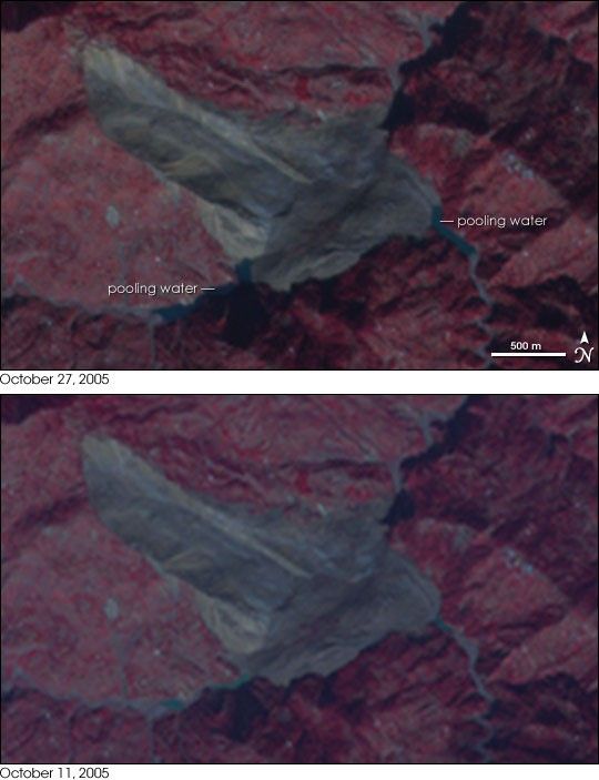
- October 27, 2005 (292 kB)
- October 11, 2005 (257 MB)
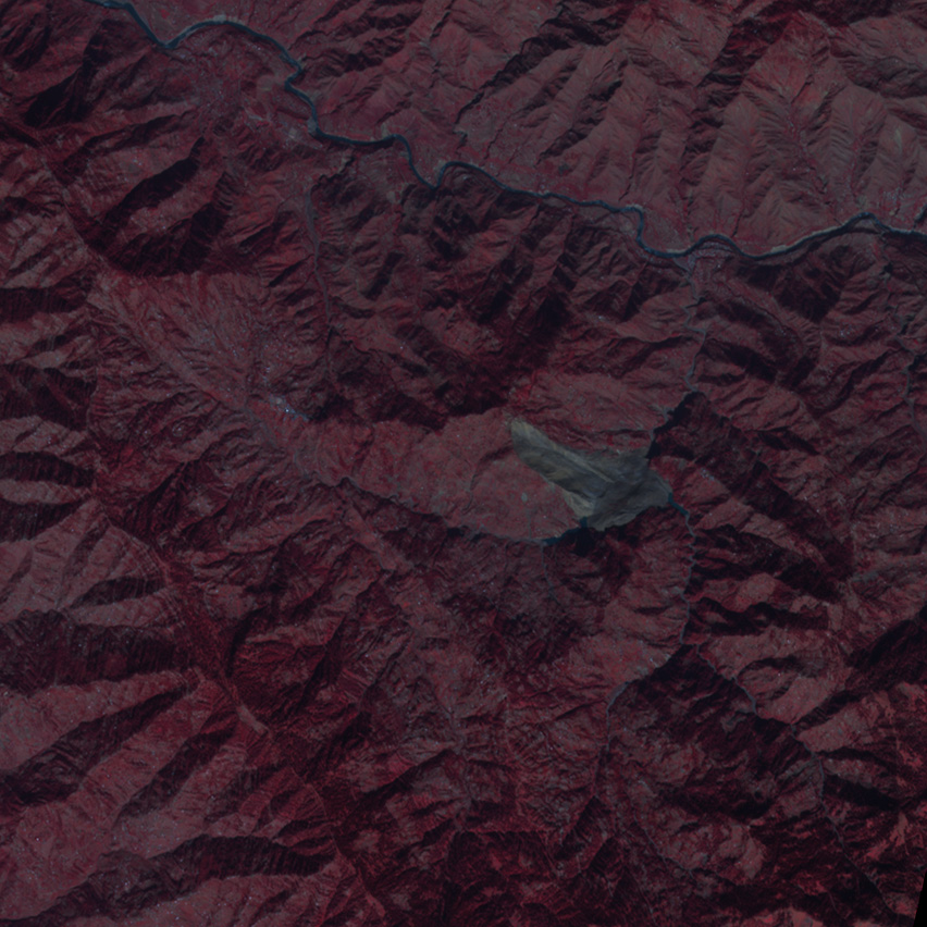
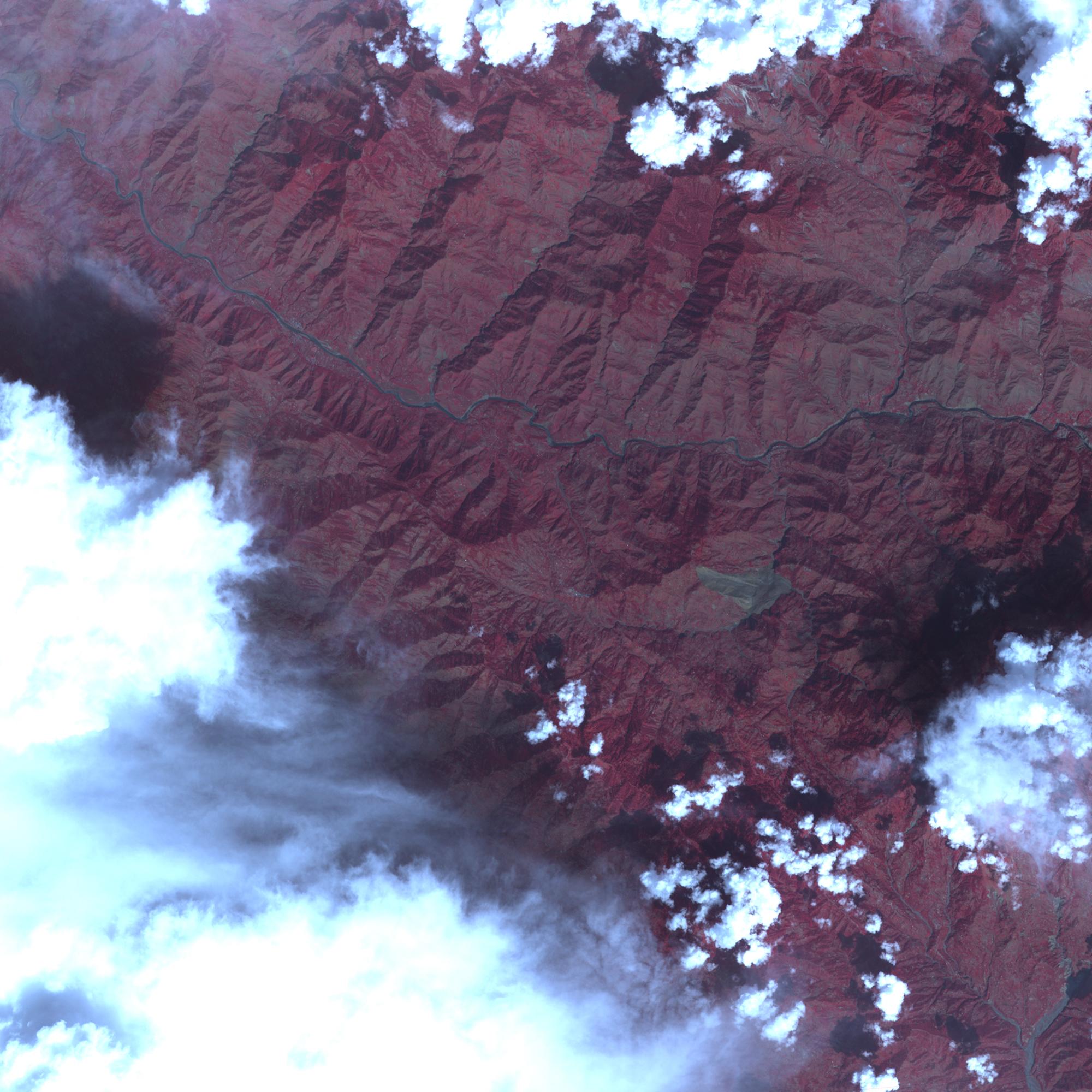
When a 7.6-magnitude earthquake shook northern Pakistan on October 8, 2005, it unleashed landslides throughout Kashmir. Days later, the Advanced Spaceborne Thermal Emission and Reflection Radiometer (ASTER) on NASA’s Terra satellite detected a landslide in the mountains southeast of the earthquake’s epicenter. The side of the mountain tumbled down onto two small rivers, which had formerly flowed north into a larger river. On October 27, ASTER acquired the top image of the same landslide. In the two and a half weeks that elapsed between the two images, the rivers pooled near the base of the landslide. The rivers will likely continue to pool into lakes until the water cuts through the rubble. The deep blue water has already spread into the grey-brown dirt as it seeks a new way to drain.
References & Resources
NASA image created by Jesse Allen, Earth Observatory, using data provided courtesy of Eric Fielding (NASA/JPL, the NASA/GSFC/METI/ERSDAC/JAROS, and U.S./Japan ASTER Science Team.


