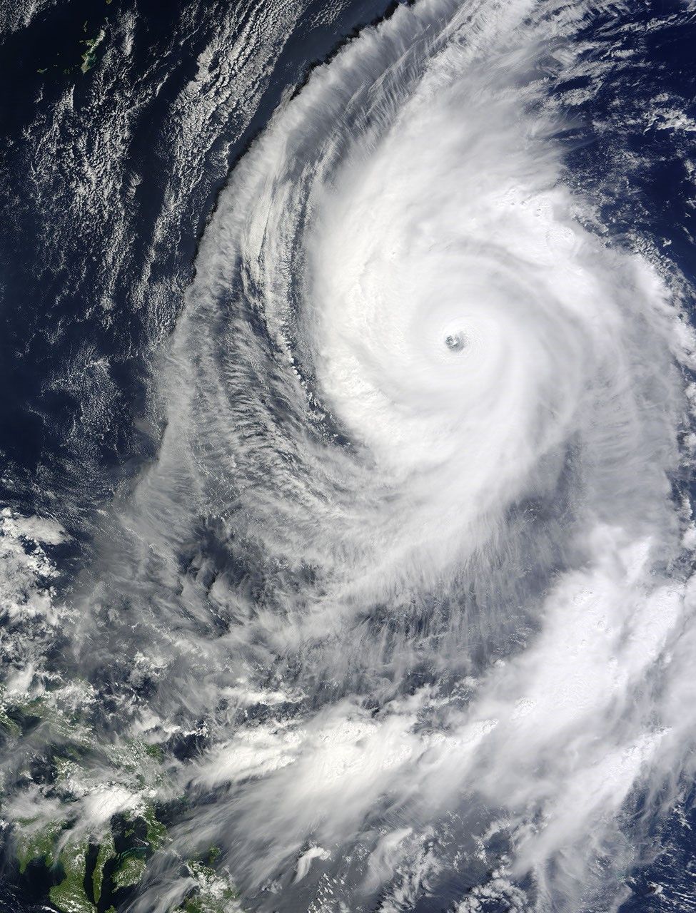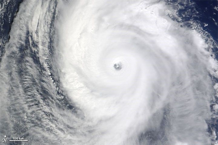
On October 19, 2009, Lupit continued its westward journey, the third severe storm headed for the Philippines, previously hit with Ketsana and Parma. The Moderate Resolution Imaging Spectroradiometer (MODIS) on NASA’s Terra satellite captured this true-color image at 10:10 Manila time (02:10 UTC) on October 19, 2009. In this image, the massive storm spans hundreds of kilometers but is not yet near any major landmasses.
According to a bulletin from the Joint Typhoon Warning Center issued October 19 at 11:00 p.m. Manila time (15:00 UTC), Lupit had maximum sustained winds of 115 knots (roughly 210 kilometers per hour) with gusts up to 140 knots (roughly 260 kilometers per hour). Winds were forecast to diminish somewhat over the next 36 hours, but to remain well within the range of typhoon strength.
References & Resources
- Joint Typhoon Warning Center. (2009, October 19). Typhoon 22W (Lupit) Warning. U.S. Naval Marine Forecast Center. Accessed October 19, 2009.
NASA image by Jeff Schmaltz, MODIS Rapid Response Team. Caption by Michon Scott, NASA Earth Observatory.