


- 9000 by 15666 pixels (9.6 MB JPEG)]
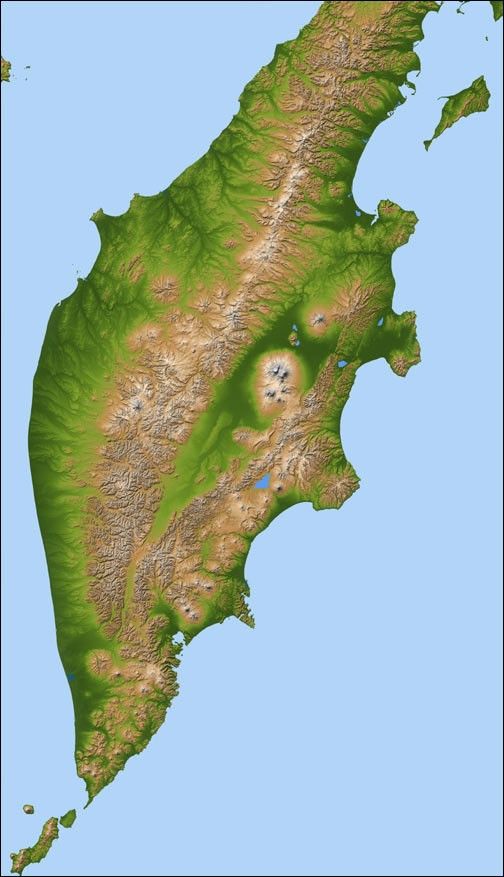
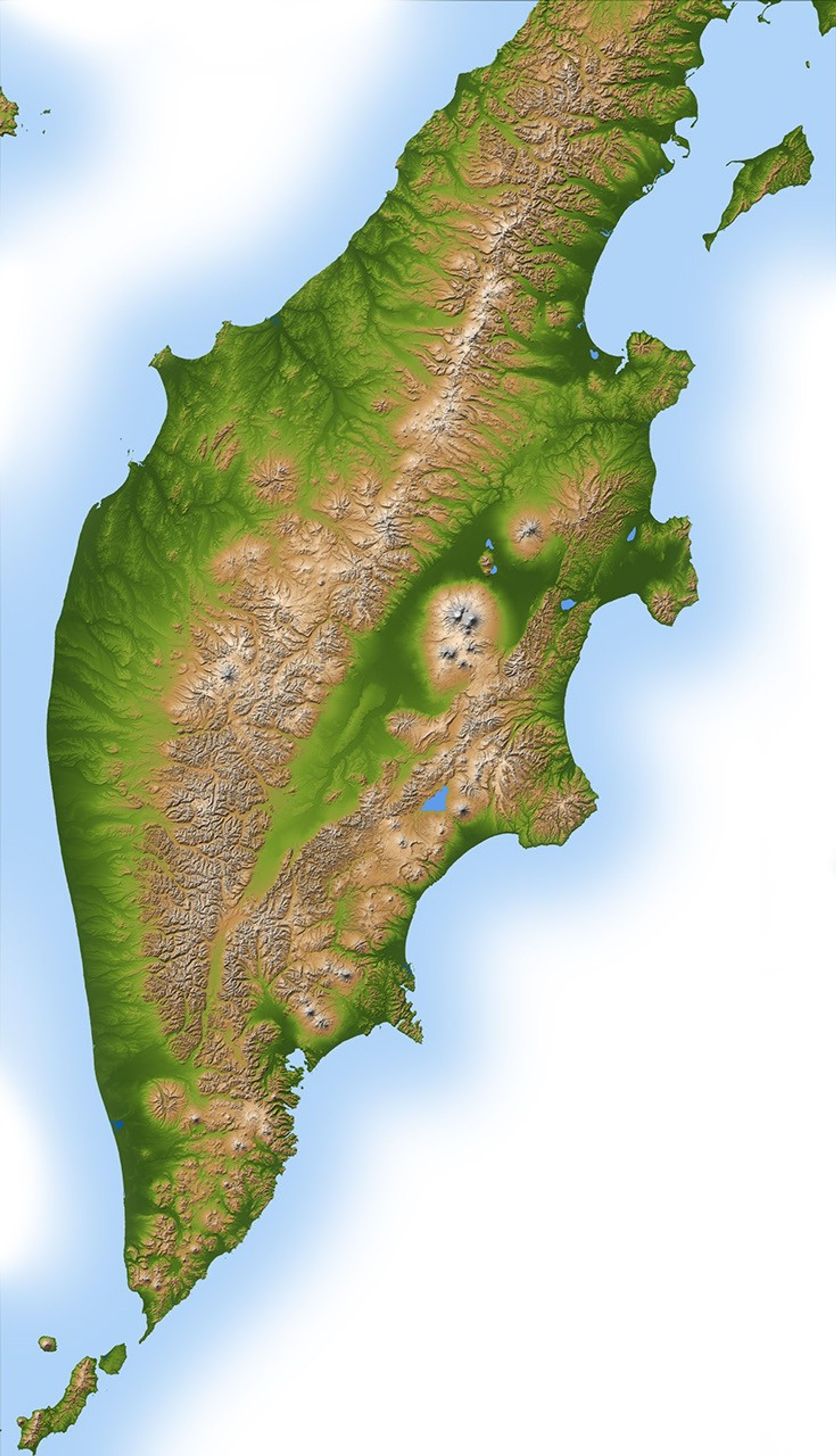
Russia’s Kamchatka Peninsula, lying between the Sea of Okhotskto the west and the Bering Sea and Pacific Ocean to the east, is one ofthe most active volcanic regions along the Pacific Ring of Fire. Itcovers an area about the size of Colorado but contains more than 100volcanoes stretching across the 1000-kilometer-long (620-mile-long) landmass. A dozen or more of these have active vents, with the youngestlocated along the eastern half of the peninsula. This color-coded shadedrelief image, generated with data from the Shuttle Radar TopographyMission (SRTM), shows Kamchatka’s volcanic nature to dramaticeffect.
Kliuchevskoi, one of the most active and renowned volcanoes in theworld, dominates the main cluster of volcanoes called the Kliuchi group,visible as a circular feature in the center-right of the image. The twoother main volcanic ranges lie along northeast-southwest lines, with theolder, less active range occupying the center and western half ofKamchatka. The younger, more active belt begins at the southernmostpoint of the peninsula and continues upward along the Pacific coastline.
Two visualization methods were combined to produce this image:shading and color coding of topographic height. The shade image wasderived by computing topographic slope in the north-south direction, sonorthern slopes appear bright and southern slopes appear dark. Colorcoding is directly related to topographic height, with green at thelower elevations, rising through yellow and brown to white at thehighest elevations.
Size: 1,113 by 638 kilometers (692 by 396 miles)
Location: 55 degrees North latitude, 160 degrees East longitude
Orientation: North toward the top
Image Data: Shaded and colored SRTM elevation model
Date Acquired: February 2000
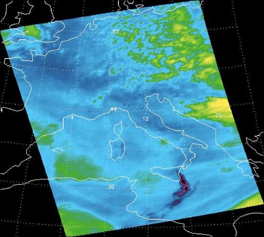
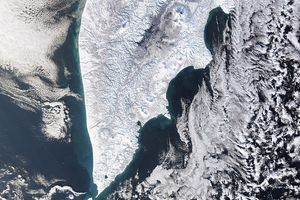
Photographs from the Space Shuttle and International Space Station showa different perspective on the volcanoesof cental Kamchatka.
References & Resources
Image Courtesy SRTM Team NASA/JPL/NIMA


