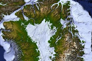
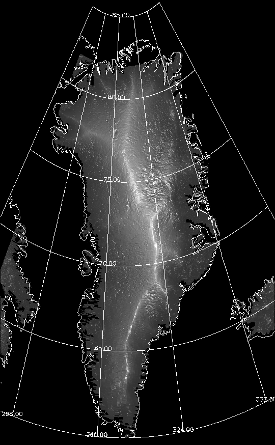
The island of Greenland is covered by the largest ice sheet in the world outside Antarctica. Roughly 85% of the island is permanently covered in ice up to 3,375 meters (11,070 feet) thick. The topography of Greenland's ice sheet is shown in this image, based on data from NASA’s ICESat.
Because the island is covered by such a thick sheet of ice, it is easy to picture Greenland as a flat, featureless white plain. In reality, the ice’s elevation rises dramatically between sea level around the coastline and the east-central interior, where elevations reach 3,200 meters (10,499 feet). The bright line running north to south roughly through the center of the island shows where the ice sheet peaks in a long island-spanning ridge. Fainter (lower elevation) ridgelines are visible near the northwest coast. The deeper shadows on the eastern (right) side of the major ridgeline indicate that the elevation drops off to the sea more rapidly. On the western slopes, the descent is more gradual.
Over time the Geoscience Laser Altimeter System (GLAS) aboard ICESat will produce maps showing change in the ice sheets and the glacial rivers that flow from the island’s interior. Greenland’s unique ice sheets hold the key to Earth's past climate, and may provide some clues for our future climate, too.
References & Resources
Image courtesy John P. DiMarzio and the ICESat Science Team
None