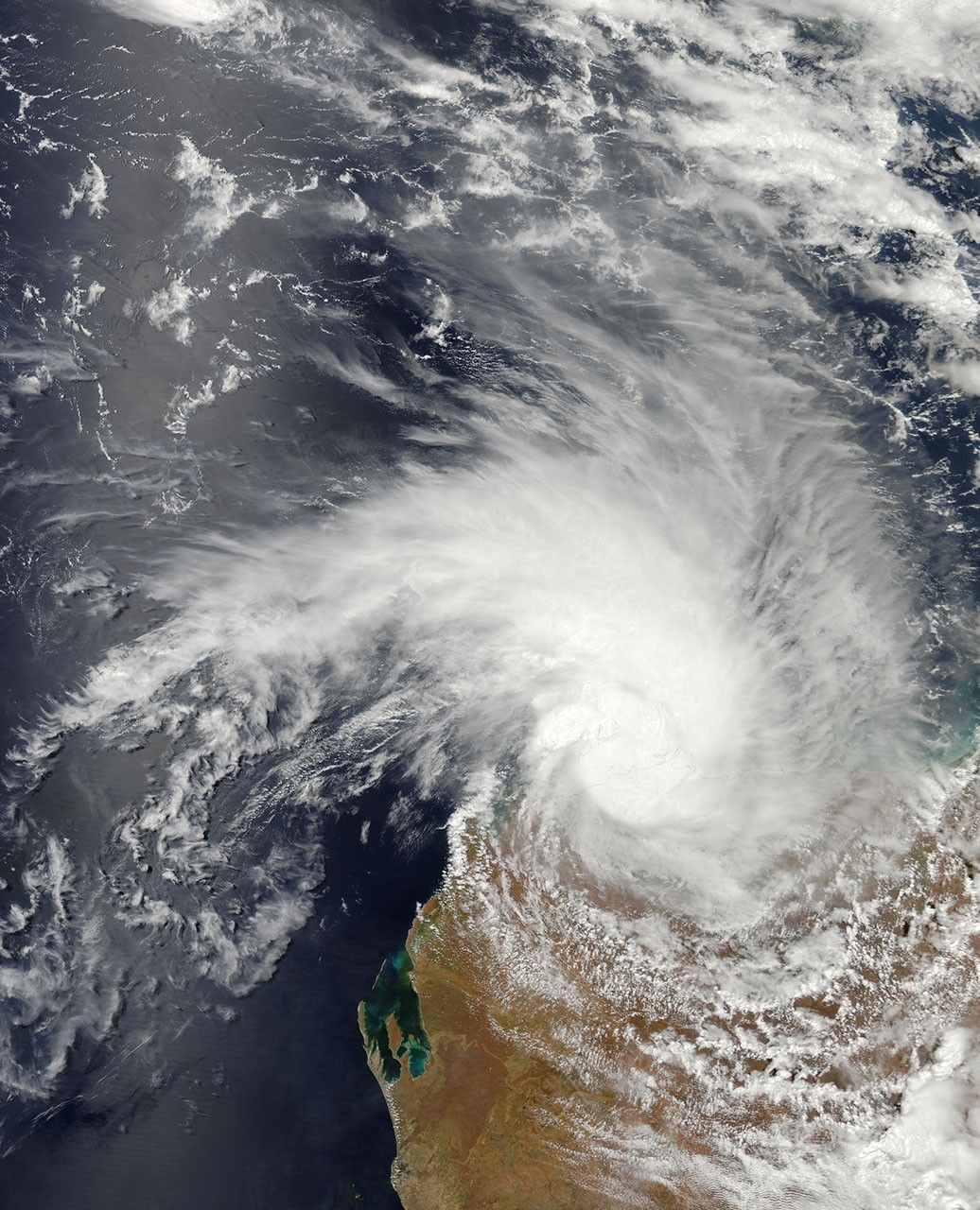
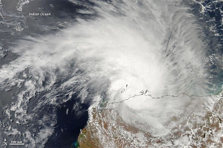
Tropical Cyclone Carlos traveled along the northwestern coast of Australia in late February 2011. The Moderate Resolution Imaging Spectroradiometer (MODIS) on NASA’s Aqua satellite captured this natural-color image around 2:25 p.m. local time on February 22, 2011. Following a path similar to that of Tropical Cyclone Diane, Carlos passes near the city of Learmonth, Western Australia, bearing an apostrophe shape characteristic of tropical cyclones.
The U.S. Navy’s Joint Typhoon Warning Center (JTWC) reported that, as of 5:00 a.m. Western Australia time on February 23, Carlos was located roughly 50 nautical miles (95 kilometers) northeast of Learmonth. The storm had maximum sustained winds of 60 knots (110 kilometers per hour) and gusts up to 75 knots (140 kilometers per hour). Carlos was forecast to intensify after moving west of Learmonth, but weaken in roughly 24 hours, thanks to increased vertical wind shear and cooler sea surface temperatures. Within about 96 hours, the storm was expected to become extra-tropical.
References & Resources
- Joint Typhoon Warning Center. (2011, February 22). Tropical Cyclone 15S (Carlos) Warning. Accessed February 22, 2011.
NASA image by Jeff Schmaltz, MODIS Rapid Response Team at NASA GSFC. Caption by Michon Scott.