- Quicktime (.mov) format (750 KB)
- MPEG-1 (.mpg) format (1.1 MB)
Having formed just off the west coast of the island of Madagascar onthe 26th of January 2004, Tropical cyclone Elita (9S) then came ashoreon the 29th near the coastal town of Mahajanga on the northwest coast.Elita then moved southwest parallel to the coast line before driftingback out over the Mozambique Channel on the 1st of February. Elitastrengthened into a minimal category 1 cyclone with winds estimated at75 mph by the Joint Typhoon Warning Center on the 2nd. The system thencame ashore again on the western coastline of Madagascar near the townof Morondava before moving southeast across the island on the 3rd andexiting on the east coast. Four more people were reported killed asa result of Elita coming ashore for the second time and many thousandswere reported to be left homeless.
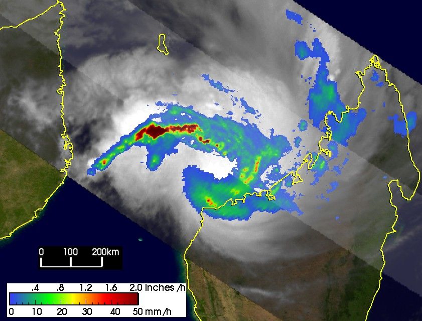
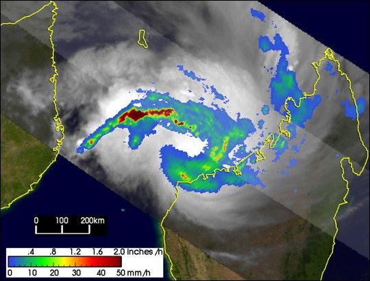
The Tropical Rainfall Measuring Mission (TRMM) satellite captured thisimage of Elita just after it had made landfall for the second time.The image was taken at 1:33 UTC on 3 February 2004. Rain rates are shownin the center swath from the TRMM Precipitation Radar (PR), the firstradar of its kind in space, while rain rates in the outer swath are fromthe TRMM Microwave Imager (TMI). The rain rates are overlaid on infrared(IR) data from the TRMM Visible Infrared Scanner (VIRS). TRMM revealsthat the rainfall pattern around Elita is very asymmetrical. Almost allof the rain close to the center is on the right-hand side. Only a verylocalized area of intense rain is observed near the center (small redspot) with most of the rain being moderate (green) to light (blue) inintensity. There is still good banding evident in the rain fieldassociated with the storm's circulation. Heavy rain rates (darker reds)are present in an outer rainband to the north. The second image is avertical slice as seen from the west through the storm showing thelocation of the heavier rain rates (darker reds) near the center and inthe outer rainbands.
The fact that Elita hovered for many days near the same area resultedin copious amounts of rainfall. The TRMM-based, near-real time Multi-satellite Precipitation Analysis (MPA) at the NASA Goddard Space FlightCenter monitors rainfall over the global tropics. The last image showsMPA rainfall totals for the period 27 January to 3 February, 2004. Itshows areas of rainfall exceeding 20 inches (darker reds) for theperiod all along the western coastline of Madagascar that also extendacross the Mozambique Channel to the east coast of Mozambique.
TRMM is a joint mission between NASA and the Japanese space agency JAXA.
References & Resources
Images produced by Hal Pierce (SSAI/NASA GSFC) and caption by Steve Lang (SSAI/NASA GSFC).