March 10, 2003
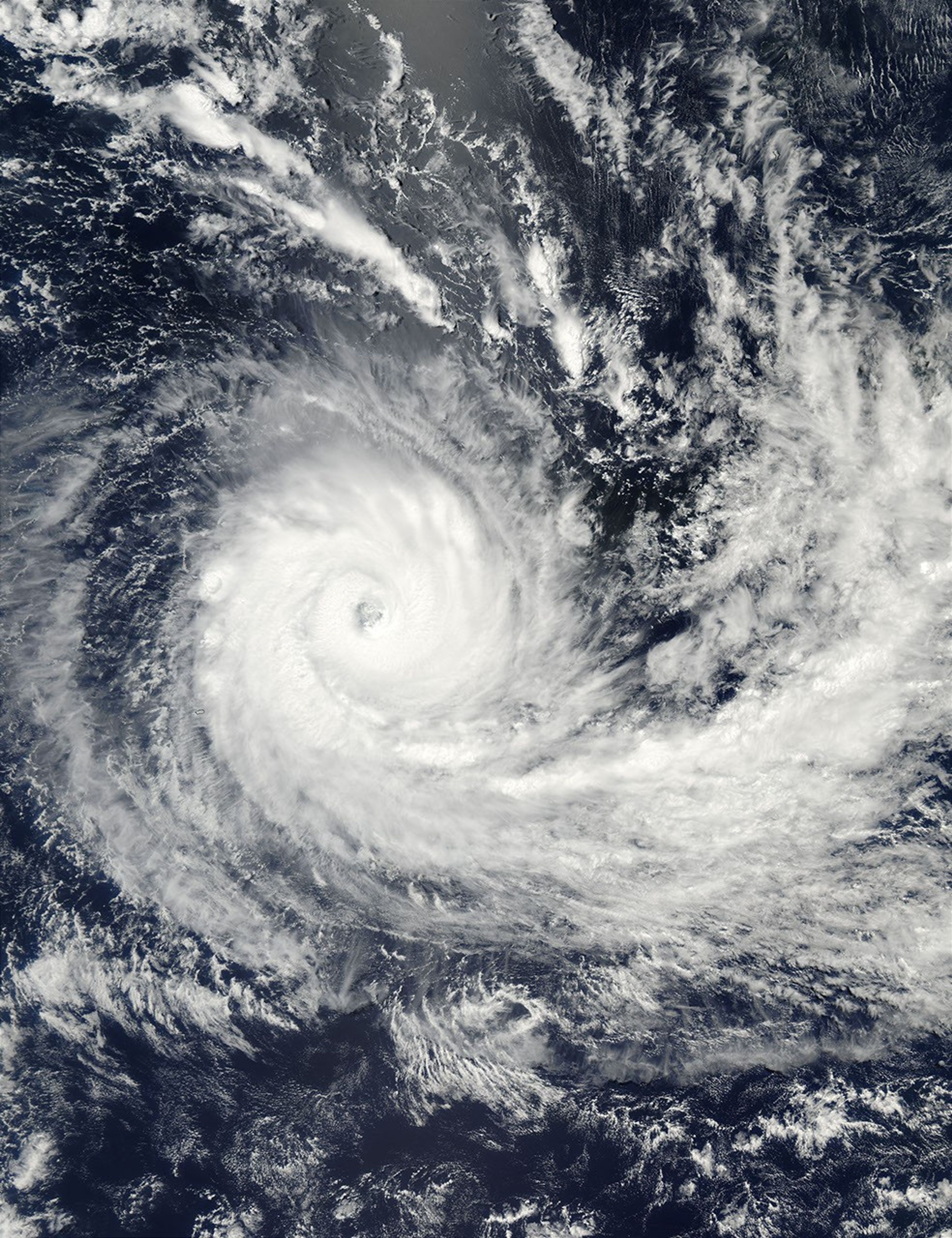
With sustained winds near 140 km per hour (87 mph), Tropical Cyclone Kalunde was situated well south and east of Diego Garcia in the center of the Indian Ocean. However, the latest forecasts suggest Kalunde will soon veer increasingly southward toward oblivion in the colder latitudes of the southern Indian Ocean.
This true-color image of the storm was acquired on March 10, 2003, by the Moderate Resolution Imaging Spectroradiometer (MODIS) aboard NASA’s Aqua satellite. The high-resolution image available here is 500 meters per pixel. Visit the MODIS Rapid Response Team, for a copy of this scene at MODIS’ full resolution of 250 meters per pixel.
References & Resources
Image courtesy Jacques Descloitres, MODIS Land Rapid Response Team at NASA GSFC