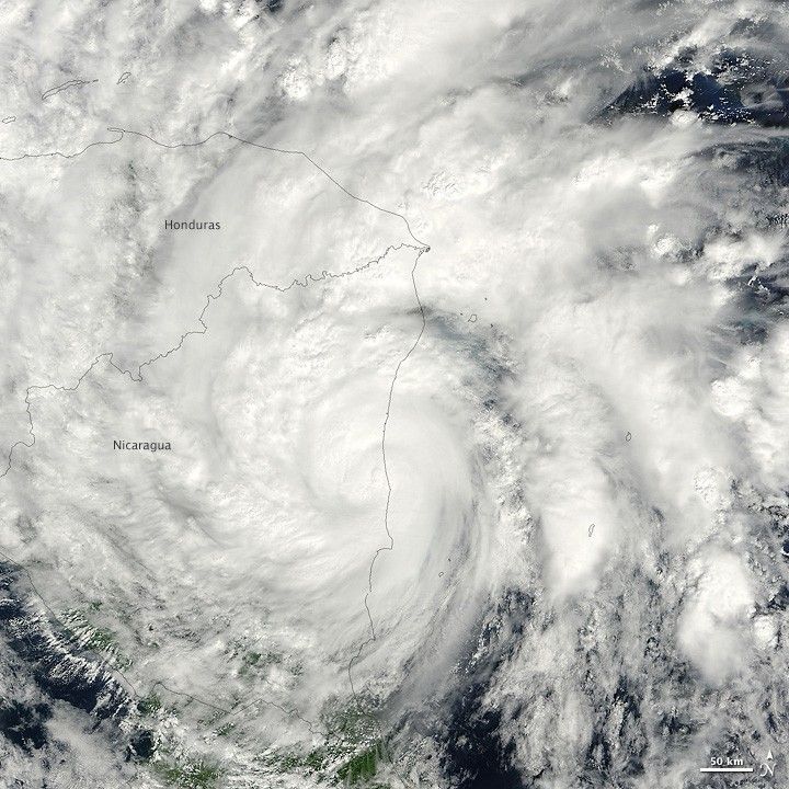
By midday November 5, 2009, Ida had weakened to a tropical storm but still brought the potential for heavy rainfall to Nicaragua, according to the U.S. National Hurricane Center. At 1:00 p.m. U.S. Eastern Standard Time on November 5, the center of the storm was roughly 125 kilometers (75 miles) north of Bluefields, and 105 kilometers (65 miles) south-southwest of Puerto Cabezas, Nicaragua. Sustained winds were about 100 kilometers (65 miles) per hour, and storm-force winds extended up to 110 kilometers (70 miles) from the storm’s center.
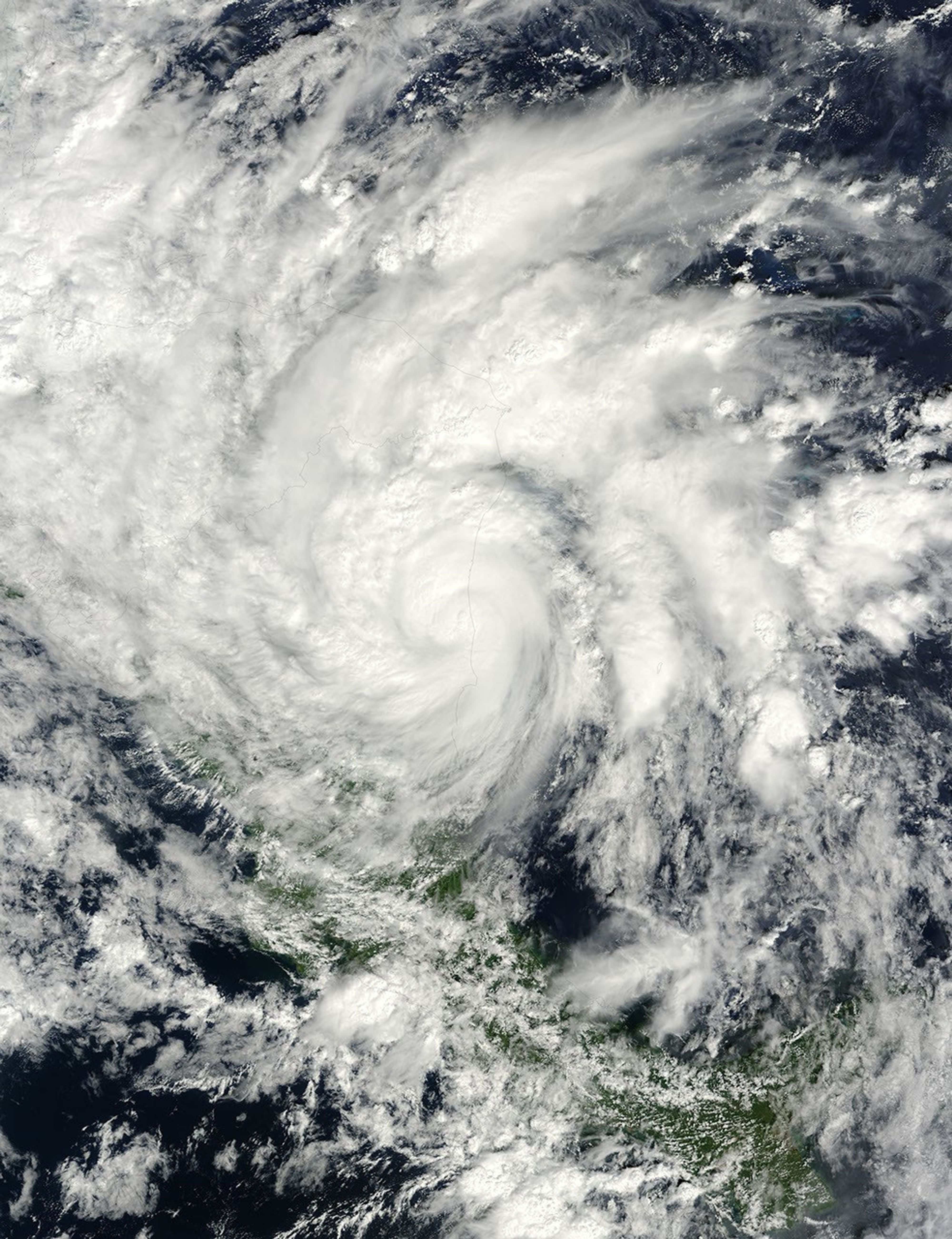
The Moderate Resolution Imaging Spectroradiometer (MODIS) on NASA’s Terra satellite captured this true-color image of the storm at 11:05 a.m. Eastern Standard Time (16:05 UTC) on November 5, 2009. The center of the storm hovers over Nicaragua’s eastern coast, and storm clouds obscure almost the entire nation. Clouds extend eastward over the Caribbean Sea, and northward over Honduras.
References & Resources
- National Hurricane Center. (2009, November 5). Tropical Storm Ida Public Advisory Number 5A. Accessed November 5, 2009.
NASA image courtesy the MODIS Rapid Response Team. Caption by Michon Scott, NASA Earth Observatory.