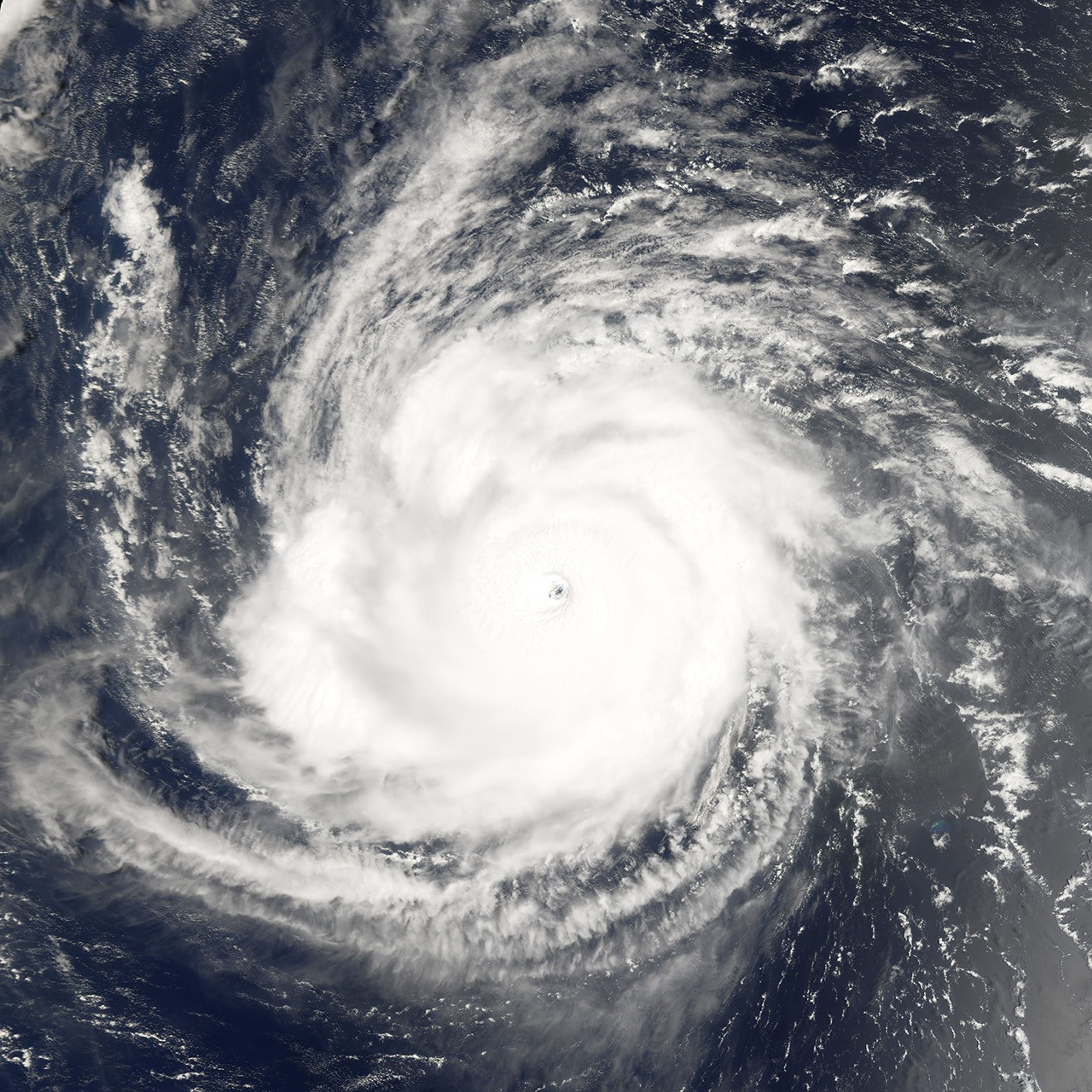
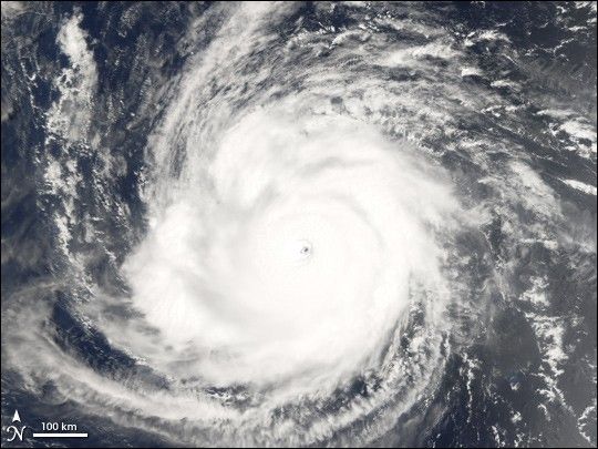
Hurricane Ioke started as all tropical cyclones do, as a depression—an area of low atmospheric pressure. After forming August 19, 2006, the depression quickly developed into a tropical storm, the threshold for earning a name. Ioke is the Hawaiian word for the name “Joyce.” Storms and hurricanes in the central Pacific are unusual, but they occur often enough for there to be a naming convention, applied by the Central Pacific Hurricane Center in Honolulu. The last named central Pacific storm was Huko in 2002. Ioke rose all the way to hurricane strength in less than 24 hours.
This photo-like image was acquired by the Moderate Resolution Imaging Spectroradiometer (MODIS) on the Terra satellite on August 24, 2006, at 11:55 a.m. local time (21:55 UTC). Hurricane Ioke at the time of this image had a well-defined round shape, clear spiral-arm structure, and a distinct but cloud-filled (or “closed”) eye. The University of Hawaii’s Tropical Storm Information Center reported that Hurricane Ioke had sustained winds of around 255 kilometers per hour (160 miles per hour) at the time this satellite image was acquired.
References & Resources
NASA image created by Jesse Allen, Earth Observatory, using data provided by the MODIS Rapid Response team.